ABOUT THE PARK:
Trough Creek State Park - PA DCNR
Rothrock State Forest - PA DCNR
Terrace Mountain Trail - U.S. Army Corps of Engineers
DIRECTIONS:
GPS Coordinates 40.32043, -78.12209
 |
| Parking across the street from Copperas Rock at the Copperas Rock Trail trailhead. |
TRAIL MAP:
Trough Creek State Park Map - PA DCNR
HIKE DISTANCE: 10 miles
THE HIKE:
 |
| Starting up the Copperas Rock Trail from the parking lot. |
 |
| Looking back at the parking lot from the trail. |
 |
| This sign is confusing. Straight ahead is still the Copperas Rock Trail heading towards the Ledges Trail. We would be returning from the Rhododendron Trail. |
 |
| Now right on the Ledges Trail. |
 |
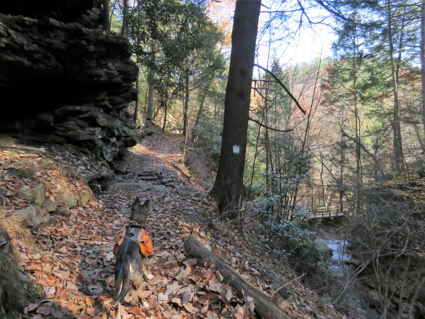
| We made a hard right before the bridge on the white-blazed Abbot Run Trail. |
 |
| Then crossed over the next bridge. |
 |
| That is after I had to yell to the nowhere in sight owners as their THREE off leash dogs charged us. They called them back but the dogs still are not near them. And this is why Brodie becomes increasingly more leash reactive. |
 |
| At least they had corralled their dogs by the time we got to Balanced Rock but this is as close as we could get and had to move on. |
 |
| On to the yellow-blazed Raven Rock Trail. |
 |
| The Raven Rock Trail leads all the way to Great Trough Creek. |
 |
| We then retraced and turned right on the red-blazed Brumbaugh Trail. Now we were on more remote trails heading away from the main attractions and never ran into anyone else. |
 |
| Crossing Old Forge Road. |
 |
| It looked like the trail crossed this depression but we lost the trail and had to backtrack. Then I saw the turn blazes on the downed tree. |
 |
| So where it looks like you go straight (a path starts indicating others have thought the same) it's a left turn in the depression. |
 |
| The trail becomes more of a woods road. |
 |
| The leaves had all come down a few days prior in heavy wind storms so there were some nice views from the top. |
 |
| At the crest, a cairn, and just beyond ... |
 |
| ... winter views of Raystown Lake (much more visible in person than in the pictures). |
 |
| The trail turns right and follows the ridge for quite a while with Raystown Lake views all along the way. |
 |
| The trail is a footpath as it descends down the spine of the ridge |
 |
| At the end, a left on Old Forge Road ... |
 |
| ... on the Terrace Mountain Trail. |
 |
| Old Forge Road ends at the barrier and the trail continues as a footpath. |
 |
| I figured we had time for 2 miles so mile marker 11 was our goal before turning back. |
 |
| Beautiful views of Great Trough Creek flowing into Raystown Lake all along the way. |
 |
| The trail gets a little rough at times with blow downs and overgrowth but there is always a visible path yet we ran into nobody else. We could hear and see people on the other side of Great Trough Creek on the more manicured multi-use trail. |
 |
| Here we are at mile 11, our turn around point. |
 |
| Heading back. |
 |
| Around to the left of the barrier ... |
 |
| ... then leaving Old Forge Road to the left through the gorgeous hemlocks... |
 |
| ... where we found a really nice break spot. |
 |
| Continuing on Old Forge Road. |
 |
| This is still the Terrace Mountain Trail which turns left ... |
 |
| ... and crosses a bridge over Great Trough Creek. |
 |
| Great Trough Creek |
 |
| We veered left towards ... |
 |
| ... Trough Creek Drive and continued a short distance on the paved road to ... |
 |
| ... the Ice Mine. |
 |
| Down we when were I snapped a shot with the flash into the opening where it was too dark to see anything. It wasn't until I got home and uploaded the pictures that I noticed ... |
 |
| ... something hanging from the ceiling. |
 |
| I had been eye-to-eye with a bat! And he didn't even flinch. He was probably cursing the flash of the camera :( |
 |
| Heading back the way we came from the Ice Mine, the Boulder Trail starts just to the left. |
 |
| Uphill ... |
 |
| ... uphill ... |
 |
| ... uphill. |
 |
| At the top we turned left on the Laurel Run Trail. |
 |
| There weren't many blazes (was this one?) and with the thick leaf drop I had to trust Brodie's trail finding skills, which are usually pretty good. He stayed on track the entire time with or without blazes. |
 |
| This looks more like a green blaze where Laurel Run Trail crosses Terrace Mountain Road. |
 |
| Then there are yellow blazes. |
 |
| And yellow and green blazes. So let's just say it's blazed "green and/or yellow and sometimes gray/black". |
 |
| There are also a few signs along the way to confirm the trail. |
 |
| Looks like old bridge abutments at Laurel Run. |
 |
| The trail will cross Laurel Run many times but there are always rocks to hop across on. |
 |
| We took the trail to Terrace Mountain Road ... |
 |
| ... where straight ahead across Terrace Mountain Road is the Boulder Trail. That was the wrong direction for us and there was no sign to the left but the trail does go left, which is the way we needed to go. |
 |
| On the Boulder Trail. |
 |
| Heading towards Trough Creek Drive on the Boulder Trail. |
 |
| The trail starts to switchback down steeply. |
 |
| Trough Creek Drive waaaaaaay down below. |
 |
| At the bottom, we crossed Trough Creek Drive ... |
 |
| ... veering left towards the suspension bridge. |
 |
| The bridge didn't start to sway until we were in the middle and it kind of freaked Brodie out. |
 |
| Great Trough Creek from the suspension bridge. |
 |
| Left on the Rhododendron Trail. |
 |
| Left on the Copperas Rock Trail ... |
 |
| ... back to the parking lot with only a little time to spare before sunset. We had just lost that hour of sunlight with Daylight Saving Time. |
 |
| There was just enough light left for a quick trip across the street to Copperas Rock. |
 |
| It was the last leg of our trip home to New Jersey from Missouri and with 4 more hours of driving ahead, this did the trick. |
 |
| Brodie didn't get any and he was sound asleep before I pulled out of the parking spot. |