ABOUT THE PARK:
DIRECTIONS:
GPS Coordinates to Buttermilk Hill Trailhead: 37.784612, -89.473185
 |
| It's a long drive up a single lane gravel road that is in pretty decent shape but harrowing when a huge pickup is coming your way - that only happened on the way out and by some miracle we were able to pass one another unscathed. |
 |
| Buttermilk Hill Trailhead Parking |
TRAIL MAP:
The maps are not completely accurate - I will note that at those points. The trail is very poorly marked and often difficult, if not impossible to follow. Your best bet is to grab a known track (such as mine - you will be able to see where not to go) and be sure to save the map of whatever navigation app you use to your phone as there will be no cell service.
HIKE DISTANCE: 11.8 miles
THE HIKE:
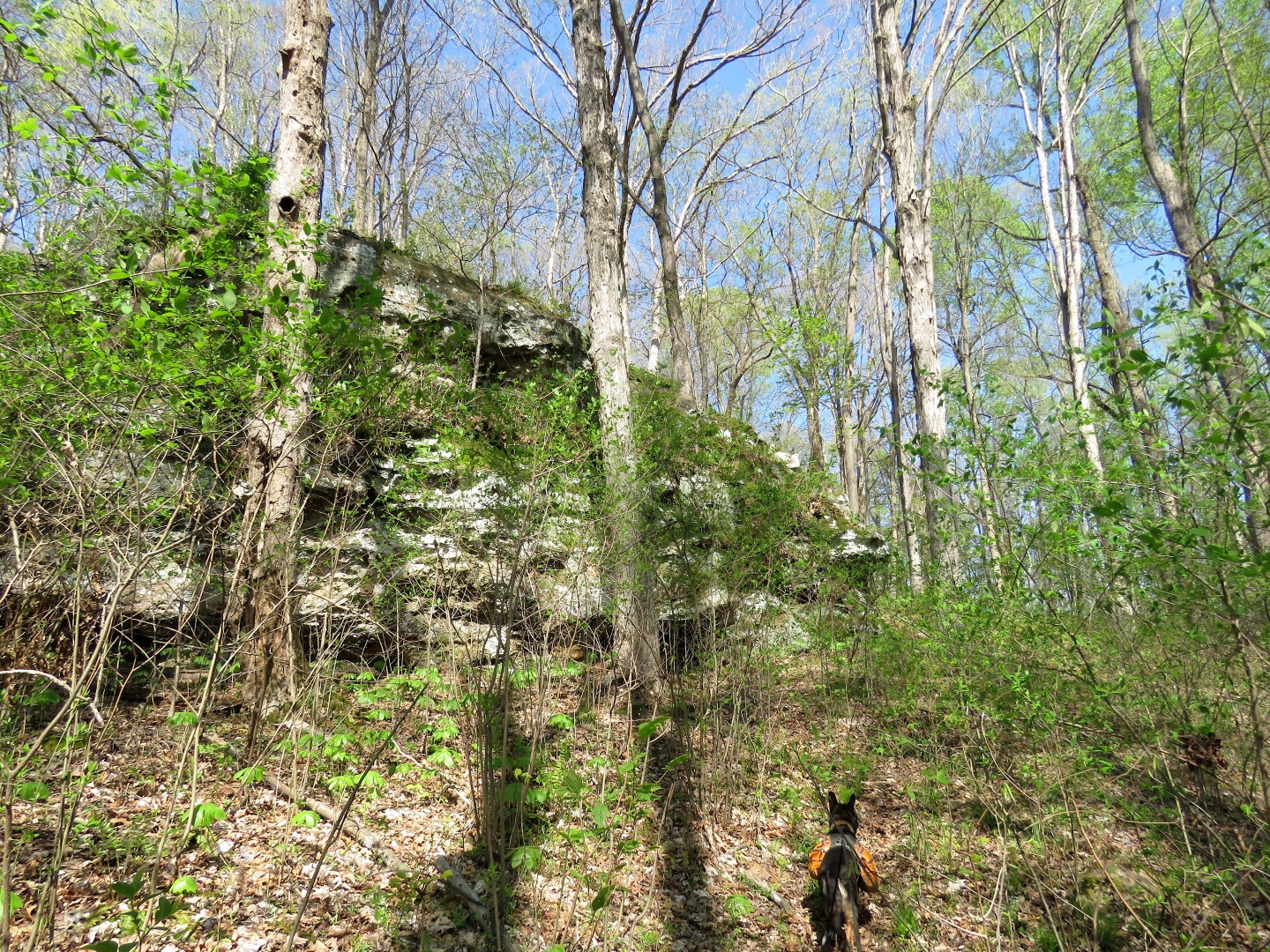
It's a beautiful hike, very wild and remote. But as I mentioned it is poorly marked and can be very frustrating finding the trail once it is lost. There would be very few lake views with foliage - this was the best time with leaves just starting to come out to still be able to see the lake and no overgrowth yet on trails that will be very overgrown come summer. Birds and wildflowers were abundant. Horses are allowed on all of the trails for this hike but there was no evidence at all of horse traffic on the Kincaid Lake Trail portion. There weren't even any human footprints so it's a very lightly used trail, perhaps because it is so difficult to follow.
 |
| We would be starting to the right and returning from the gated woods road at the left. |
 |
| The white sheet in the kiosk gives emergency contact info but once you descend from the parking lot, which is about the highest point of the hike, there is no cell service. |
 |
| The trail is blazed with white diamonds, either metal or wooden markers or paint - sometimes. |
 |
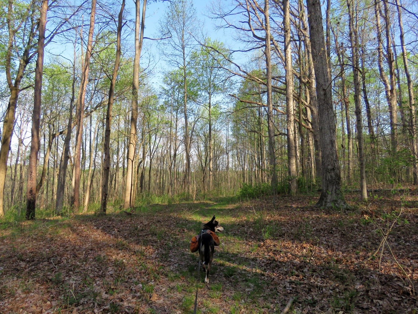
| Starting out on a wide trail through beautiful pines ... |
 |
| ... changing to hardwoods. |
 |
| At this intersection (which does not match up with the app), left on the Kincaid Lake Trail which is trail 382. |
 |
| Heading to Hidden Cove. |
 |
| The trail is now a more narrow footpath. |
 |
| Confirmation that it is trail 382. |
 |
| Once you see the back of this sign, the turn has been missed but I did not know that yet. |
 |
| We crossed several small streams following a well-defined trail, then rock hopped this larger creek only to find no trail on the other side. When checking the app I could see we had gone too far so we headed back. (In retrospect, another option would have been to follow the creek to the right but I wasn't sure that was the correct way at the time.) |
 |
| You can see on my purple track where I overshot the turn. |
 |
| After some back and forth (it's all cliffs going down to where I needed to be) I noticed this very faint trail that lined up with the app so that is the way we went. |
 |
| That trail took us back down to that creek where there were a couple of trail markers but no distinct trail so it took some bushwhacking and hunting around to find the trail. The part highlighted in yellow is what is hard to follow. |
 |
| Heading down on the faint trail... |
 |
| ... to the creek where there were some markers and paint blazes but no trail. |
 |
| After some bushwhacking and searching, YAY, the trail! |
 |
| This is how you lose the trail if there is no marker and a mass of blow downs |
 |
| The trail gets a little better now as it follows the lake and even though I lost it multiple times along the way, it wasn't that hard to find again. |
 |
| Expect several blow downs to navigate through or around. |
 |
| Uh oh. Brodie has a very strong turtle prey drive. They don't even move but he is obsessed with them. It took all my strength to drag him past that turtle and he kept turning back wanted to get back to the turtle. |
 |
| Sorry for the rudeness little guy. |
 |
| He finally forgot about that turtle. |
 |
| Good to know we are still on the trail. |
 |
| There were many, many creek crossings but none of them difficult at all and there had been rain in the previous days. |
 |
| I had seen balloon #13 way up at the top of a hill on the ground and tied brodie up before going to retrieve it. |
 |
| This boulder in a creek made a great seat so that was our break spot. |
 |
| Yellow-rumped warbler. I had seen so many different types of birds on this hike but this is the only one that sat still for more than one nanosecond to where I could get the picture. There had been a bald eagle and two white egrets flying over the lake but too many tree branches were in the way. |
 |
| When the trail reaches this wider creek, there are blazes but they are confusing and kind of lead you around in circles. We had to go to the left to rock hop the creek ignoring the blazes. |
 |
| Oops. Looks like someone didn't make it out but it didn't look like there was a skeleton in that sleeping bag. |
 |
| Once on the other side of that creek the trail is very well defined. As this is nearing the Hidden Cove Trailhead, it seems more people must venture out to this point making the trail easier to see. |
 |
| These two pipevine swallowtails were, um, well, let's just say they might want to change it to "the birds and the butterflies" instead of "the birds and the bees." |
 |
| Yes, there were two of them. |
 |
| Many, many turtles in Kinkaid Lake. |
 |
| There is a decent amount of boat activity on the lake coming from Johnson Creek Recreation area so that was the only sign of humans along this stretch. |
 |
| Coming up on this T-intersection, which way to go? I decided to go left. |
 |
| I soon realized this was not on the map or the app and I needed to be in a different place, or so I thought at the time. So I backtracked ... |
 |
| ... and took the right turn option instead to go to the Hidden Cove Trailhead hoping I would find some sort of sign for the Waterfall Trail, which is where I needed to be. |
 |
| We crossed this creek ... |
 |
| ... and I noted an old bridge to the left. |
 |
| Between the creek crossing and bridge was this post that did not tell me anything. |
 |
| At the Hidden Cove Trailhead, no information or signs and that trail to the left certainly was not the one I wanted. |
 |
| Going the other way was this marker ... |
 |
| ... to the rickety bridge, which I knew was correct because I had read somewhere that this was the bridge to cross for the Waterfall Trail. |
 |
| There is a path ... |
 |
| ... that leads right back to the way we had just come so I had to go all the way back to where I had been in hopes that was right but there did not seem to be anything else. |
 |
| The thin pink line is what there is supposed to be, the heavy pink line is my track and it did indeed loop around to where I needed to be. |
 |
| So, the bottom line is what is highlighted in yellow does not exist even though that is what is shown on the USDA map. At that T-intersection, turn left and keep going and you get to the Waterfall Trail. |
 |
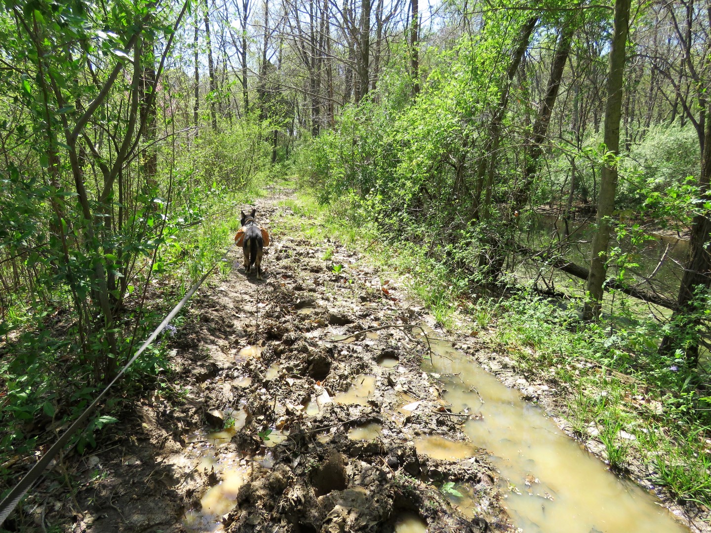
| It's all old woods road for quite a while, very easy to follow, just a couple of slimy, slippery chunked up spots from horses and some severe erosion to navigate around. |
 |
| We did encounter a couple on horseback along this stretch and they were very surprised to see me. They said they never run into anyone. With as hard as it is to find, I can see why. |
 |
| Looking back at this sign, seems like we just came from the forest ridge. |
 |
| Coming up on the waterfall. |
 |
| It continues to cascade down to the left but the only view is from the top of this ledge. It's very steep to go down to see it from the bottom up. |
 |
| The woods road continues around behind the waterfall. |
 |
| One of those elusive blazes. |
 |
| Black rat snake off to the side of the trail. |
 |
| Fish in the creek. |
 |
| It was an 85-degree day after the highs being around 50 degrees so I was hot and tired and took my shoes and socks off and waded in the creek for a bit while Brodie rested. That felt so good! |
 |
| The woods road ends at the gate ... |
 |
| ... where we turned right to walk on the road for a bit. |
 |
| At this intersection, according to the map, a woods road should go to the left. It does not. |
 |
| There was a faint path through overgrowth so we took that. It fizzled out and I ended up bushwhacking up towards the ridge where I ran into the woods road and turned left. |
 |
| At problem spot #3 the yellow is where I bushwhacked until I found the woods road. Looking at Google Earth it seems that had I followed the power cut to the right when I lost the trail, I should have hit that woods road (red dots) but it does not come out onto the forest road. |
 |
| Now it's smooth sailing on a nice woods road all the way back to the parking lot. |
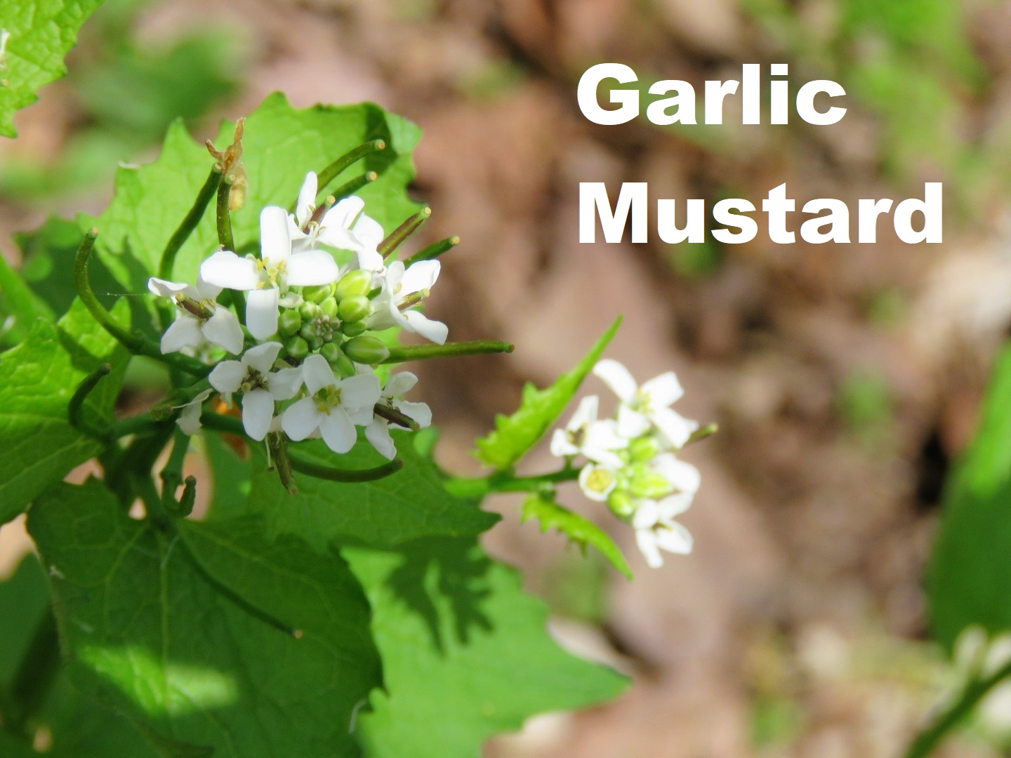
I used the Seek app to identify some of the many wildflowers I encountered during the hike: