ABOUT THE PARK:
Sterling Forest State Park - NY State Office of Parks, Recreation and Historic Preservation
New 7-Mile, Multi-Use Trail Loop Opens in Sterling Forest - NYNJ Trail Conference (Note that the Munsee-Eagle and Hutchinson Trails total 7 miles but another 2 miles are needed on the Red Back Trail to complete the loop.)
DIRECTIONS:
GPS Coordinates 41.17654, -74.22704
TRAIL MAP:
Sterling Forest Trails Map 100 - NY/NJ Trail Conference
Sterling Forest State Park Trail Map - NY State Office of Parks, Recreation and Historic Preservation
HIKE DISTANCE: 9.3 miles
THE HIKE:
This trail just opened end of 2018 and the many hours of volunteer work are evident throughout. We love having new trails to explore. Thanks!
 |
| At the gate from the parking lot, straight on the woods road on the Red Back Trail. |
 |
| A short distance ahead the trail leaves the woods road. |
 |
| After rejoining the woods road, right on the blue Muncee-Eagle Trail. |
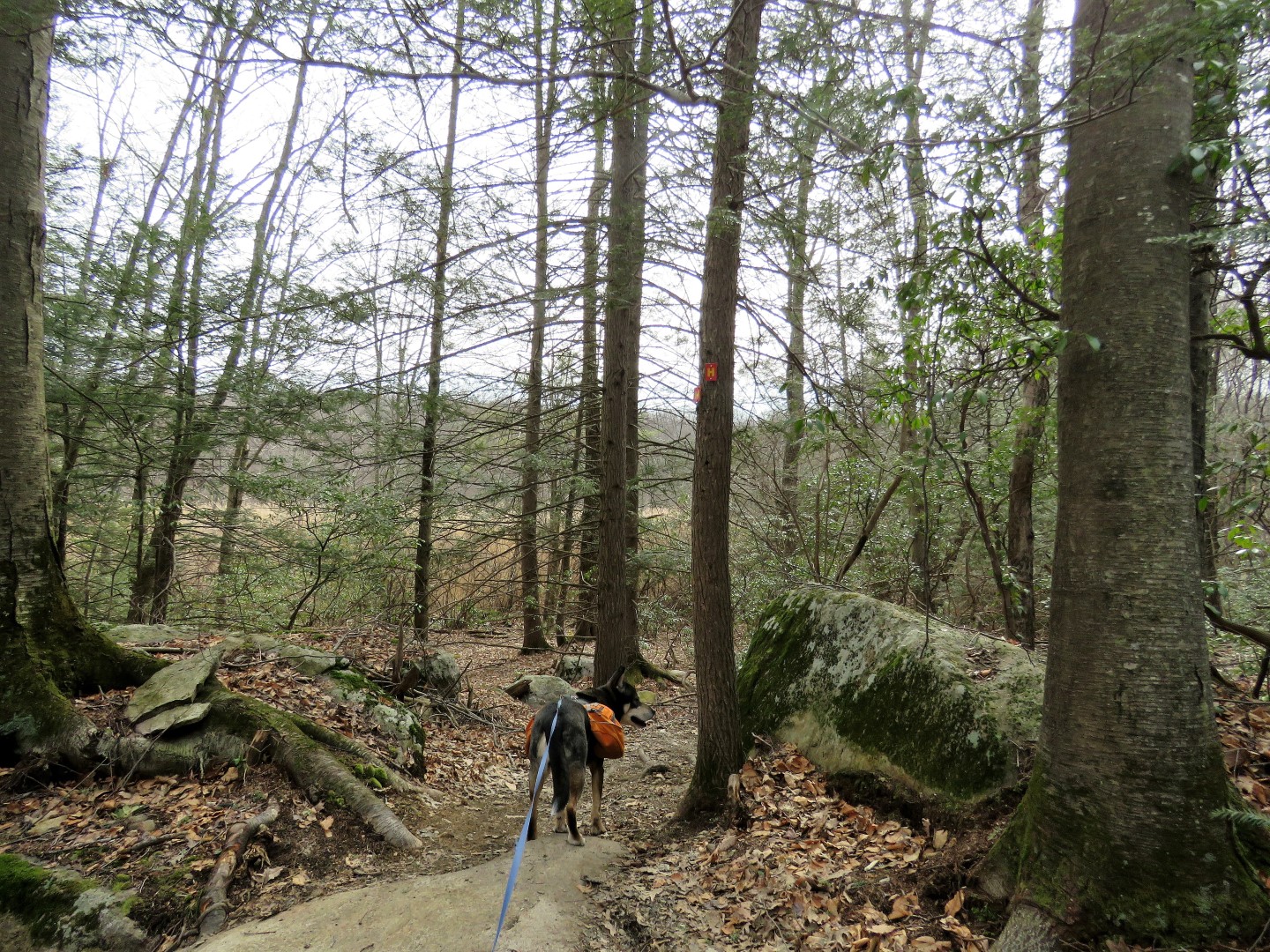
 |
| Lots of amazing stone work along the way. |
 |
| Brodie notices immediately that this looks out of place. Apparently more construction to be done. |
 |
| Power cut views. |
 |
| Through the power cut ... |
 |
| ... to continue on the trail on the other side. |
 |
| Brodie might be reactive to other dogs but he is completely non-reactive to mountain bikers. He politely steps off trail and waits, they fly by, and we are on our way again. |
 |
| According to All About Birds: "Eastern Phoebes are among the first migrants to return to their breeding grounds in spring—sometimes as early as March." |
 |
| So we have an early migrant here! |
 |
| Off to the left ... |
 |
| Balloon #34 of the year. |
 |
| Just around the bend ... |
 |
| Balloon #35 |
 |
| The woods are free of balloon litter once more. |
 |
| At the end of the Muncee-Eagle Trail ... |
 |
| ... we turned right on the Hutchinson Trail. |
 |
| A short distance ahead, a pond on the left ... |
 |
| ... with an early migrant tree swallow back from the south. |
 |
| At the end just beyond the pond, the Caretaker Parking Lot. |
 |
| Here we turned around to take the Hutchinson Trail from the beginning. |
 |
| A break ... |
 |
| ... and they're baaaaaack! I have actually seen ticks in the snow in January but not in full force like now :( |
 |
| The Hutchinson Trail straightens out and is pretty much a straight gradual downhill through to the end. |
 |
| This sign confused me because it is actually the Red Back Trail both ways and you definitely want to keep straight here unless you want an even longer hike. |
 |
| But once I compared my Red Back Trail track from 2015 (red) with today's track (pink) I could see where there had been an extensive amount of rerouting off of the gravel road so that is probably what the "new trail" referred to. And it is much better than the woods road! |
 |
| Some old stonework off to the right and ... |
 |
| ... a ship?!?!? |
 |
| Back on to the short gravel road section ... |
 |
| ... to the parking lot. |