THE HIKE:
An exceptionally nice network of easy to follow, well-blazed trails of varying difficulty with directional posts at every intersection. As it is a work in progress, a couple of newer trails are not on the map yet.
From the P5 parking lot, through the gate to ...
... a 3-way fork a short distance ahead.
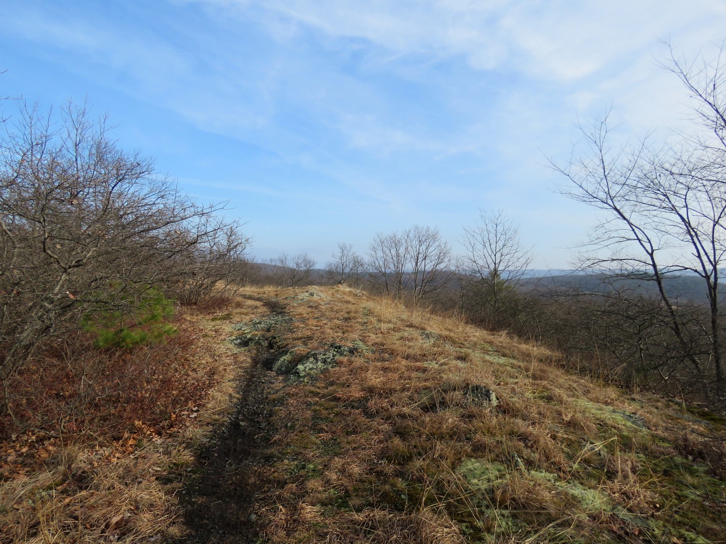
We turned left on the red triangle Cosmic Charlie Trail.
This trail ascends with nice winter views in the distance.
At the end of red triangle ...
... left on blue circle Hula Hubbard Trail.
This trail continues along the outer edge with more views along the way.
At Skyline Drive (which is seasonally closed to vehicles) the blue circle trail ends ...
... and straight ahead will lead to the overlook then the red square Turntable Trail..
Head right towards the Pt. Peter flags ...
... and amazing views.
Continuing along, the red square Turntable Trail begins.
Route 209 bridge from Port Jervis, NY over the Delaware River to Matamoras, PA.
High Point Monument, NJ
Staying with the red square trail because a left on the blue triangle Pt Peter Trail leads down into Port Jervis.
Now leaving red square left on the blue circle Throwing Stones Trail to stay with the perimeter.
At the end of blue circle, left on blue triangle (shown as blue square on the map and different than the blue triangle Pt Peter Trail from earlier) Sugaree Trail.
Last view of the Delaware River to the north.
The trail does not go over to P2 at the powercut but that is where we needed to be so just a short off trail section to get there.
From P2 we wanted the blue square Scout's Honor Trail.
That was beyond the now closed Skyline Drive gate just a short distance to ...
... a left on blue square.
Leaving blue square to left on red square Blueberry Karma which is not blazed ...
... rather marked with City of Port Jervis discs.
And it's here, up a hill, that we found the final balloon of the year #67.
Our Mylar balloon stats so far, all found while hiking.
Coming up on this ridge ...
... where the birds hang out.
And some deer.
We crossed this bridge over to Reservoir Road when red square went left.
At the end of Reservoir Road, right on Box Baum Road. Can't see this reservoir (Deerpark Dam/Reservoir #3) until ...
... just a little glimpse at the far end.
Right on ...
... yellow circle Hugeunot Hill which is not paint blazed, rather marked with City of Port Jervis discs.
It's a woods road which does not appear to be used much at all. I removed lots of downed branches along the way.
Almost at the end, the red diamond Painted Arrow Trail, not yet on the map. But we kept straight to the end ...
... where we turned right on Brant Path.
Brant Path is a gravel road that leads to ...
Mirror Lake/Reservoir #2
Beyond the reservoir, we turned left on the red triangle Dejay Downs Trail.
This trail descends into a ravine ...
... with little waterfalls.
The trail follows this pretty creek most of the way.
The red triangle trail ends at a power cut where a right turn leads to ...
... a little rock hop.
Then a left on Beginners Berm.
The other end of that red diamond Painted Arrow Trail - noted for another time!
For now, straight on Beginners Berm to ...
Brewer's Reservoir/Reservoir #1
And back to a much busier parking lot although we only ran into two mountain bikers and two hikers the entire time.
Much to Brodie's delight, on the way home I stopped at a roadside stand for fresh farm eggs for his dinner. It was KILLING him to sit there waiting to be released to eat (note the blur of the rapidly wagging tail) so let's snap this pic and let the starving boy eat!
To close out the year, one picture from each hike.