ABOUT THE PARK:
Appalachian Trail in New Jersey - Appalachian Trail Conservancy
DIRECTIONS:
GPS Coordinates 41.306042, -74.587376
 |
| Room for 2-3 cars on Mt. Salem Road across the street from gated Goldsmith Road. |
TRAIL MAP:
New York/New Jersey Guide - Appalachian Trail Conservancy
HIKE DISTANCE: 12.7 miles (6.35 miles each way)
THE HIKE:
 |
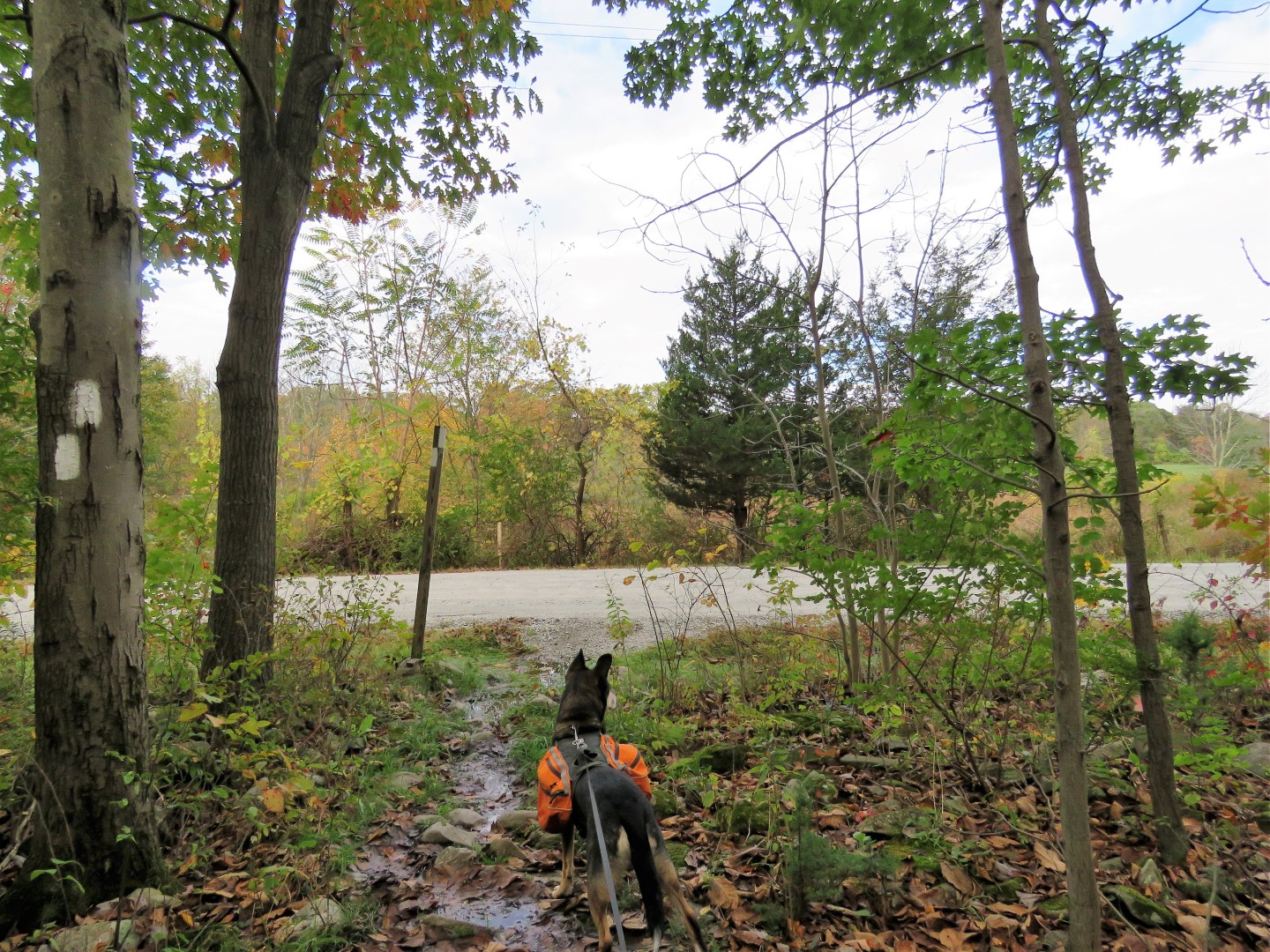
| On the north side of Mt. Salem Road, slightly west from the parking spots, gated Goldsmith Road (no sign). |
 |
| It's just a short distance down the hill to ... |
 |
| ... where the Appalachian Trail crosses over. We turned left to go south on the AT towards High Point. |
 |
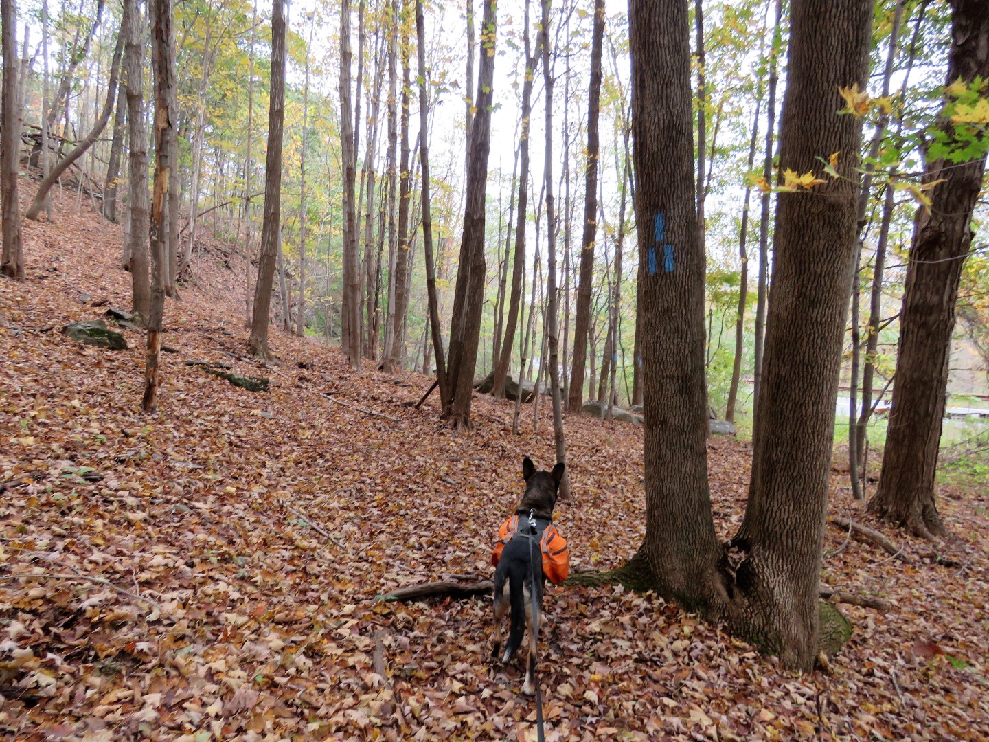
| With yet even more rain during the week, long sections of trail were soggy or flooded. |
 |
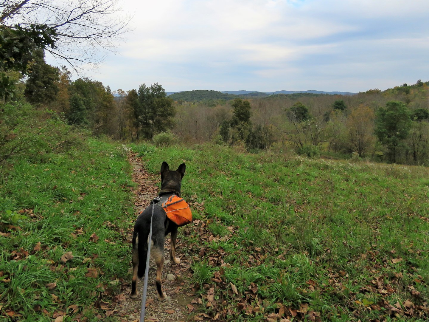
| Coming out on a meadow ... |
 |
| ... with early morning views behind us. |
 |
| A little farther along barely visible in this picture ... |
 |
| ... High Point Monument in the distance. |
 |
| An Eastern Phoebe probably on his way south for the winter. |
 |
| Coming up on Goodridge Road where the AT crosses over. |
 |
| Several bridges over creek crossings. |
 |
| The last crossing is a rock hop which was actually easier than it looked. |
 |
| Coming up on Gemmer Road. |
 |
| Yellow-bellied Sapsucker |
 |
| Brown Creeper |
 |
| At Mt. Salem Road (not the same Mt. Salem Road where I parked - these streets get so confusing in this area!) the trail turns right a few steps .... |
 |
| ... and just before the New York State line (notice how the road changes from gravel to paved) ... |
 |
| ... the trail turns left. Used to be you had to climb the stiles but they have all been moved now so you just go around them. I was relieved to find this since I was not sure how Brodie would do climbing them. It used to be Shawnee's worst nightmare. Fortunately it wasn't an issue on this hike. |
 |
| The trail now goes through a swampy area where sometimes there are puncheons, sometimes not, but there are a ton of birds here. |
 |
| Some female red-winged blackbirds. |
 |
| Pigeons on a distance silo. |
 |
| A house sparrow in hiding. |
 |
| Field Sparrow |
 |
| There were lots of old stone farm walls throughout with the trail going over several. |
 |
| At one point, with no rocks around to stand on, there was no avoiding mud soup. |
 |
| Northern Flicker |
 |
| Balloon #50 of the year. |
 |
| Crossing gravel Courtright Road. |
 |
| Coming up on Route 519. All of the road crossings to this point have been quiet country roads. Cars FLY down this road so when the close was clear ... |
 |
| ... we RAN over diagonally to the left ... |
 |
| ... into the safety of the woods. |
 |
| The blue trail leads to a small parking area off of Route 519 because road walking to the AT would not be safe at all. |
 |
| The trail switchbacks up, first on steps. |
 |
| Once up on the ridge, it's pretty flat and easy going for a while. |
 |
| We had only seen one other hiker this entire time so we just sat in the middle of the trail for a break. |
 |
| Coming up on a pretty creek ... |
 |
| ... with a rock hop over. |
 |
| This blue trail leads to the High Point shelter. |
 |
| Now the trail climbs again and becomes very rocky. |
 |
| Almost at the top, the intersection with the trail to High Point monument. This would have been our turn around point but we were so close to the viewing platform that we turned left to go there. We were at the monument earlier this year and it kind of puts a damper on a nice peaceful hike since it's so crowded and loud there. |
 |
| High Point monument behind us. |
 |
| At the viewing platform. |
 |
| Heading back. |
 |
| Our sprint back across Route 519. |
 |
| I thought I heard someone day "baaaaaaa" off to the right. |
 |
| Turkey Vulture |
 |
| At first I thought it was a horse over to the left but turns out it was a deer in someone's yard. |
 |
| White-throated Sparrow |
 |
| Back at Goldsmith Road |
 |
| Left on Mt. Salem Road back to the car. |


what a great hike - Love the pics! :)
ReplyDeleteThanks! I particularly liked this section of the AT because there was so much solitude. It's crazy busy up by High Point but you instantly descend back into peace and quiet going this way because nobody else goes this way.
DeleteI love your pictures. It looks like the foliage is starting to turn a little. Brodie looks so cute. Thanks for sharing! Joanne from NJ
ReplyDeleteThanks, Joanne. The foliage was pretty disappointing. I had heard not much was turning yet where it should almost be peak up there by now. Any color was mostly yellow and there was already a ton of leaf drop.
DeleteDid you do this hike recently? I tried this hike yesterday and eventually gave up due to being unable to park. I navigated to the coordinates given in the post. I did wind up at the intersection of Mt. Salem and Goldsmith Roads, but things were very different than they seem in your post. There was no wider shoulder area for parking within several hundred feet in either direction from the Goldsmith Road intersection. The only clear area was an excavated driveway that led to a house under construction. A couple of shoulder areas on Mt. Salem Road looked wider, but the grass was high enough to be a fire hazard from contact with a hot car exhaust. There was a street sign for Goldsmith Road at the intersection, but there was no closed gate blocking access at the intersection with Mt. Salem Road. There was a gate on Goldsmith road, but it was a couple of hundred of feet down Goldsmith Road (had to back out, so appreciated the reverse camera in the car...). I'm a professional geologist and am proficient with mapping and navigation, but am a bit confounded by this discrepancy.
ReplyDeleteI just did it this past Sunday. I copied the coordinates from above into Google Maps to make sure I did not put something wrong then went into street view and it is the place where I parked and started. You can see the gate in street view. There was room for at least 2 cars, if not 3. Those little streets are very confusing in that area. There are mostly no street signs and names are very similar. There is also a Goldsmith Lane just east of Goldsmith Road so maybe that is where you were? I did not see a sign saying Goldsmith Road, it's just a gated gravel road. There were for sale signs on either side of the gravel road so I assume it's the property at the end of that road that is for sale. I just went into street view at Mt. Salem and Goldsmith Lane and that matches your description so seems like you were at the wrong Goldsmith. So very confusing! Try again, it's a nice hike!
DeleteJust looked again and that's exactly what happened - better to be mistaken than crazy, I suppose! When I was up there yesterday and missed this hike I headed to the High Point AT parking lot on 23 and did a hike from there to the AT down to High Point Shelter, picking up a surprising amount of trash. I may try this again tomorrow or head over to hike a section of the AT in the area of Rattlesnake Mountain. I took this week off so as not to lose vacation so was doing a series of dayhikes. I forget what a mess traffic is coming from central NJ up to that area. I have a pretty long commute, but its a straight shot on the Turnpike southbound, so never a traffic jam. I need to take a page from your book and head out before dawn.
DeleteIf the leaves ever change, a nice loop hike in that area is to start from the High Point State Park parking lot on Route 23. Take the blue connector trail to the Iris Trail. Iris an old forest road that runs along the lake. From the Iris Trail, take the AT with an optional stop at the Rutherford Shelter (about 0.33 miles from the AT due to AT relocation). As the AT continues past the shelter, it climbs to the ridge line where there are some great views all the way across to Wawayanda Mountain. The AT then intersects with the blue connector trail which you take back to your car. Its about a 7 mile loop, but the Iris trail is very very wet at the moment. There is one steep decline on the AT, but Brodie could probably handle it.
I am just heaving a sigh of relief that I did not type the coordinates wrong. The AT from Route 23 to the monument is crazy busy on weekends so I can imagine there was quite a bit of garbage. There was a little the way I went but I think I got most of it. Brodie is so good about standing still while I load up his backpack with garbage. I have done that loop you described but apparently in the pre-blog days so it was many years ago. I have hiked just about every trail in High Point State Park so I'll have to go back and do that one again when it dries. Getting kind of tired of wet, slimy trails. Thanks for the heads up!
DeleteNever to accept defeat, I was back up at the correct Goldsmith this morning and did the hike. What a great route. Its a welcome change from the green tunnel that is a lot of the AT. The correct Goldsmith is actually the driveway to the not-so-secret "Secret Shelter" which is on a farm owned by Jim Murray (and home to two donkeys). Jim is a former thru-hiker who bought the land and built his own unofficial shelter, complete with a shower and electricity, for thru-hikers. The entrance to the driveway isn't posted and Jim is a friend to hikers - but the property looks to be for sale and the new owners may not feel the same about hikers using the driveway. A couple of heads-ups to potential hikers. There area lot of tall grasses and we now are in time of year for the adult life stage of Lyme-carrying blacked-legged ticks, so treat your clothing and check yourself after the hike. The second thing to watch out for is the terrible blazing. With leaves on the ground covering the rocks, you have to pay attention to your footing, but it's easy to lose the trail since there are areas where the trail alignment isn't obvious that are unblazed . All of the leaf fall exacerbates this by hiding the "beaten path". I found myself going to Guthook's app a couple of times to realign myself. I also met a pair of section hikers and two individual SOBO thru hikers who brought up the poor blazing in NJ relative to other states. I've been a member of NYNJ Trail Conference for years, but lately they seem to be much better at self-congratulatory marketing as the "Guardians of the Trail" than at actually maintaining it. I'm probably not renewing my membership. They spent a ton of money putting up kiosks )that have the exact same info as the existing State Park kiosks) at very busy AT trail crossings rather than buying a couple of gallons of white paint. In a lot of areas, including this route, blazes are few and far between and/or haven't been refreshed in years. So keep your eyes on your feet and on the blazes. Thanks for posting this great hike.
DeleteGlad you made it! I never expected it to be as nice as it was so it was a pleasant surprise. A lot have leaves must have fallen during the week. I didn't have any trouble following the trail at all. I had heard of the secret shelter but had no idea that is the place. Interesting info, thanks.
DeleteI thought the blazing was just me, but having thru hikers mention this yesterday was kind of an eye opener. It's the same thing up near the Brink Road shelter into Rattlesnake Mtn. In Wawayanda last Spring, there were repainted double blazes indicating turns that were opposite of what they should have been. I sent photos with coordinates to NYNJTC, but never heard back. I appreciate volunteer's work, but the trail managers need to get their act together as far as QC.
ReplyDelete