ABOUT THE PARK:
Egbert's Lake Park - Township of Rockaway
No information found about the rail trail. The
Cairn app refers to it as the North Morris Greenway and the
Trailforks app has it noted as the Lake Denmark Rail Trail
DIRECTIONS:
GPS Coordinates 40.964695, -74.527769
 |
| I parked off to the side at the Lake Denmark boat ramp which is for Picatinny Arsenal authorized users only. Although there were no signs saying parking there was not allowed (and you KNOW the US government posts clearly what is not allowed) and it is right by a historical marker, a sign for which is on Lake Denmark Road, I left my car there because based on the Trailforks app, it looked like I was only going to be able to do a 1-mile stretch of the trail and would be back soon to move to Egbert's Lake to do the rest but it turned out the trail goes all the way through so my car was parked there the entire time. Since the trail is continuous all the way through, if you want a better parking alternative... |
 |
| ... park at the opposite end at Egbert's Lake Park where public parking is definitely allowed. 40.998906, -74.478100 |
TRAIL MAP:
There are no actual trail maps but the Trailforks app is invaluable for doing this hike.
https://www.trailforks.com/trails/lake-denmark-rail-trail/
https://www.trailforks.com/trails/lake-denmark-rail-trail-106665/
https://www.trailforks.com/trails/split-rock-overlook/
HIKE DISTANCE:
With Split Rock Overlook - 11.9 miles
Without Split Rock Overlook - 8.5 miles
THE HIKE:
 |
| The hike starts to the right of the Lake Denmark Boat Ramp sign. |
 |
| This sign is a short distance in but I saw no evidence of a structure - maybe what was left was obscured by overgrowth. The maps were not trail maps, not quite sure what they were, but not useful for hiking. |
 |
| Lake Denmark on the left. |
 |
| There are often nice views of Lake Denmark along the way. |
 |
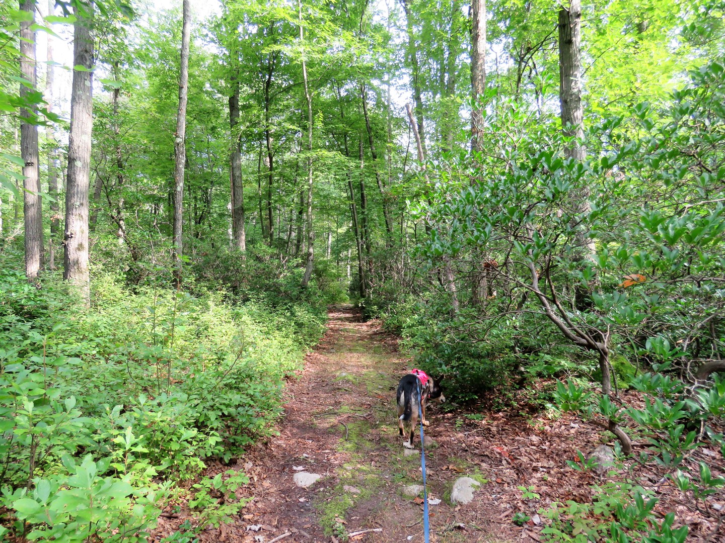
| The trail sometimes widens then narrows again but there was always a trail that appears to be maintained. |
 |
| Lake Denmark |
 |
| Coming up on a pond on the right ... |
 |
| ... with one tree that already has fall colors. |
 |
| Back over to the left, Lake Denmark. |
 |
| I thought this was going to be the end of the trail but ... |
 |
| ... it opened right back up just beyond those overgrown shrubs. |
 |
| This was not the end either as the trail went right around to the left of the padlocked gate. No signs saying we couldn't so we continued on. |
 |
| You can tell mountain bikes use this trail but we never ran into anyone else. |
 |
| Coming up on where the Trailforks app shows the trail turning to Lake Denmark Road thinking we would either have to road walk to the next section or turn back but ... |
 |
| ... the trail continued on ... |
 |
| ... and ran right into the next section. This is where the Trailforks app was tremendously helpful. Which way to go? In this case it was left and I would not have know that without the app. We encountered several forks where it was not clear which way to go but I could follow the app. |
 |
| The trail passes between two swamps full of wildlife. |
 |
| The ducks that took off are in there somewhere. |
 |
| Green Heron |
 |
| There were some wet spots but we were able to get around all of them. |
 |
| The trail does eventually end in overgrowth and blow downs. That is because people's yards are straight ahead so a side trail veers right a short distance to Valley Road, which is a dead end residential street. |
 |
| Left on Valley Road .... |
 |
| .... all the way to the end where the trail continues into the woods. |
 |
| At Egbert's Lake the trail continues to the left of the lake but we turned right to circle around the lake. |
 |
| Tufted Titmouse |
 |
| The other end of Egbert's Lake |
 |
| Coming out in the parking lot, turn left to return on the rail trail or turn right ... |
 |
| For a little road walk to Split Rock Overlook Trail shown in black. |
 |
| Passing an old outhouse on the left. |
 |
| A left on Green Pond Road where there is mowed grass to walk on well away from the busy road. |
 |
| You can even stay on the safe side of the guardrail following mountain bike tracks. |
 |
| A left on the first street, Longview Road ... |
 |
| ... then keep right following residential roads to ... |
 |
| ... the trail entering the woods on the right. |
 |
| Lots of evidence of past mining. |
 |
| Piles of mine tailings everywhere. |
 |
| And .... |
 |
| ... balloon #45 of the year. |
 |
| There is a steep, rocky eroded section ... |
 |
| ... before the trail levels out ... |
 |
| ... and becomes a grassy woods road ... |
 |
| ... just before the right turn to the overlook. We encountered one mountain biker and a couple with two dogs coming up on the overlook, the only people I saw the entire hike. |
 |
| Heading back down. |
 |
| Coming back out into the residential road walk |
 |
| Back into Egbert's Lake Park |
 |
| Straight through the parking lot the rail trail starts to the right of the kiosk but ... |
 |
| ... we headed left on a trail along the lake ... |
 |
| ... just in time to see a great blue heron fly in ... |
 |
| ... for lunch. |
 |
| A steep connector path brought us back up to the rail trail when the trail along the lake ended. |
 |
| One more look at Egbert's Pond before heading back. |
 |
| Yay! My car was still there. I was kind of nervous about it not knowing if I should have parked there. Not that there is any love lost with this car but we did need a ride home. |
 |
| A historical marker near where I parked. |
 |
| Lake Denmark from the boat ramp. |