

ABOUT THE PARK:
Franklin Parker Preserve - New Jersey Conservation Foundation
Batona Trail - NJ Department of Environmental Protection
DIRECTIONS:
GPS Coordinates 39.81384, -74.54757
 |
| Franklin Parker Preserve Parking Lot |
TRAIL MAP:
Batona Trail Reroute Map Franklin Parker Preserve - New Jersey Conservation Foundation
HIKE DISTANCE: 10 miles
THE HIKE:
Brodie and I were filling in a section of the Batona Trail that Shawnee and I never completed. Shawnee had hiked the northern part from Pakim Pond into Franklin Parker Preserve on 3/13/15 and the southern part from Apple Pie Hill to Chatsworth Lake on 3/19/17.
 |
| First we crossed Route 532 from the parking lot to Chatsworth Lake. |
 |
| Chatsworth Lake |
 |
| There is an unmarked path that we followed. |


 |
| At times the path is wide. |
 |
| Other times overgrown but it opens back up. |
 |
| A right on top of a berm brought us to ... |
 |
| ... another view of Chatsworth Lake. |

 |
| Heading back the other way on the berm with a creek down below to the right. |
 |
| Coming up on Route 532 where I figured we could turn right to cross over the creek then right on a sand road. |
 |
| Crossing over the creek on Route 532. |
 |
| I was correct about the sand road on the other side, however ... |
 |
| Ugh. I knew there were no signs at the other end of this sand road since I had been there previously so assuming there were still no signs I would take that on the return route but for now, not one to ignore no trespassing signs, I continued on ... |
 |
| ... a short distance to the next path. |
 |
| This path was clear all the way although it was taking us out of our way. What's a few more miles? |
 |
| Had we not gone this way, I would not have found balloon #15 of the year. |

 |
| And what have we over to the left? |
 |
| Nine more balloons. |


 |
| A bit farther along ... |
 |
| Balloon #25 of the year, 11 total for Franklin Parker Preserve on this hike, the most ever for one hike. |
 |
| This path ends at Russ Anderson Road where the Batona Trail crosses over. |
 |
| A right on the Batona Trail and now retracing a section I had already hiked with Shawnee. |


 |
| There are bypasses around the flooded sections and Brodie was happy to take them. |

 |
| This bypass was also flooded. |
 |
| But we made our way around. |

 |
| At mile marker 38 is where the other end of that sand road is that leads to Route 532 in abut a mile versus the 3 mile detour we took. No signs saying no trespassing so will definitely take that on the way back. For now ... |
 |
| ... we pick up where Shawnee and I left off last year. |

 |
| Cranberry Bog |

 |
| The berms around the cranberry bogs are very scenic. |


 |
| Coming up on Main Street. |

 |
| Immediately after crossing, a small bridge. |

 |
| Brodie loves these bridges. |
 |
| More scenic cranberry bogs. |


 |
| At a bench the trail turns left over a bridge. |
 |
| A helmet on the ground totally freaked Brodie out. |

 |
| There were some soggy sections with no bypasses where we ended up getting our feet and paws wet. |


 |
| And here we are at the turnaround point meeting up with the other section Shawnee and I had hiked in 2015. |
 |
| Heading back. |

 |
| Back over the bridge to the cranberry bog ... |

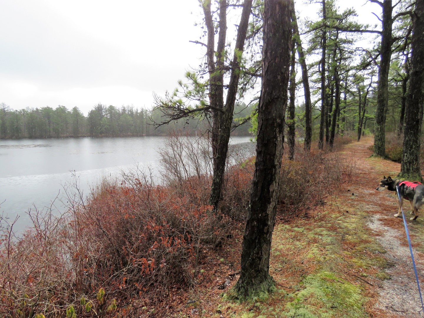 |
| ... just in time for it to start raining. |
 |
| The rain had stopped by the time we reached the Main Street crossover. |


 |
| Back at the bridge ... |

 |
| ... and mile marker 38 where we turned left on the sand road leaving the Batona Trail. |


 |
| At the end of the sand road at Route 532 where the no trespass signs are, a couple and their dog entering - only people I saw the entire hike. |
 |
| A left on Route 532 a short distance to the parking lot on the right at the bend ahead. |
 |
| Some historical signs along the way. |
 |
| Back at the parking lot. |
 |
| It was a good morning of hiking even if he did get rained on. |