ABOUT THE PARK:
Columbia Trail - Morris County Parks
DIRECTIONS:
Bartley Road Parking GPS Coordinates 40.81665, -74.72535
 |
| Bartley Road Parking at the eastern end of the Columbia Trail |
The Bartley Road parking is on a very busy street. A better choice would have been just a short distance along the Columbia Trail:
Fisherman Access Parking GPS Coordinates 40.81445, -74.72876
 |
| Fisherman access parking (that is what the sign says on Bartley Road) which is off of a gravel road that crosses the Columbia Trail. |
TRAIL MAP:
The Columbia Trail - State of New Jersey
Columbia Trail - Morris County Parks (scroll down to Columbia Trail then click on the "trail map" tab)
HIKE DISTANCE: 8.2 miles (4.1 miles each way)
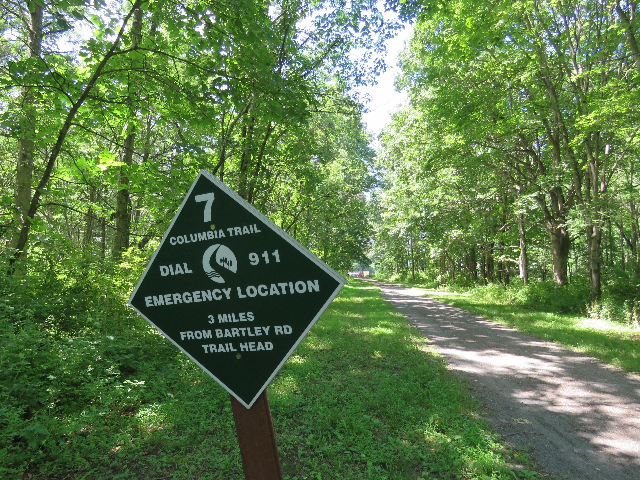
THE HIKE:
 |
| Because parking was on such a busy street, I had to move all of the contraptions on to the trail before bringing the dogs out. This is where a biker drove by and identified himself as a blog follower. Always so cool! |
 |
| Finally all saddled up and ready to go. Al the poodle joined us today. |
 |
| If for no other reason, the stroller comes in very handy to carry stuff. |
 |
| In just a short distance passing by the parking lot where it would have been easier and safer to get everyone and everything set up. |
 |
| Shawnee was not doing well in the wheelchair at all so within the first 3/4 of a mile, it was the stroller for her. I think we need to retire the wheelchair and just stick with the stroller from here on out. |
 |
| Stashing the wheelchair so I don't need to lug it along and can pick it up on the way back. |
 |
| The stroller rolls very easily and smoothly on this fine crushed gravel. |
 |
| What Shawnee sees. |
 |
| An overgrown Patriot's Path joins in from the left. |
 |
| Another stroller with children who thought it was very neat to see a dog
in a stroller. (Photo taken and posted on blog with dad's permission.) |
 |
| Al seemed to be getting tired and Shawnee did not mind him joining her in the stroller. |
 |
| To the right, the Gillette Trail which leads to a parking area and Schooley's Mountain County Park across the road. |
 |
| The Gillette Trail leaves to the left ... |
 |
| ... but sadly, looks like it has not been maintained and is very overgrown. |
 |
| Just before the end of this section in Long Valley, the trail passes behind some not so attractive places... |
 |
| ... to a fence which forces a detour to the left ... |
 |
| ... around a development. |
 |
| I wasn't quite sure what this was at first. |
 |
| But a distance ahead is a kiosk indicating it is Mill Pond Park. |
 |
| Long Valley |
 |
| The end of this section in Long Valley at Route 517. Across the street is parking for the next section. |
 |
| Heading back and checking out Mill Pond Park. |
 |
| Just a short distance in on the Mill Pond Trail... |
 |
| ... and we could go no farther. |
 |
| Nice place for a break though. |
 |
| Continuing on to the Frying Pan Tree Trail on the right. |
 |
| There is a place to park bikes since they are not allowed so I parked the stroller, left the dogs for a sec and ran in for a look. |
 |
| Nice views of the South Branch Raritan River right off the trail. |
 |
| Had to run back to the abandoned dogs but these trails are definitely worth checking out. |
 |
| Heading back. |
 |
| Running into our friends again. |
 |
| Al wanted to walk for a bit. |
 |
| But decided riding was more fun. |
 |
| Retrieving the wheelchair stashed off to the left. |
 |
| Back at the parking area. |
 |
| All loaded up, which takes forever with breaking down the stroller. |