ABOUT THE PARK:
Kittatinny Valley State Park - NJ Department of Environmental Protection (scroll down to Paulinskill Valley Rail Trail)
DIRECTIONS:
GPS Coordinates 40.93552, -75.07082
 |
| Parking on Bugler Road for about 2-3 card across street from trail entrance which is to the right in this picture. |
TRAIL MAP:
HIKE DISTANCE: 8.2 miles (4.1 miles each way)
THE HIKE:
 |
| The start of this hike would have been very confusing had I not happened across MetroTrails' writeup beforehand. There are no signs at all except for private property signs and a silver gate. I don't know if it is OK to access the trail this way or not, but it is the only way to get there. |
 |
| A rocky start. |
 |
| A short distance in, the chunky gravels ends and the official Paulinskill Valley Trail starts. |
 |
| The trail is to the left; to the right is a private drive that is a continuation from the entrance. |
 |
| That is frost over there in the field - the first of the season and it was cold at 35 degrees! |
 |
| This is the perfect type of trail for the wheelchair. |
 |
| This would be my attempt at photographing a bear that crossed the trail about 50 feet ahead of us from left to right but I missed. She did not seem to notice us and was moving along as through she had a destination in mind so I waited a minute then proceeded on making noise and singing, which will send anyone running. Never saw the bear again. |
 |
| The trail is a little narrow in places but widens up after reaching ... |
 |
| Hainesburg Junction |
 |
| Ruins in the woods at the junction. |
 |
| Now the trail widens considerably. |
 |
| Paulins Kill |
 |
| Completed in 1910, it was the largest reinforced concrete structure in the world at the time. |
 |
| Pictures cannot capture how massive this structure is. |
 |
| Pictures do, however, capture the graffiti :( |
 |
| A side trail by the viaduct down to the Paulins Kill. |
 |
| The trail continues on a short distance parallel to Station Road. |
 |
| Then it is a short (maybe 1/4 mile) road walk on Station Road. As we were approaching those young men picking up litter, I picked up a few pieces and deposited it in their bag in passing. Turns out this is what they were a part of... |
 |
| Just when Station Road swings left over the bridge, bear right back on to the Paulinskill Valley Trail. |
 |
| There is supposed to be parking here and there is ample room for several cars but signs all along that section say permit parking only? |
 |
| The Paulinskill Trail is part of the Liberty Water Gap Trail. |
 |
| Eighty eight miles to Jersey City. |
 |
| Following along the Paulins Kill. |
 |
| Coming up on a clearing... |
 |
| ... with views of the Kittatinny Ridge to the left. |
 |
| The only bridge we crossed on this hike. |
 |
| The trail follows along a residential road briefly. |
 |
| Farm animals on the left. |
 |
| More of the Knowlton cleanup crew. |
 |
| Lots to sniff along here. |
 |
| Crossing West Crisman Road. |
 |
| This would be where a fox (a gray fox, I believe) disappeared as we went by. |
 |
| Eighty seven miles to Jersey City. |
 |
| Crazy loud starlings (with a few red-winged blackbirds thrown in) flew over... |
 |
| ... landing in trees... |
 |
| ... then in a split second it was quite once more and they were all gone. |
 |
| Canada geese resting in a field before resuming their fall migration. |
 |
| This is a very quiet stretch of the trail. Only one bike other than these two and one walker passed us. |
 |
| Kittinny Ridge with Mount Tammany just off the picture to the left. |
 |
| Our turn around point. |
 |
| Mount Tammany |
 |
| In that clearing we crossed earlier, way over in the field, could it be? |
 |
| Yes it is, a balloon for my collection. |
 |
| Help. |
 |
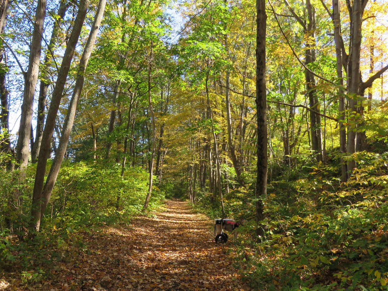
| Oh my. This happens sometimes. |
 |
| Free to move again. |
 |
| More sniffs off of the trail. |
 |
| It looks like these two planes are tethered together. |
 |
| Coming back up on Station Road. |
 |
| Back at the Paulinskill Viaduct. |
 |
| I had noticed a trail along the Paulins Kill from the viaduct before so decided to take that. |
 |
| It does indeed meet back up with the Paulinskill Valley Trail. This is looking back at that trail on the left where we came up to meet the Paulinskill Valley Trail. |
 |
| Hainesburg Junction - keep left, right is private property. |
 |
| The trail narrows after Hainesburg Junction but is still very passable. |
 |
| Back at Brugler Road. |
 |
| The Liberty Water Gap Trail continues along Brugler Road and eventually crosses a pedestrian bridge over the Delaware River. |


Very nice pictures as always. Looks like a nice trail. Always glad to see Shawnee on the trail with you. Thanks for sharing! Joanne from NJ
ReplyDeleteI stopped by to say the same thing lol, beautiful pictures, good to see Shawnee enjoying the day. Thank you.
ReplyDeleteThanks!
Delete