ABOUT THE PARK: New York State Office of Parks, Recreation and Historic Preservation
DIRECTIONS:
GPS Coordinates: 41.185122 -74.07385
TRAIL MAP:
Southern Harriman Bear Mountain Trails Map 118 - New York New Jersey Trail Conference
HIKE DISTANCE: 7.9 miles
THE HIKE:
 |
| Start on the red-lin-on-white Tuxedo-Mt. Ivy Trail at the barrier and keep right into the power cut. |
 |
| A common starling ... |
 |
| ... singing ... |
 |
| ... in the power cut. |
 |
| Uphill into the power cut then left ... |
 |
| ... into the woods. (There is a shortcut path through the power cut directly into woods where the red-line-on-white T-MI Trail actually keeps going, loops around to the left the other side of the power cut, then turns right into the woods where the shortcut path comes out.) |
 |
| The Hudson River at the Eagle Rock overlook. |
 |
| Continuing past the Red Arrow Trail which was our return route. |
 |
| Rhododendron tunnel. |
 |
| Squirrel Swamp |
 |
| Green Swamp |
 |
| Right on the white-blazed Breakneck Mountain Trail. |
 |
| Three deer slowly passed up ahead unaware that we were watching them. |
 |
| Watching the deer. Even in her younger days she knew chasing deer (or any wildlife) was strictly forbidden and she never did it. |
 |
| Hiking refreshments. |
 |
| What?!?!?!? |
 |
| THAT is not chicken jerky. |
 |
| This is. She loves those other bones at home but it's only chicken jerky she wants on hikes. |
 |
| Near the end of the white-blazed Breakneck Mountain Trail we took a side trail down to Breakneck Pond. I almost turned around because I could hear sawing, hammering, people talking at the camp at the pond but then I saw this sign that said "hiker foot traffic welcome" so on we went turning left on a foot path at the pond and avoiding the construction area. |
 |
| Breakneck Pond |
 |
| Although it looked like the trail continued on it eventually became littered with huge blow downs so we turned back. |
 |
| Back up on the Breakneck Mountain Trail. |
 |
| At the yellow Suffern-Bear Mountain Trail all you see are blazes to turn left up the rocks. You actually want to keep straight to the right of the rocks although no blazes are visible at the intersection. |
 |
| Coming up on Third Reservoir. |
 |
| This is where we would turn left on the Red Arrow Trail but we continued on yellow for about .15 mile to... |
 |
| ... views. |
 |
| Hudson River in the distance. |
 |
| Now back to the Red Arrow Trail. |
 |
| Then retracing on the Tuxedo-Mount Ivy Trail. |
 |
| Passing by the first overlook again. |
 |
| Coming out of the woods and taking the shortcut straight ahead to the other side of the power cut... |
 |
| ... to continue right on the Tuxedo-Mount Ivy Trail through the power cut. |
 |
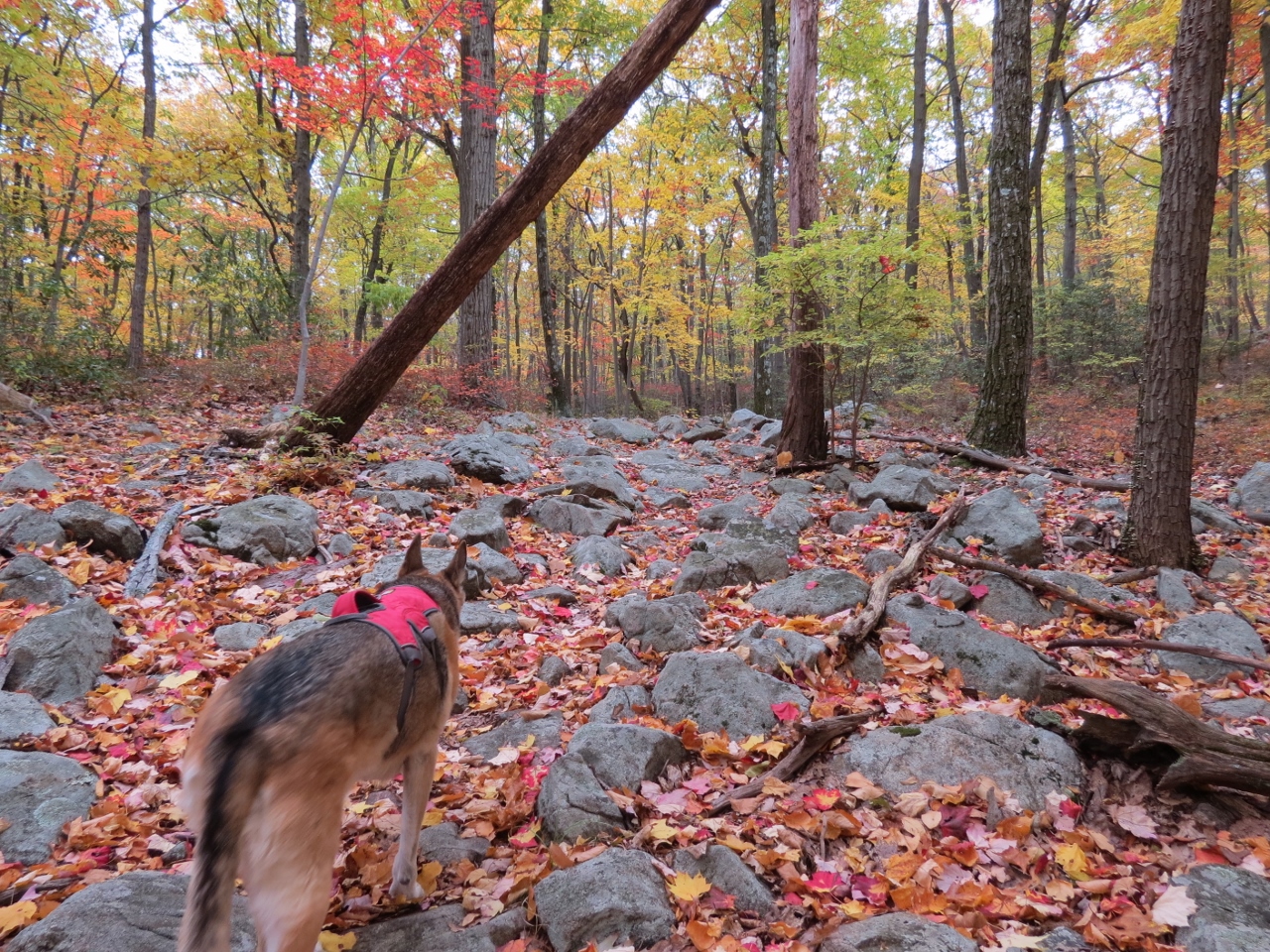
| Gorgeous foliage ... |
 |
| ... just before the parking lot. |