Saturday, April 28, 2012

Harriman State Park, NY: Lake Skannatati - Pine Swamp - Green Pond - Stahahe High Peak


ABOUT THE PARK:  Harriman State Park

DIRECTIONS:
GPS 41.24283, -74.10238

View Larger Map

TRAIL MAP:  NY/NJ Trail Conference Northern Harriman Bear Mountain Trails Map 119

PEAK BAGGING:
Pine Swamp Mountain - Peakery.com

HIKE DISTANCES:
Lake Skannatati - Pine Swamp Mountain - Pine Swamp:  3.2 miles
Lake Skannatati - Pine Swamp Mountain - Times Square - Lichen Trail:  8 miles
Lake Skannatati - Pine Swamp -  Green Pond - Stahahe High Peak:  12 miles

THE HIKE:
Lake Skannatati from the parking lot.
Lake Skannatati and Lake Kanawauke from Pine Swamp Mountain.
Red Triangle on White Arden-Surebridge Trail
Pine Swamp off of the yellow-blazed Dunning Trail
Yellow-blazed Dunning Trail
Aqua-blazed Long Path
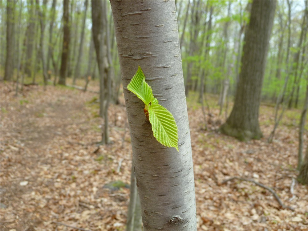
Lily of the Valley Bush
Times Square
Turkey Vulture from the Lichen Trail
Island Pond from the Lichen Trail
Green Pond from the yellow-blazed Dunning Trail
Just before Island Pond Road veers right, turn right on an unmaintained trail to Stahahe High Peak.
The unmaintained trail is fairly well-defined and easy to follow and is blazed in blue and masking tape
Coming up on the views at Stahahe High Peak.
Lake Stahahe from Stahahe High Peak
The Catskills from the Ramapo-Dunderberg Trail
High up on rock slabs on the Ramapo-Dunderberg Trail.
Lots of views from the Ramapo-Dunderberg Trail.
The aqua-blazed Long Path crosses a pretty creek that flows from Pine Swamp to Lake Skannatati.
Lake Skannatati from the Long Path.

HIKE SUMMARY:
[ 0.00]    Red triangle on white Arden-Surebridge Trail from Lake Skannatati parking
[ 0.25]    Keep straight when Red Cross Trail goes right
[ 1.25]    Rock hop creek then turn left on yellow Dunning Trail
[ 1.90]    Turn right when aqua Long Path joins in from left
[ 1.95]    Turn right on aqua Long Path as yellow leaves to the left
[ 2.65]    Straight on aqua Long Path at Times Square
[ 3.20]    Left on blue Lichen Trail
[ 3.65]    Right on red dot on white Ramapo Dunderberg
[ 4.10]    Right on yellow Dunning Trail
[ 4.45]    Left when White Bar joins yellow Dunning Trail from the right
[ 4.70]    Turn right on yellow when yellow Dunning Trail leaves White Bar Trail
[ 5.20]    Left at Boston Mine
[ 5.35]    Right on yellow Dunning Trail when it leaves woods road then white Nurian crosses over
[ 5.75]    Right on white Nurian Trail when yellow Dunning Trail ends
[ 6.00]    Keep straight on white Nurian when yellow Dunning crosses over
[ 6.05]    Turn right on Island Pond Road
[ 6.25]    Turn right on unmaintained trail to Stahahe High Peak
[ 6.75]    Stahahe High Peak view; retrace
[ 7.25]    Right on Island Pond Road
[ 7.75]    Sharp left on White Bar Trail before paved road
[ 7.95]    Right on white-blazed Nurian when White Bar and Nurian go straight
[ 8.30]    Left on red dot on white Ramapo Dunderberg when white Nurian ends
[ 9.35]    Right on yellow Dunning Trail
[10.75]    Aqua Long Path joins in from left
[10.80]    Right on aqua Long Path when yellow Dunning leaves to the left
[12.00]    Lake Skannatati parking

Saturday, April 21, 2012

Farny State Park, NJ - Splitrock Reservoir North

Four Birds Trail

ABOUT THE PARK: 
Farny State Park - New Jersey Department of Environmental Protection
Pequannock Watershed - Newark Watershed Conservation and Development Corporation

DIRECTIONS:
GPS Coordinates 40.997962, -74.457232

View Larger Map

Parking for 4-5 cars to the left just outside the entrance to Camp Winnebago.

PEQUANNOCK WATERSHED HIKING PERMIT:
It is not clear to me whether a Pequannock Watershed hiking permit is required for this hike.  No signs indicate when you are leaving Farny State Park and entering watershed property except on the return route about half a mile from the parking area on the woods road.  I have a permit so it didn't matter but if you don't have a permit, you might want to check first.  Click here for information on obtaining permits.
This sign is not visible until the end of the hike, then only if you turn around.

TRAIL MAP:
Jersey Highlands Trail Map 125 - NY/NJ Trail Conference

HIKE DISTANCE:  8.6 miles

THE HIKE:
Start on the yellow-blazed Timberbrook Trail from the parking lot.  The parking and first 3/4 mile of this hike are the same as last week's hike.  It is interesting to note how the spring foliage has changed in exactly one week, almost to the minute.
April 14, 2012                        compared to                                  April 21, 2012
Another hiker on the Timberbrook Trail.

When the yellow Timberbrook Trail ends, turn right on the white Four Birds Trail. A short distance to the left is the swamp part of Timberbrook Pond:
April 14, 2012                        compared to                                  April 21, 2012
Heading south on the Four Birds Trail.
The trail goes through an area of old stone walls, remnants of farming.
Although you can continue straight on the white trail, I turned off on an unmarked woods road...
... which led to a red-blazed trail - I suppose that is OK as long as you are not on a horse.
The red trail meets back up with the white-blazed Four Birds Trail.
The orange diamond trail with very faded blazes loops around the northern end of Splitrock Reservoir.
Splitrock Reservoir
A startled Great Blue Heron taking off....
... and keeping a close eye on us from afar.
Canada geese must be nesting here as they were exceptionally unhappy about our presence.
A beaver lodge.
Beaver lodge construction materials.
How relaxing does this look?  I saw something on an island in the reservoir but could not make out what it was until I got home and blew up the picture.  Now I realize this was the nice man in the kayak I later ran into along the banks of the reservoir and had a conversation with.
A blue-blazed trail leads up to Indian Cliffs.
Climbing up to Indian Cliffs.
Indian Cliffs.
View of Splitrock Reservoir from Indian Cliffs.
View of Misty Pond from Indian Cliffs.
Misty Pond at ground level.
Woods road back to the parking lot.
In honor of Earth Day (4/22/12) non-hiking dog Sydney poses with the litter we hauled out.  Sadly, there was much more litter there but at least this much is no more.

HIKE SUMMARY:
[  0.00]  Take the yellow-blazed Timberbrook Trail from the parking lot
[  0.45]  Cross over woods road
[  0.75]  Yellow trail ends at the white-blazed Four Birds Trail, turn right and follow white
[  1.05]  Cross woods road
[  1.55]  Rock hop over creek
[  2.30]  Turn right on unmarked woods road, then short distance ahead left on less defined woods road when more defined woods road goes right (or stay on white-blazed trail and pick up from 2.95 mile point)
[  2.55]  Turn left on red-blazed trail (Horseback Riders Will Be Prosecuted sign on right)
[  2.85]  Triple red blaze does not indicate end of trail rather that you can go either way around tree, continue on red
[  2.95]  Turn right as red joins in on white-blazed Four Birds Trail
[  3.00]  Keep straight on white (footpath) as red leaves left on woods road that crosses over
[  3.90]  At triple orange blaze on right, turn left on orange (blazes faded and sometimes hard to see)
[  3.95]  Orange comes out on woods road and is easier to follow
[  4.05]  When orange turns left, turn right on unmarked to views of Splitrock Reservoir; retrace
[  4.15]  Continue on orange after views
[  4.50]  Rock hop over swamp
[  4.70]  Watch for left turn through washed out, eroded area that leads to a campsite - if you to up and short hill and come out on a woods road, you missed the turn - orange hugs the reservoir so keep right and ignore woods road branching off to the left
[  5.30]  Orange trail veers left away from reservoir and crosses woods road
[  5.40]  Turn left on orange as blue joins in from right
[  5.45]  Left on blue when orange leaves to the right
[  5.65]  Indian Cliffs
[  5.90]  Cross woods road
[  6.10]  Views of Misty Pond
[  6.25]  Blue ends; turn right on the white-blazed Four Birds Trail
[  6.55]  Cross woods road (this was woods road taken to red trail earlier)
[  7.30]  Rock hop over creek
[  7.80]  Turn left on woods road (or stay on white to left on yellow which is a prettier way and 1/4 mile longer - woods road has lots of litter and is not very attractive)
[  8.60]  Back at parking lot