ABOUT THE PARK:Appalachian Trail Pennsylvania - The Appalachian Trail Conservancy
DIRECTIONS:GPS Coordinates 40.86067, -75.29255
 |
| Wind Gap Parking |
HIKE DISTANCE: 14.3 miles
THE HIKE:
 |
| The Appalachian Trail comes in from the south through the parking lot and continues up steps from about the mid point of the parking lot. |
 |
| The trail ascends steeply at time but once at the top, other than minor ups and downs, that is the bulk of the ascent. |
 |
| There were some partial views along the way but it was hazy early in the morning so we'd check back at the end of the hike on our way down. |
 |
| The trail levels out at the top and then follows the ridge. |
 |
| The trail surface alternates between semi-rocky ... |
 |
| ... very rocky ... |
 |
| ... and smooth but it is mostly rocky. |
 |
| Crossing the private Blue Mountain Water Company road. According to my ancient 1998 Appalachian Trail Guide, there should be a view here but there is not. We went a few steps in either direction and the best I could find was ... |
 |
| ... a short distance to the left. |
 |
| When I hiked Wolf Rocks from the opposite direction back in 2012 this bypass trail did not exist so I was not aware it was there. I decided to go on to Wolf Rocks then loop back around on the bypass trail. |
 |
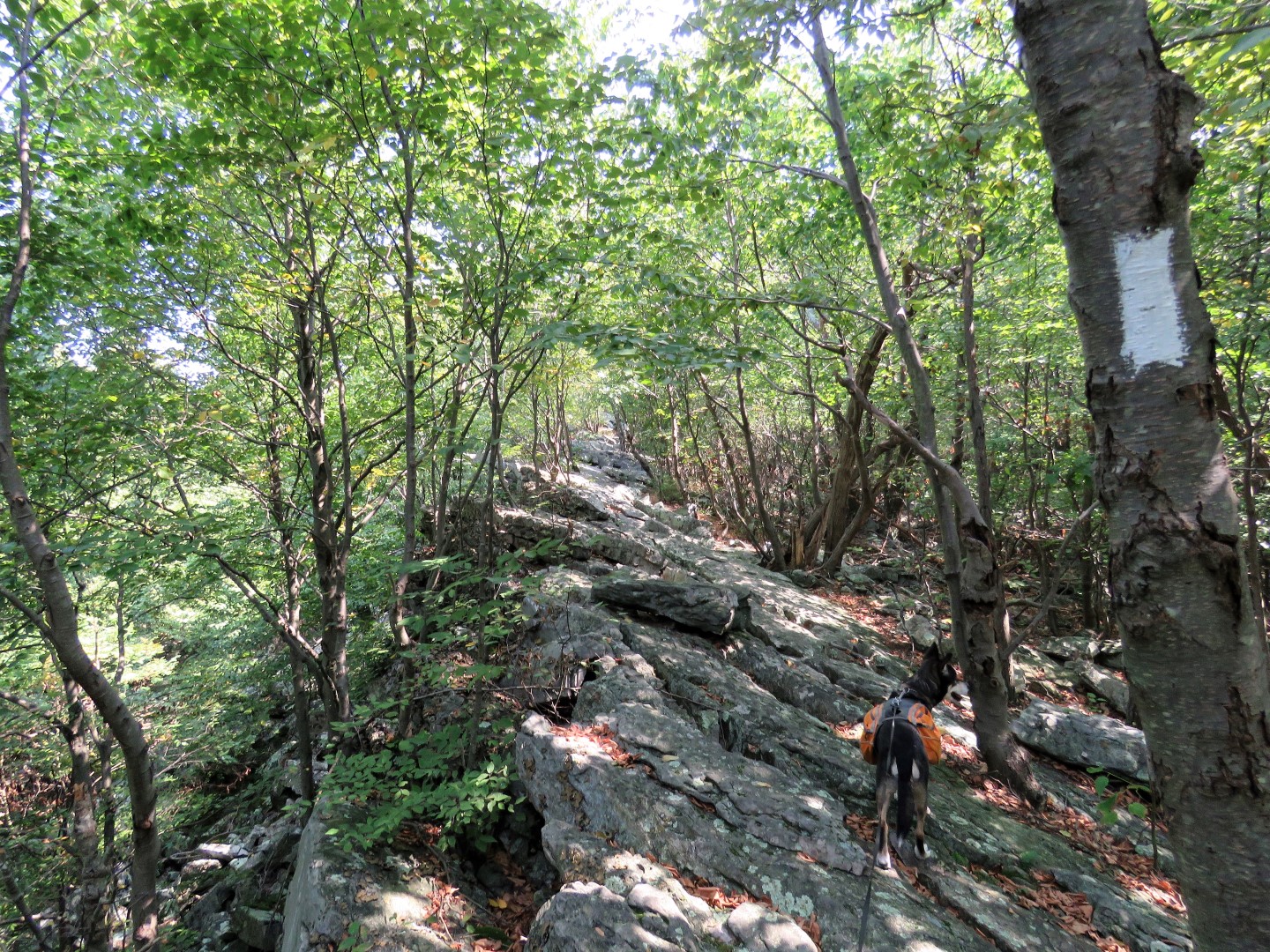
| The rocks start getting bigger and soon it's all boulders. |
 |
| Hiking along Wolf Rocks. |
 |
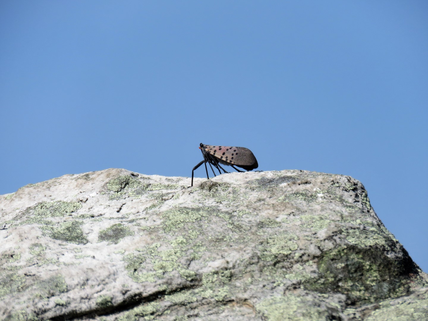
| I had not seen any of the spotted lanternflies in the woods but on my, were they enjoying the Wolf Rocks views. They were everywhere on the cliffs. |
 |
| After a scramble down from Wolf Rocks, continuing north on the AT, it's a short distance to the other end of the bypass trail where we turned left. |
 |
| This was the most pleasant, smooth and easy going part of the hike. It was a welcome change after all of those rocks. |
 |
| The bypass trail starts to become a bit more rocky right before joining back up with the AT. |
 |
| At the AT we turned right to head back... |
 |
| ... over all those rocks. |
 |
| Picking up some litter along the way. |
 |
| At the water company road Brodie wanted to turn right. I think he had about had it with all the rocks, too. That would have been a nice, smooth descent back to the parking lot but unfortunately it is not allowed as it goes into posted water company property. |
 |
| Some better partial views on the descent. |
 |
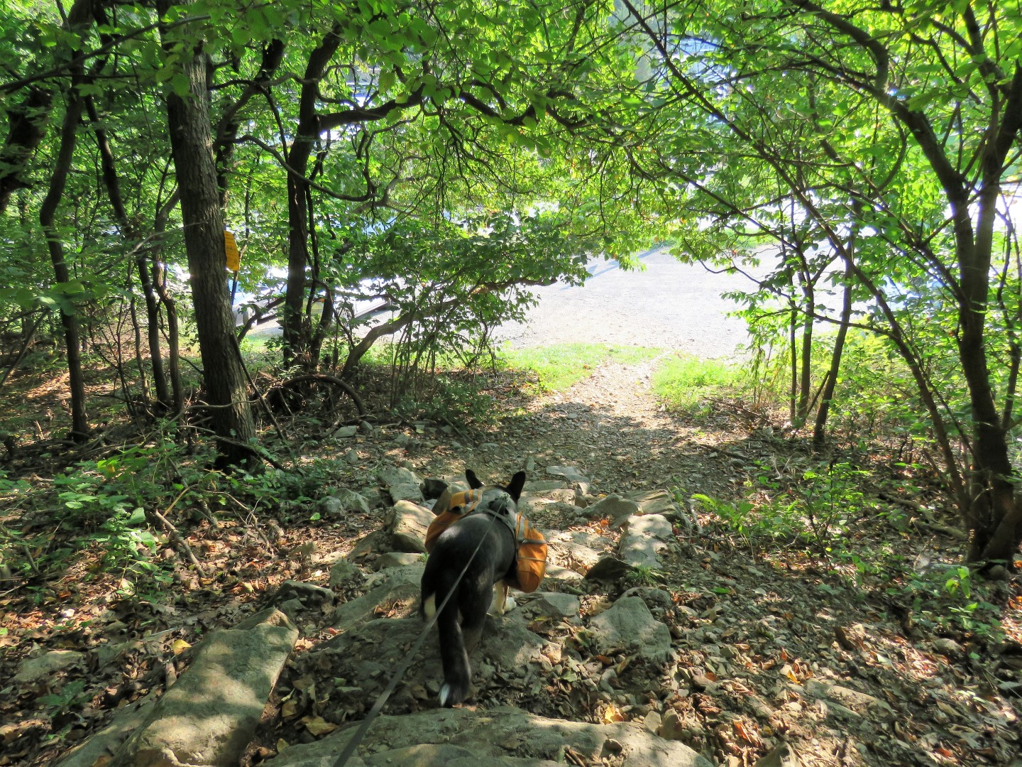
| Coming back out at the parking lot. |