Wednesday, February 24, 2021

Perth Amboy Harbor Walk, NJ

ABOUT THE PARK:  

DIRECTIONS:
GPS Coordinates 40.500701, -74.276635
Public parking lot at the far western end.

TRAIL MAP: 
None

HIKE DISTANCE:  2.8 miles (1.4 miles each way)
 
THE HIKE: 
On a long awaited gorgeous, sunny, 51 degree day in the middle of the week, a long lunch hour was in order. 
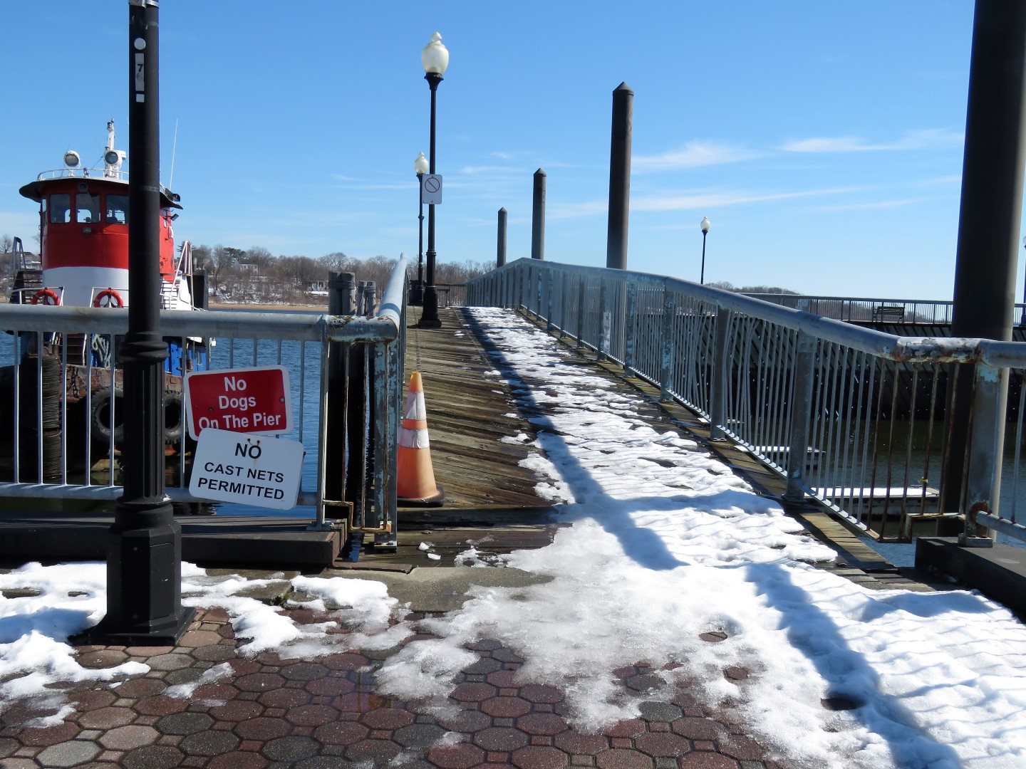
We went out on the first pier where apparently dogs are allowed because there was no sign.  Dogs are not allowed on the other two piers along the way.
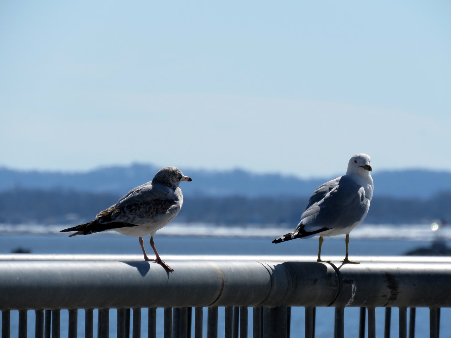
Perth Amboy Wildlife
The walkway splits and we intended to loop back from the left but it turned out to be too icy that way.
The back of a Veterans Memorial.
The would be that Great Beds Lighthouse across the Raritan Bay.
Another possibility to loop a section when the upper level is not icy.
Raritan Yacht Club
No dogs allowed on these piers.
This would be the end where we tried to loop around but ran into ice.
There were some clear steps to the upper level so we gave that a try.
You can see three different levels - the highest where we were and one on either side of the parking lot - some options when everything has melted.
Heading back down.
Back at the parking lot.

Sunday, February 21, 2021

Edwin B. Forsythe National Wildlife Refuge, NJ - Cedar Bonnet Island


ABOUT THE PARK:  
Cedar Bonnet Island - Edwin B. Forsythe National Wildlife Refuge Facebook Page 
Cedar Bonnet Island Environmental Trail - South Jersey Trails  (How I found out about this hike - thanks South Jersey Trails!)

DIRECTIONS: 
GPS Coordinates 39.65718, -74.19371
Room for about 10 cars in a lot right off of Route 72 after crossing over Manahawkin Bay.

TRAIL MAP: 

HIKE DISTANCE: 
Cedar Bonnet Island - 1.5 miles
     hiked together with
Cloverdale Farm County Park - 2 miles
     12 miles/16 minutes away 

THE HIKE: 
As mentioned in the Cloverdale Farm hike, pardon the poor quality iPhone pictures.  Forgot to put the memory card in my good camera.
Head west from the parking lot a short distance along the sidewalk ...
... to the entrance on the left.
The path is all loose gravel which can be somewhat uncomfortable to walk on but where everyplace else is a sloppy, slushy mess and ice and snow, this was all bone dry.
We went left at the first fork and would be returning from the right.
Staying to the left here also for an out-and-back portion to a pavilion.
Heading back.
The bridge we had driven in on in the distance.
Now to the left to complete the loop portion.
Back at the entrance ...
... and a right turn back to the parking lot.