ABOUT THE PARK: DIRECTIONS:
GPS Coordinates 40.75151, -74.61815
 |
| Parking lot at the McVickers Brook Preserve section of Schiff Nature Preserve. |
TRAIL MAP:
HIKE DISTANCE: 10.4 miles
THE HIKE:
Brodie is having to sit out hiking for a while. He came down with Old Dog Vestibular Disease which, in a nutshell, is like having vertigo on crack. My dog before him, Shawnee, had it. When her eyes started rapidly going back and forth, her head tilted, she was smashing into walls and could barely walk, I rushed her to the veterinary emergency hospital thinking she was having a stroke. When Brodie showed the same symptoms I knew it was not an emergency so I just made a regular vet appointment for that day. He just needed something for the nausea. That is about all that can be done for it. Then it is supportive care for 3-4 weeks until it resolves. He is not able to eat out of his bowl so I have to syringe and hand feed him. While I am hiking, here is Brodie at home. (I leave his harness on so I can help him when he is wobbly, although he is already walking pretty well on his own.)
On with the hike...
 |
| It was foggy and spritzy and drizzly so please pardon the horrible pictures. |
 |
| Hopping off for a look at ... |
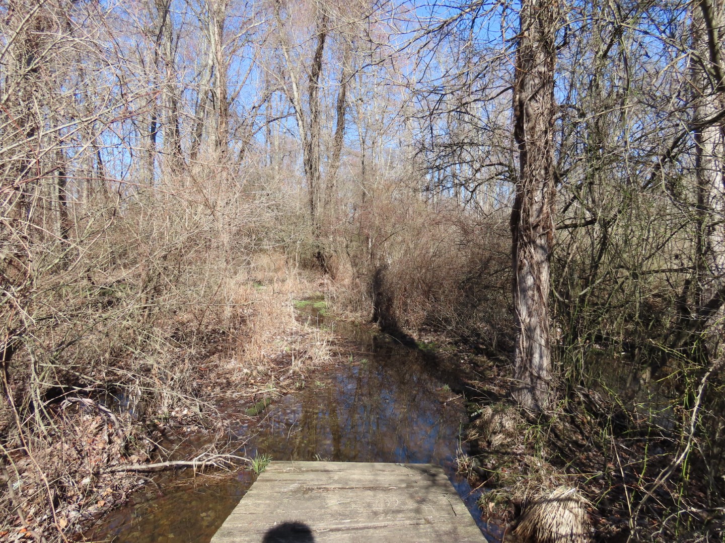
 |
| ... the Conservation Pond that had some loud frog activity going on ... |
 |
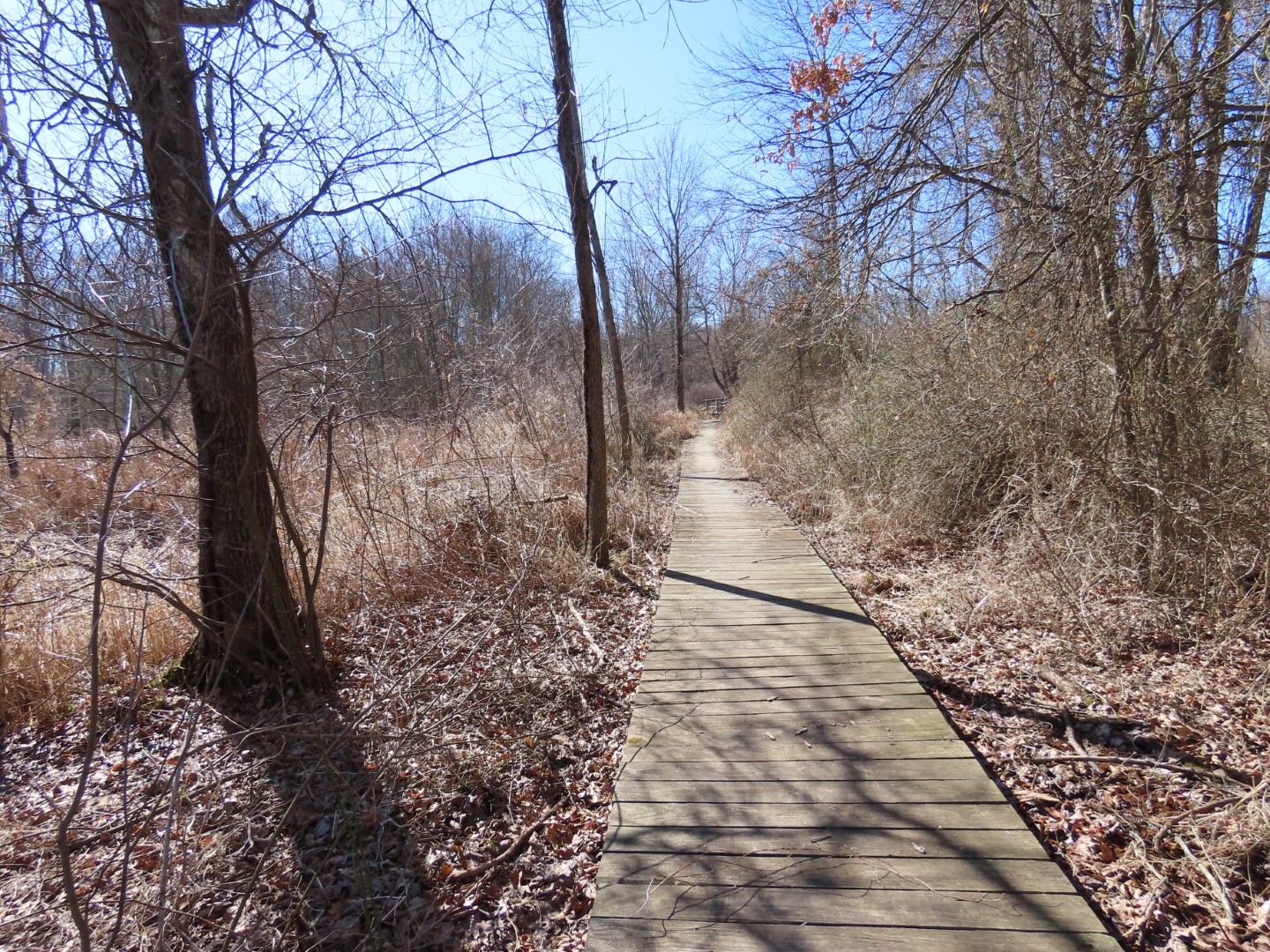
| ... then continuing on the white Franklin Parker Trail. |
 |
| The Gaia app shows a trail to the right when white turns left. There is supposed to be a pond so I turned right. |
 |
| It's not really a trail rather a controlled fire break so it has thick leaf drop and thorny vines throughout. |
 |
| And no pond to be seen. |
 |
| Continuing on white. |
 |
| Seriously? On which planet? |
 |
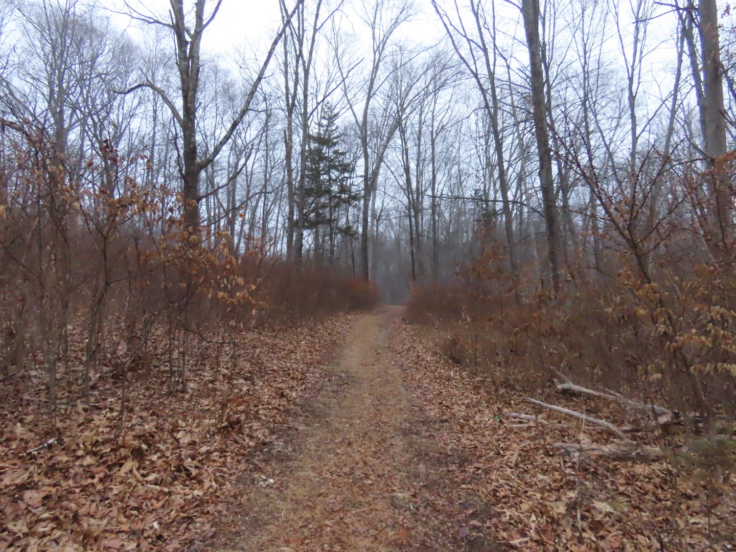
| After white crosses the woods road ahead it becomes a footpath. |
 |
| Right on white leads out of Schiff to the Patriot's Path so I veered left on green. |
 |
| Right on purple. |
 |
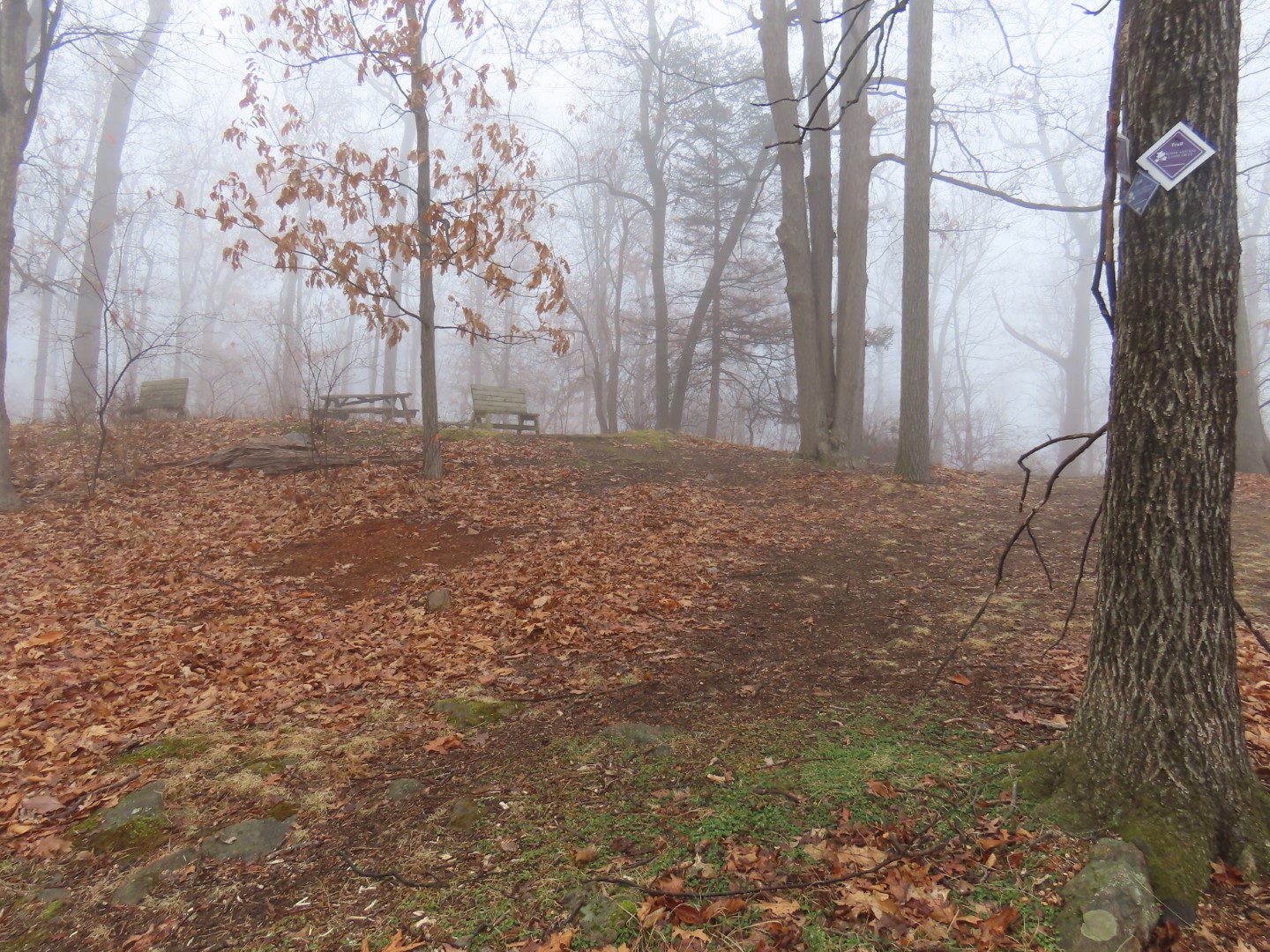
| Coming up on Lookout Point. |
 |
| Nothing to see at Lookout Point today. |
 |
| Taking red down ... |
 |
| ... to the lean-to ... |
 |
| ... then blue the rest of the way down. |
 |
| Blue continues to the left on the other side of Union School House Road ... |
 |
| ... along the North Branch Raritan River. |
 |
| At the guardrail blue crosses back over a level up in the woods but I stayed on the road. The trail ascends and I needed to stay on the road to connect to a separate section of Schiff Nature Preserve. I would be back on the upper level of blue later on. |
 |
| It's only about half of a mile of road walking with very light traffic. |
 |
| Passing by historic Union School which is now a private residence. |
 |
| Crossing the bridge over ... |
 |
| ... North Branch Raritan River. |
 |
| Just before the 35 mph sign ... |
 |
| ... right then to the right along the field. |
 |
| At this pond the trail splits; staying to the right for an out-and back section. |
 |
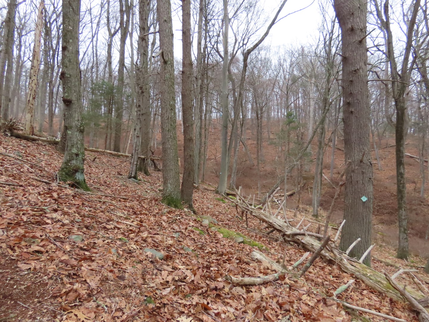
| The trail ascends then at the top it becomes less defined although the markers are there. |
 |
| The trail then switchbacks down steeply. It's going from marker to marker since there really is no trail. |
 |
| At the end ... |
 |
| ... back along the river on the opposite side from where I was before on Union School House Road. |
 |
| Climbing back up. |
 |
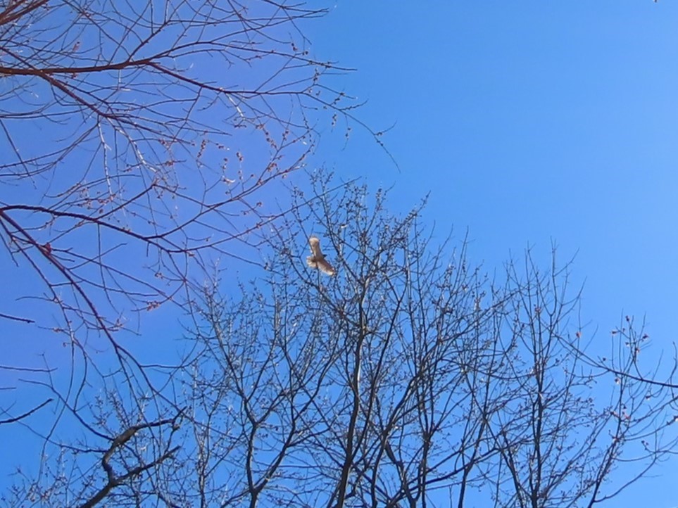
| Eastern Bluebird |
 |
| Just past that pond, keeping right to continue around the field. |
 |
| At Union School House Road the trail continues on the other side but this hill was way too steep so I had to backtrack a bit and go down that driveway on the right. |
 |
| Red-bellied Woodpecker |
 |
| The trail on the other side of the road winds down ... |
 |
| ... then veers left along the river. |
 |
| Well this was a challenge. I am 5'4" and this came to just past my waist. Getting over was not graceful by a long shot but to the best of my knowledge there were no witnesses so it's all good. Just try not to push off on that cut log on the right. It moves. |
 |
| Coming back out on Union School House Road, turning right and retracing the road walk. |
 |
| I was able to see blue blazes just before this 30 mph sign so I climbed up here. |
 |
| Looking back down at the speed limit sign from the blue trail. |
 |
| Turning around and heading south on the blue trail as it ascends higher up away from the road. |
 |
| The trail merges with the park entrance road. |
 |
| Pleasant Valley Lake |
 |
| White-breasted Nuthatch |
 |
| Taking the white trail about half way around Great Meadow. |
 |
| Another Eastern Bluebird |
 |
| Right on red. |
 |
| Right on yellow. |
 |
| Historic Site |
 |
| Back at the pond from the beginning of the hike. |
 |
| Retracing on white all the way back. |