ABOUT THE PARK:
Catskill Forest Preserve - New York State Department of Environmental Conservation
Elm Ridge Wild Forest - New York State Department of Environmental Conservation
Elm Ridge Trail System - Windham Area Recreation Foundation
DIRECTIONS:
GPS Coordinates 42.312664, -74.190430
 |
| Escarpment Trail Trailhead Parking |
TRAIL MAP:
Northeastern Catskill Trails Map #141 - NY/NJ Trail Conference
Elm Ridge Wild Forest Trail Map* - New York Department of Environmental Conservation
Elm Ridge Trail System* - Windham Area Recreation Foundation
* There are new trails not currently shown on these maps.
HIKE DISTANCE: 12 miles
THE HIKE:
 |
| The Escarpment Trail starts directly across Route 23 from the parking lot. |
 |
| I had read where this area can be under 3 feet of water so I assume that is what the construction is all about ... |
 |
| ... this new bridge over ... |
 |
| Windham Kill |
 |
| Some more boardwalks over what would probably be swampy. |
 |
| But today everything was mostly bone dry. |
 |
| We stopped to sign in at the trail register but the door was very hard to get open. |
 |
| I decided to divert to the Gold Mine Trail first since I would probably be too hot and tired to do it at the end of the hike. |
 |
| It's a pretty loop and was a nice warmup before climbing to Windham High Peak. |
 |
| A very old tree. |
 |
| Right on the Escarpment Trail leaving the Gold Mine Trail. |
 |
| There are many more bike trails but we would be hiking more of those later. |
 |
| First up to Windham High Peak. |
 |
| At this intersection the Escarpment Trail continues as foot traffic only. We'd be taking the Elm Ridge Trail from here on the way back. |
 |
| Elm Ridge Shelter on the right. |
 |
| It's like walking through a portal from green into ... |
 |
| ... pines with lots of roots to walk on. |
 |
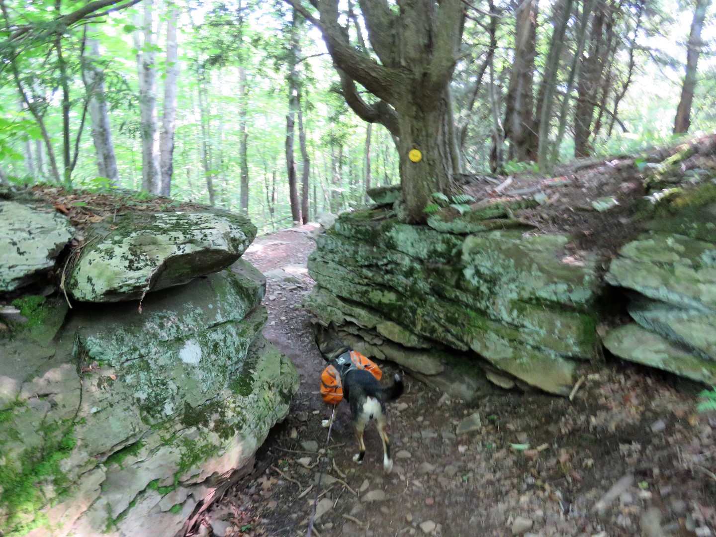
| It gets steeper higher up but there are never any scrambles. |
 |
| Almost at the top, to the right ... |
 |
| ... a view of the Blackhead Range. (Photobombed by a gnat.) |
 |
| A short distance farther on the left ... |
 |
| ... views to the north. |
 |
| A little farther ahead, smack in the middle of the trail, the Windham High Peak benchmark. |
 |
| But you want to keep going downhill a bit to another overlook on the left ... |
 |
| ... of the Hudson Valley. I had been at this overlook with Shawnee in 2011 having come from the opposite direction. |
 |
| The obligatory snack at the overlook. |
 |
| The Hudson was barely visible in the distance on this hazy day. |
 |
| Heading back down the Escarpment Trail the way we came. It's all downhill now. |
 |
| Back at that intersection, we turned left on the yellow Elm Ridge Trail for a short distance... |
 |
| ... then right on the red Mid Mountain Trail. |
 |
| It was very peaceful here. Where the Escarpment Trail was getting crowded with groups of people heading up to the overlooks, I ran into just a few bikers the whole time we were on these biking trails. |
 |
| Definitely for mountain biking. |
 |
| Coming off of Mid Mountain and turning left on blue Black Bear Hideout. |
 |
| Black Bear Hideout apparently turns into Big T which is also blue. |
 |
| Levitate is the trail I wanted so we stayed right on blue but we would be seeing this intersection again in a bit. |
 |
| This is where things got confusing. There were trails here that were not on the map. The sign said Big T was left but blue continued right. Turns out I should have turned right but I turned left to stay on Big T thinking that would be the way. It was not. |
 |
| Sign says Big T but I didn't know until I got all the way down to the bottom that I had been on a new trail called Uphill. (Or maybe I just misinterpreted the signs?) |
 |
| Down at the bottom is where I saw I was not on Big T after all but I recalled seeing a sign for Berm Out previously so instead of retracing, uphill on Berm Out it was. |
 |
| Back to that intersection where I had been previously at the top ... |
 |
| ... and back on the blue Big T Trail. |
 |
| Now back at the intersection where I went wrong we stayed right on blue regardless of what the signs said. |
 |
| Yay, a sign for Levitate. We were definitely back on track. |
 |
| It was the red Levitate Trail on a very gradual downhill all the way back to the Escarpment Trail. |
 |
| Left on the Escarpment Trail. |
 |
| Passing by the trail register which I now could not get open at all, it was completely jammed shut, so I never signed out. |
 |
| Back across Route 23 ... |
 |
| ... to the parking lot. |