

ABOUT THE PARK:
Castle in the Clouds Conservation Area - Lakes Regional Conservation Trust
DIRECTIONS:
GPS Coordinates 43.731891, -71.324704
 |
| Hiker parking just before the entrance. |
TRAIL MAP:
Castle in the Clouds Conservation Area and Red Hill Conservation Area Hiking Trails Map
Powered by Wikiloc
HIKE DISTANCE: 9.8 miles
THE HIKE:
 |
| From the parking lot continue walking in on the paved road. |
 |
| Pass to the left of Shannon Pond. |
 |
| Then left to the orange diamond blazed Mt. Roberts Trail. |

 |
| It starts off nice and smooth. |
 |
| Wild turkeys in the field to the left. |

 |
| Some fall foliage. |
 |
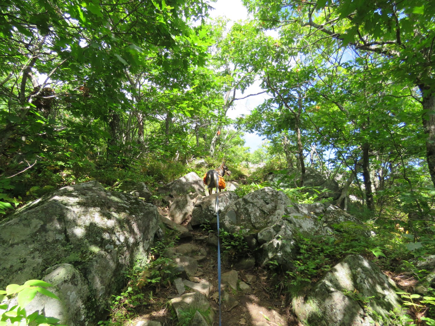
| The trail becomes more rugged, steeper and rocky. |


 |
| Every time you climb up and think you are at the top ... |
 |
| ... the trail keeps going up ... |
 |
| ... to views from higher up. |
 |
| More climbing ... |


 |
| ... more views. |

 |
| More climbing ... |

 |
| ... more views. Two hikers coming up behind us (other than two hikers going the other way, the only others we saw the entire hike). |
 |
| Again more climbing... |
 |
| ... to the best views where the other hikers took our picture and I took theirs. |

 |
| Not all that much more climbing to ... |
 |
| ... the summit of Mount Roberts. |

 |
| The White Mountains in the distance. |
 |
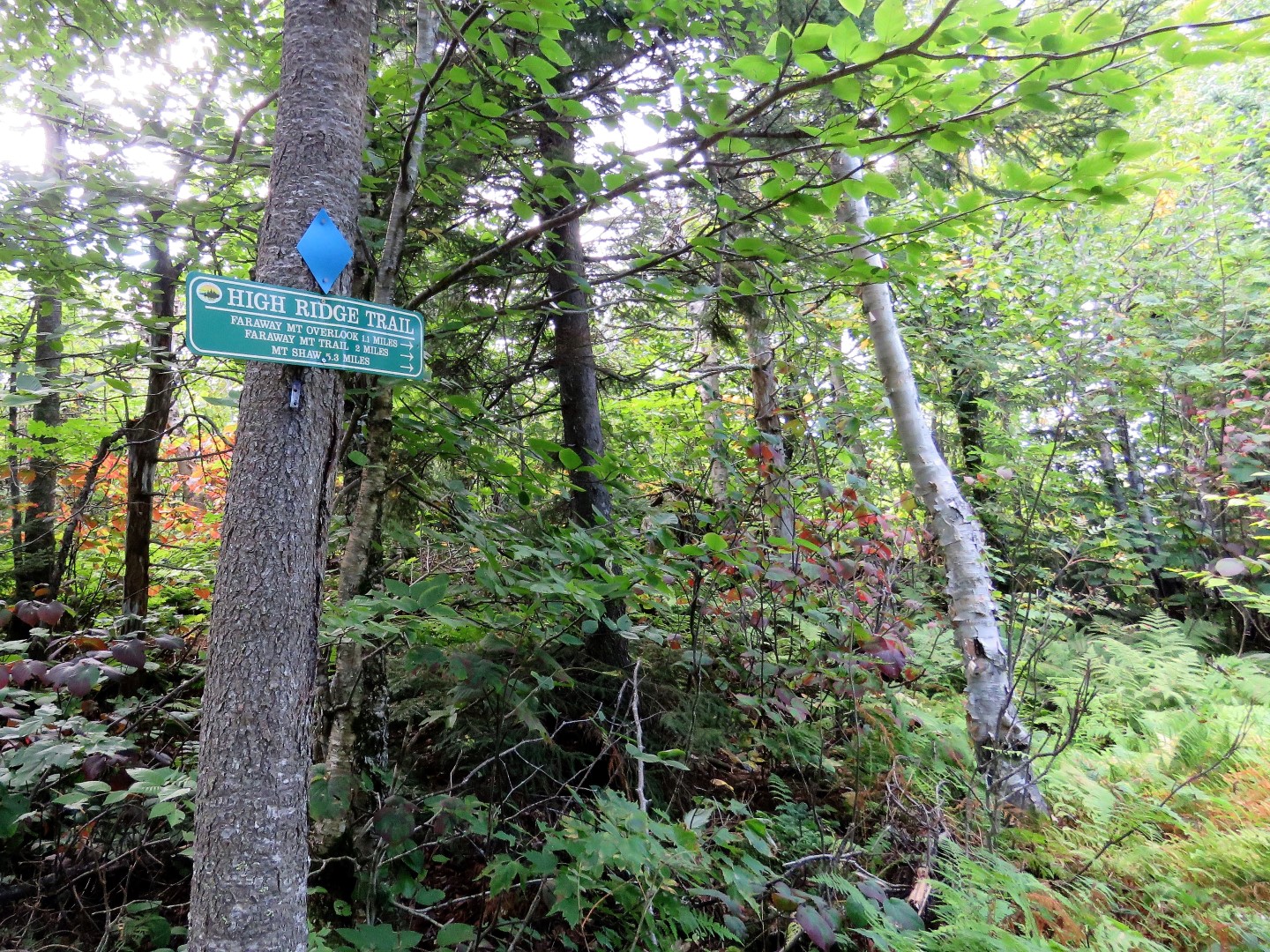
| Descending Mount Roberts on the other side on the High Ridge Trail. |
 |
| From here on out it's mostly grassy woods roads that switchback down. |

 |
| One more view point along the way. |
 |
| Turning right on the Faraway Mountain Trail. |

 |
| Right on the Cold Spring Trail. |


 |
| Coming up on Cold Spring Road where a left would have brought us back to Shannon Pond in half a mile but instead ... |
 |
| ... we crossed Cold Spring Road and took the Settlement Trail... |

 |
| ... to the Whitten Trail ... |
 |
| ... to the Whitten Graveyard, |
 |
| Just as we turned back on to Cold Spring Road, the Copp Cellarhole a short distance off the road. Looks like porcupines have been munching on that sign. |
 |
| A short distance along Cold Spring Road, a left on the Pond Trail ... |

 |
| ... which brought us to the opposite side of Shannon Pond from where we started. |

 |
| Brodie saw some horses and didn't act near as badly as I thought he would. |
 |
| Back to the parking lot. |


