

ABOUT THE PARK AND CABINS:
White Mountain National Forest, NH - USDA Forest Service
Coppermine Trailhead - USDA Forest Service
DIRECTIONS:
GPS Coordinates 44.181188, -71.756568
 |
| Parking on the left at the beginning of Coppermine Road ... |
 |
| ... before the signs. |
TRAIL MAP:
White Mountains Waterproof Hiking Trail Map - Map Adventures
HIKE DISTANCE: 4.9 miles
THE HIKE:
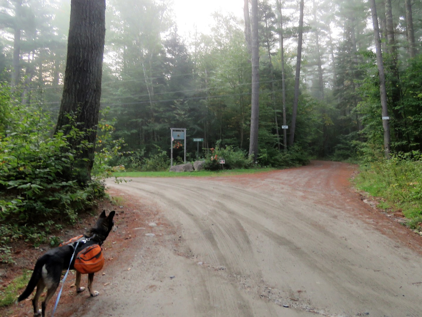 |
| Right at the fork ... |
 |
| ... then left on the trail. |

 |
| The trail really isn't blazed - this is about it as far as blazes go, but it's very easy to follow. |


 |
| The Coppermine trail soon meets up and follows uphill along Coppermine Brook. |


 |
| A bridge over Coppermine Brook. |

 |
| Coming up on the Coppermine Shelter. |
 |
| Brodie was very intrigued by this ... |
 |
| ... and insisted on a thorough inspection. |
 |
| A little beyond the shelter to ... |
 |
| Bridal Veil Falls |

 |
| Heading back down. |


Maybe Brodie wants to go backpacking? I can't wait to get back to the White Mountains some day.
ReplyDeleteMaybe Brodie does but I don't LOL! I might try to get back there once a year but why my GPS deemed it necessary to take me back on I-93 instead of I-91 is beyond me. I had to take I-93 going up because of the first hike but early on a Friday morning it wasn't bad. Going home that way on a Sunday afternoon, OUCH! Never going that route again.
DeleteI think Brodie was thinking that old Copper Mine shelter could be his next dog house back home.
ReplyDeleteHa ha ha. Not that he has a dog house but if he did I am sure that would be an upgrade.
DeleteOh my gosh! I just discovered your blog. You are living my dream of traveling and hiking with your dog. LOVE the beautiful photos!
ReplyDeleteThanks! You are the second person in a week who has told me I am living their dream. I never thought of it that way. I should never take it for granted!
Delete