Showing posts with label NY Catskill Park. Show all posts

Saturday, December 16, 2023

Catskills, NY - Ashokan Rail Trail from Ashokan to Boiceville

ABOUT THE PARK: 

DIRECTIONS: 
GPS Coordinates 41.97279, -74.19879
Ashokan Station Trailhead Parking

TRAIL MAP: 
My track recording did something weird and added in line which made the total mileage more than it was.  When that happens it seems it is time to reboot my phone.

HIKE DISTANCE:  10.4 miles (5.2 miles each way)

THE HIKE:
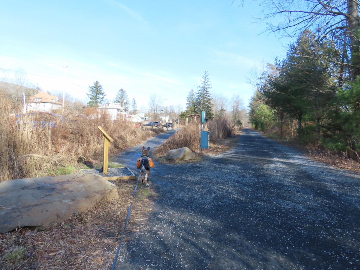
From the kiosk at the center of the parking lot, we turned right heading west.
I had sprained my ankle two weeks prior so I needed an easy hike since my ankle wasn't quite 100% yet.
Straight ahead is the Boiceville Station Trailhead.  This was out turn around point.
Side trail back to the parking lot.

Sunday, October 8, 2023

Catskills, NY - Black Dome (partial) and Blackhead

ABOUT THE PARK: 

DIRECTIONS:
GPS Coordinates 42.288765, -74.114545
Parking at the end of Big Hollow Road.  I got the last space in the lot at 8 AM.  By the end of the hike cars were lining the road.  

TRAIL MAP:
Northeastern Catskill Trails Map #141 - NY/NJ Trail Conference


HIKE DISTANCE:   5 miles

THE HIKE: 
It's a very grueling 5 miles that took me as long to hike as a more moderate 10-mile hike in the Catskills, made even slower by flowing water on most of the trails making them slippery, especially on the very steep descent off of Blackhead.
Continue on Big Hollow Road.  It will turn into the red-blazed Black Dome Range Trail.
It had rained a lot in previous days so there were several flowing rivulets to cross.
Signing in at the trail register.  I was so exhausted at the end of the hike I forgot to sign out.
Batavia Kill was raging from all of the rain.
Fortunately there were bridge crossings.  Well, for the most part.
The trail was often flowing water.
This is where the yellow Batavia Kill Trail goes to the left.  There is a bridge crossing up ahead off the trail.
We would be returning on the yellow trail.  For now, on and upward on red.
This crossing had no bridge.  I went upstream a bit but there were never enough rocks to rock hop over and the water was raging so back to a quieter part, shoes and socks off and barefoot across.  Had it been the end of the hike I would have forded on over but not this early on.  I thought Brodie was behind me but turns out he could not find a way over.  The promise of "Brodie!  Cookies!" along with holding a cookie up for him to see made him cross.  And yes, he got the cookie.
Now things start to get steeper.
In the col between Black Dome and Blackhead I needed to decide if I should go for Black Dome also, knowing I would still have to climb Blackhead.  Only .6 miles?  What the heck, let's give Black Dome a shot.
This is where things got complicated.  We had already been up a few short scrambles and I had to mentally be aware that we also needed to descend back down.
It didn't get any better so I decided to abort and head back.
Retracing back to the col with Blackhead up ahead.
Believe it our not, they had camp stoves going and were cooking lunch.  Seriously?  You can't take PB&J on a hike?  It was all I could do to get Brodie past the aroma.  Hello, any bears out there?
Starting up Blackhead which wasn't nearly as bad as Black Dome.
The trail flattens out at the top.
People who would do this should not be allowed to hike.  Brodie was the bigger person and packed it out in his backpack.
At the summit of Blackhead.
Now on to the blue Escarpment Trail.
So far nice and easy.  But don't be fooled.
Here the trail goes down.  Steeply.  Very, very steeply.
The rocks were wet and slippery and it was very slow going, often having to sit on a rock with flowing water and scoot down on my behind.  Not having to deal with getting down with a dog would have made it easier and faster.
Looking back up the way we can down and seriously, it is worse than it looks.
It's along descent, would have been easier going up rather than down.  It finally smooths out.
Now left on the yellow Batavia Kill Trail.
Even though this was much easier hiking, my knees were screaming from that steep descent.
Back at the intersection with the red Black Dome Range Trail where we took the bridge over.
Retracing on red back to the parking lot.
Back at the parking lot, there were cars everywhere lining the road.
I didn't see that many people on the trail but it is also an access point for Windham High Peak and Acra Point, a MUCH easier hike that we did on October 10, 2011.