ABOUT THE PARK:
Cheesequake State Park - New Jersey Department of Environmental Protection
This park charges an entrance fee between Memorial Day and Labor Day
DIRECTIONS:
GPS Coordinates 40.436661, -74.265326
 |
| The parking lot almost empty at noon - unheard of! Not too many people braved the cold. |
TRAIL MAP:
Cheesequake State Park Trail Map - NJ Department of Environmental Protection
HIKE DISTANCE: 2.6 miles
THE HIKE:
This was the third weekend in a row of single-digit feel like temperatures but Brodie and I could take it no more so we bundled up and headed to the state park closest to us for a short hike. Plus I had been breaking in a new pair of winter hiking boots that are supposed to keep your toes warm. That is the one thing that drives me nuts hiking in this awful cold - frozen toes.
 |
| Starting at the trail head. |
 |
| I always hand a right on yellow at the fork and return from the left. |
 |
| If people were more responsible with their dogs this would not happen and I always see irresponsible people letting their dogs run amok. So frustrating. |
 |
| At the bottom of these steps ... |
 |
| ... I leeve the yellow trail and take an unmarked path around the perimeter of the lake. |
 |
| A patch of snow that survived the 60 degree weather on Friday before the arctic cold front come back. |
 |
| Northern Flicker |
 |
| Cutting through along the beach over to ... |
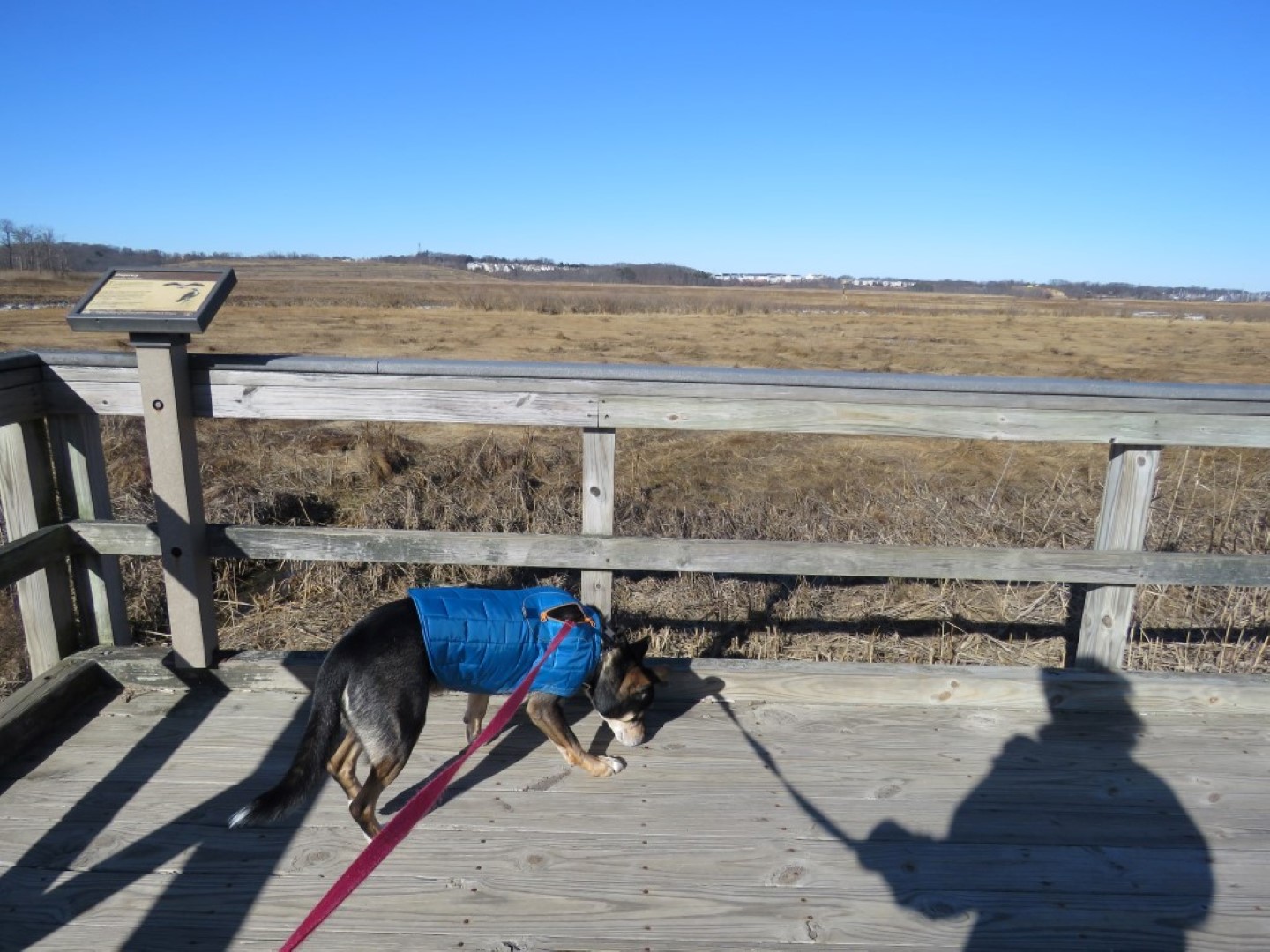
 |
| ... the Crabbing Bridge. |
 |
| It was darned cold out here in the open. |
 |
| It was, literally, as cold as this looks. |
 |
| Some more unmarked trail to the left after Crabbing Bridge. |
 |
| This unmarked trail, pretty easy to follow, leads right into the blue trail where we turned left. |
 |
| This was all knocked out from Hurricane Sandy and I could never continue on since the boardwalk was destroyed. But it's been a few years since I was here and it's all fixed and passable now. |
 |
| Sometimes Brodie is a lot like Shawnee - forget those steps if we can. |
 |
| Merging in with red and green before the interpretive center. |
 |
| Bird houses at the interpretive center. |
 |
| A little bit of an unfrozen cascade. How is that possible in this cold? |
 |
| And the final picture, almost at the end, before the battery in the camera completely died. This was a spur of the moment hike so nothing had been charged up. |
As far as these new winter hiking boots - and I know you are all wondering because who likes frozen toes? I could not believe how warm my feet stayed in these boots and they were comfortable, too. They were a little bulky and I tripped on roots a few times so had to be conscious of that.
I ordered them from
Cabela's since they were $99.88 and the rest of the world sells them for $149.99. I am not a big fan of Merrell but I have to say, these boots are great. No more frozen toes. I had read in reviews to order a half size up to accommodate thicker winter socks, which I did and which was definitely the right thing to do.