Campgaw Mountain Reservation - Bergen County Parks
DIRECTIONS:
GPS Coordinates 41.051821, -74.191408
 |
| I like parking here because parking near the entrance is already very busy at 7 AM. |
TRAIL MAP:
Northern New Jersey Highlands Trail Map 150 - NYNJ Trail Conference (shows some unmarked trails)
The Gaia app shows all of the unmarked trails and was essential in being able to follow some of them.
 |
| The unmarked trails are inside the white circle. I had hiked the unmarked trails in yellow previously, the unmarked trails in purple on this hike. |
HIKE DISTANCE: 7.2 miles
THE HIKE:
The marked trails are very easy to follow. The unmarked trails range from easy to follow to almost impossible to follow so an app that shows the trails is definitely needed. I am surprised I followed them as closely as I did since the trail was often invisible under all of the leaves. Another thing to note is this was a very cold day, in the 20's when I started, and phone batteries do not hold power in cold weather. I had my phone out so much to follow the trails that the battery went down very fast. I had to recharge my phone with the power bank four times.
 |
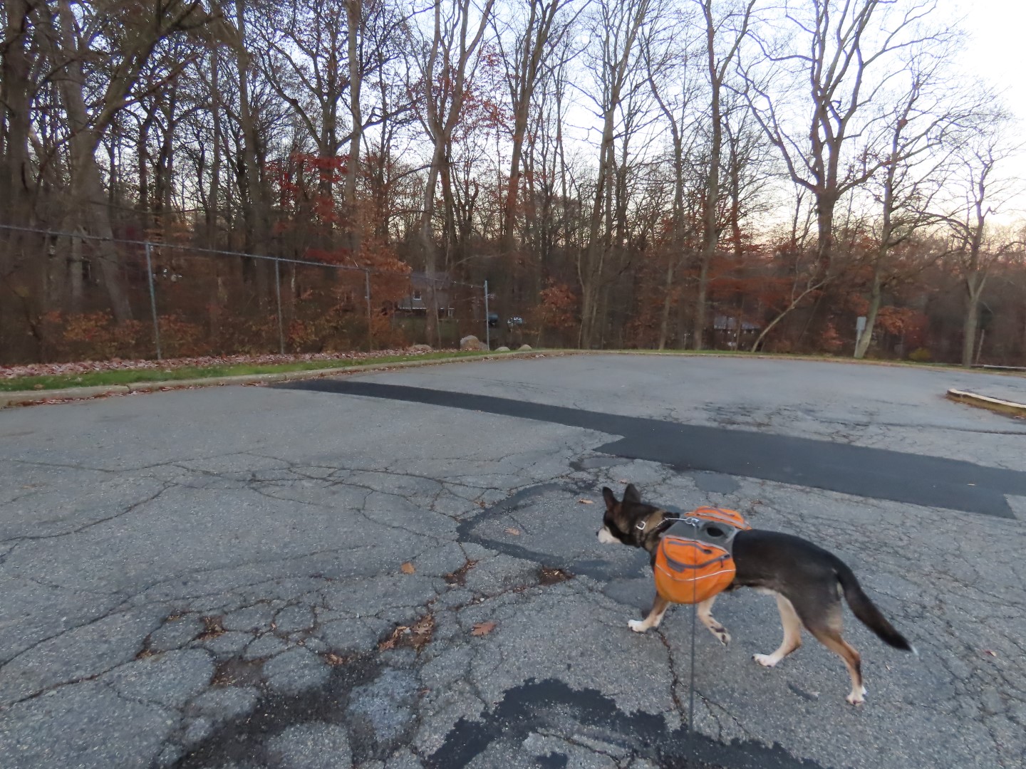
| The red trail goes right along the parking area; we turned left on red. |


 |
| At the end of red, left on blue/orange. |


 |
| Coming up on the ski slopes on blue. |


 |
| From the top of the ski slope we worked our way around to red. |
 |
| Passing the yellow loop that we had hiked the last time. |
 |
| The unmarked trails start at this cairn on red. |
 |
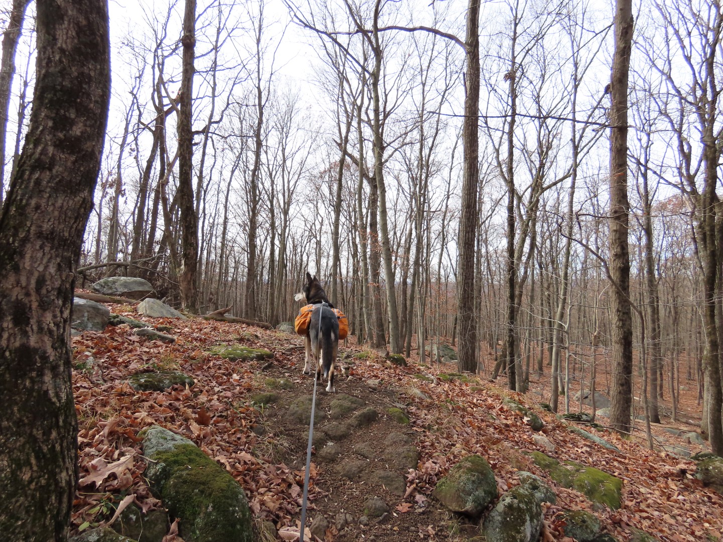
| At first the trail was visible but it soon faded out. Sometimes I was able to follow downed logs placed to indicate the trail. |
 |
| Sometimes a little bit of paint to show the way. |
 |
| And sometimes sawed deadfall shows where the trail goes. |
 |
| I did not know it at the time but this would be significant as I would be returning to this orange streamer later to get back on the red trail to finish. I could not see the intersection at the time. This was the most invisible and challenging unmarked trail of this hike. |
 |
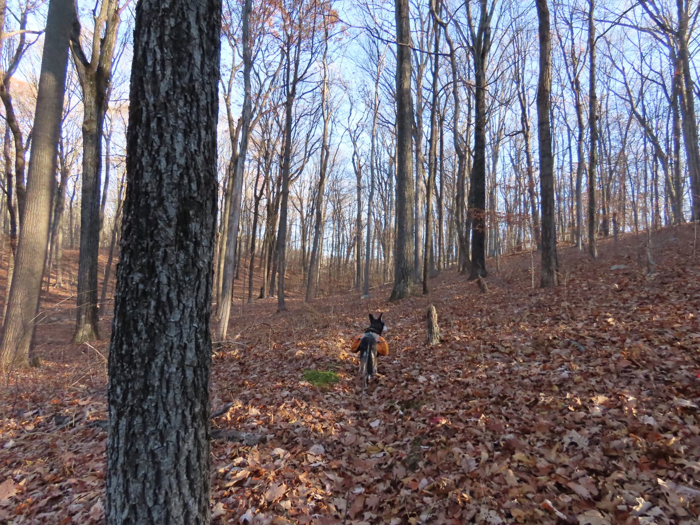
| But it was a beautiful area with winter views ... |
 |
| ... and a babbling creek. There is no noise at all from I-287 this side of the mountain. |
 |
| Occasionally there are cairns to lead the way. |

 |
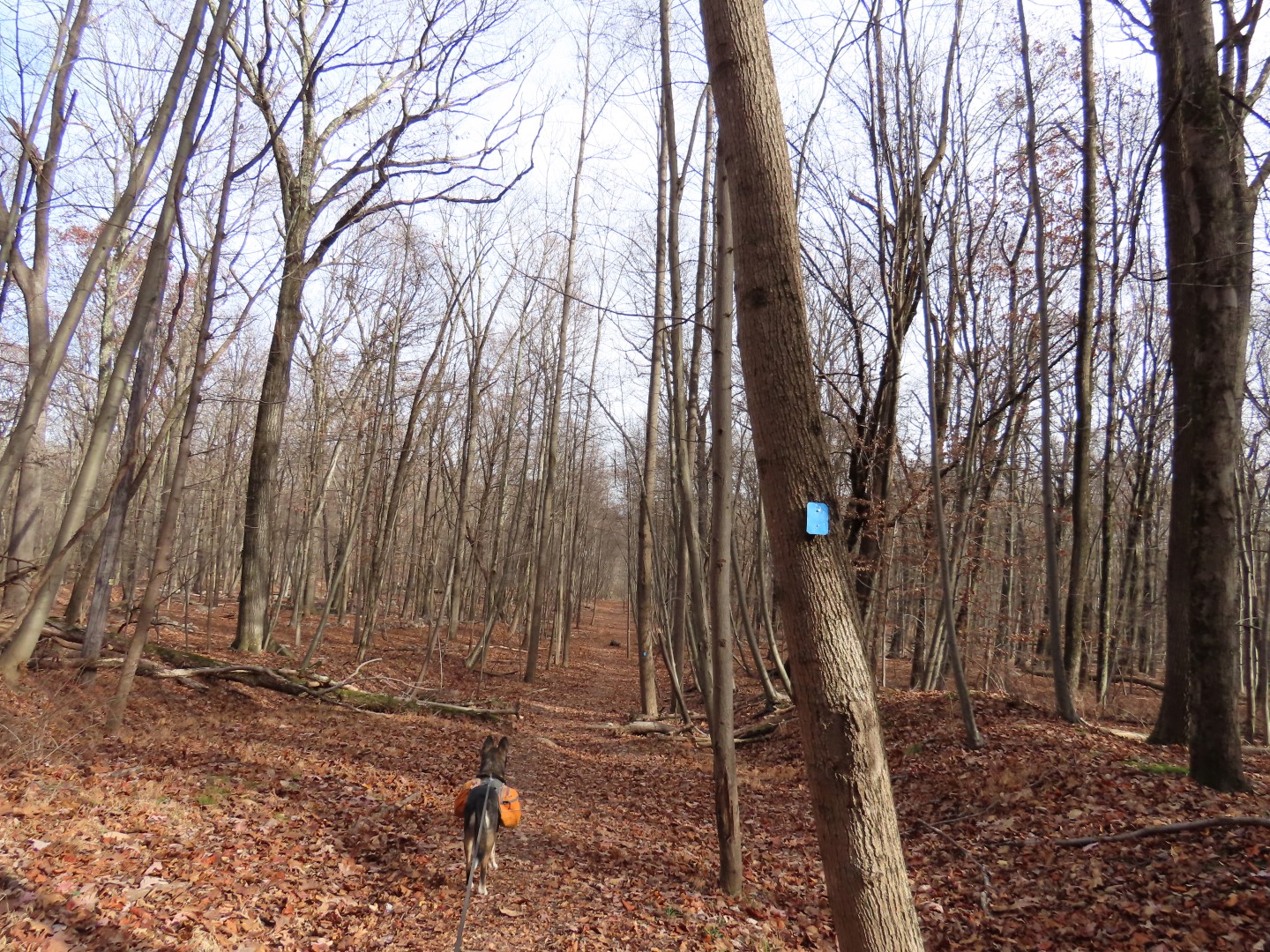
| We turned right on a more defined trail that was easy to follow. This is the only time we ran into one other person. |
 |
| On a woods road to a small pond on the right. |
 |
| Thinking the pink might indicate a trail not on the app, we turned left to follow it. |
 |
| It went through a pretty area ... |
 |
| ... to a trashy party spot with tons of beer cans in a pit. |
 |
| We continued on even though the trail faded out in downed trees but made our way over to the creek which we followed upstream to ... |
 |
| ... the trail I knew would be up ahead at the bridge crossing the creek. |
 |
| A break bench at the top with ... |
 |
| ... nice views of the creek. |
 |
| Continuing on over that bridge from the creek view. |


 |
| Brodie having a staring contest with ... |
 |
| ... some deer. |
 |
| After meeting back up with that orange streamer we retraced back to ... |
 |
| ... right on red. |

 |
| Left on blue. |

 |
| Right on green. |


 |
| Right on red all the way back. |