New Jersey unveils first-of-its-kind mountain bike trail at Long Pond Ironworks State Park - News 12 New Jersey
Jungle Habitat Trail Revitalization Project Begins - New York New Jersey Trail Conference
Jungle Habitat: Wild, Free and Abandoned - Weird N.J.
DIRECTIONS:
GPS Coordinates 41.118731, -74.327037
.JPG) |
| Pull out parking for about 4 cars. |
 |
| The map shows parking in the power cut at the other end where the Burnt Meadow Loop crosses Burnt Meadow Road (41.13076, -74.32510). I drove by three times and saw nothing that looked like a place to park. Maybe this is yet to be constructed? |
TRAIL MAP:
 |
| Because this is still a work in progress, might be a good idea to check for updated maps. I hiked the trail around the parking lot shown as orange but it is currently blazed with old gray markers. |
Northern New Jersey Highlands Trails Map 151 - New York New Jersey Trail Conference
HIKE DISTANCE: 6 miles
THE HIKE:
I labeled this hike as "Jungle Habitat 3" because there are more trails I need to explore and it is the perfect place for me to hike a little over a week after chemo when I have started to get my energy back. There are dirt and paved trails of various difficulty levels so it's easy to choose which ones work at any given time. This particular hike started out more aggressively outside of Jungle Habitat with no easier options so a lot of energy was expended up front.
 |
| Starting left across the road from the kiosk ... |
 |
| ... on the Burnt Meadow Loop Trail. |


 |
| Left at the top when the Highlands Trail joins in from the right. |
 |
| I had seen some great fog hanging over Monksville Reservoir on the drive in and was hoping for some cool shots from up above but turns out I was looking down on the cloud of fog. |


 |
| Finally a glimpse of Monksville Reservoir under the cloud.... |
 |
| ... with a peek into the water. |


 |
| A spur trail goes left back to Burnt Meadow Road. |


 |
| Just before the power cut the trail turns left leaving the Highlands Trail but first ... |
 |
| ... a right turn into the power cut for ... |
 |
| ... some clear views of Monksville Reservoir. |


 |
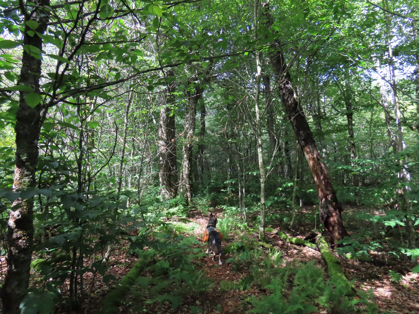
| Back on the Burnt Meadow Loop. |
 |
| There were about 5-6 of these notices tacked to the trees ... |
 |
| ... pertaining to this. Hope they tear it down and dispose of it. |
 |
| Coming out on Burnt Meadow Road. |
 |
| After crossing Burnt Meadow Road the trail continues but it soon becomes unclear how to continue. The map shows the trail going left into the woods but tried that a couple of different ways and it is all overgrown and impassible so we continued in the power cut. |
 |
| And eventually saw the green blaze on the right so the trail does continue in the power cut, not to the left in the woods as the map shows. |
 |
| Eventually the power cut road turns into the woods. |
 |
| Oh, well, hello there Mr. Bear who was here very recently. |
 |
| Once we ran into the blue Tapawingo Trail we left the marked trail to the right following woods roads staying with the powercut heading uphill. |


 |
| These unmarked woods roads took us clear to the top ... |

 |
| ... where we turned left on an old paved road shown as a dashed line on the map between two mountain bike trails. |
 |
| We passed the Boon Trail on the left which I intended to take but after the rugged hike so far, a bit of easy pavement was called for. |


 |
| Break over, leaving the paved trail. |
 |
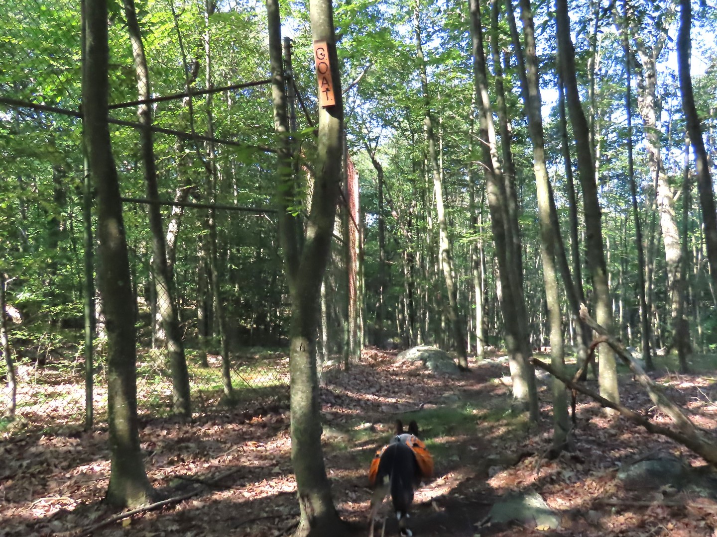
| Old animal enclosures from the days of Jungle Habitat. |
 |
| Back on a paved path, we worked our way over to the huge parking lot area in search of the tunnels. |
 |
| There are tons of trails here, more for exploring another time. |

 |
| From the parking lot ... |
 |
| A path to the right to the tunnels. (The Weird N.J. link has an original picture of the tunnels.) The picture below is the old ticket booth (it won't let me add a caption for some reason). |

 |
| Working our way around the maze of trails. |

 |
| This looks like it might have been an aviary. |
 |
| Heading back to ... |
 |
| ... the Tapawingo Spur Trail. |
 |
| When the spur trail ends, left on the blue Tapawingo Trail. |
 |
| At the overlook that is no more watch closely for green blazes on the rock surface - they are very easy to miss. I only knew where to turn since I had been here on the first Jungle Habitat hike and went over to the right in the shade to take a break and saw the green blazes on the other side of the rock surface.. |


 |
| Coming back out on Burnt Meadow Road. |