ABOUT THE PARK:
De Pauw Nature Park - De Pauw Univeristy
DIRECTIONS:
GPS Coordinates 39.63543, -86.88549

TRAIL MAP:
Nature Park Trail Guide - De Pauw University
HIKE DISTANCE: 4.2 miles
THE HIKE:
Drive 'n hike New Jersey to Missouri to help my mother who recently had hip replacement surgery. This is hike 2 of 2 on the day 2. Where I usually would drive 4 hours, hike 8-10 miles, then drive another 4 hours, I broke this down into shorter drives with two shorter hikes because of where I am with working my way back to full speed after my hip replacement surgery.
 |
| If you are in the area, this hike is not to be missed. This was a limestone quarry until 1977 and is reverting back to nature. It is a very unique place. |
 |
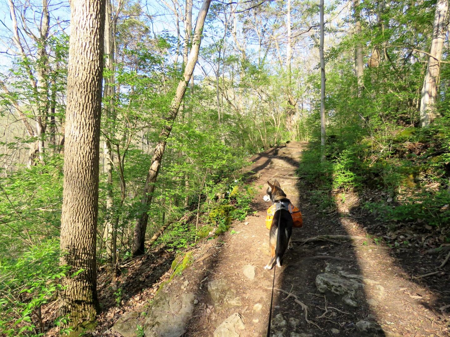
| We started on the Rail Trail. |
 |
| Trail names are painted on boulders at intersections. |
 |
| Right on the Creekside Trail. |


 |
| The Creekside Trail follows Big Walnut Creek. |
 |
| Lots of spring wildflowers along the trail. |


 |
| Big Walnut Creek |


 |
| The Creekside Trail loops around and heads away from the creek. |

 |
| After a break at that picnic bench, right on the Rail Trail. |
 |
| The Creekside Trail where we just came from visible to the left below. |
 |
| Right on the Woodland Trail |

 |
| Left towards the Rim Trail. |
 |
| Quarry Pond in the quarry. |
 |
| The Rim Trail follows the rim of the quarry with views along the way. |

 |
| To put the massive size of the quarry in perspective, the red arrow points to a college student jogging on the other side. |

 |
| Tiny people below in the quarry. We'd be heading down there later. |


 |
| Down into the quarry on the Quarry Trail. |

 |
| Vultures everywhere. |


 |
| Coming up out of the quarry. |

 |
| Back at the parking lot. |
 |
| A stop in Terre Haute, IN to stock up on the best vegetarian ham ever that is no longer available in New Jersey. |
 |
| Then on to St. Louis where ... |
 |
| ... my mother has had a mourning dove nesting in the ornamental eagle over her front door for the past 3 weeks. |
 |
| I arrived just in time for the babies! This was taken with the zoom lens on my camera from way out at the street. We come and go through the garage as much as possible to avoid disturbing them. |