Tuesday, September 17, 2019

Duke Farms, NJ


ABOUT THE PARK:
Duke Farms - dukefarms.org 
NOTE:  Closed on Wednesdays, no dogs allowed.

DIRECTIONS:
GPS Coordinates 40.545747, -74.624868
Huge parking lot that apparently fills up quickly on weekends.  I have only gone during the week.

TRAIL MAP:
Duke Farms Map - dukefarms.org
The Orientation Center has paper copies of the map.
Powered by Wikiloc

HIKE DISTANCE:  4.8 miles

THE HIKE:
Took a day off work to go to Duke Farms with my daughter-in-law and grandkids.  The last time I was here I rented a bike, this time it was via strollers for the kids.
Road Trip!
Ready for an adventure.
First to the orientation center for a map. 
Then to the pedestrian entrance ...
... where there is a light and a crossing guard.
After crossing the road, it's only bicycle traffic you have to watch for. 


There are paved paths, gravel paths and mowed grass paths.  We mostly stayed with paved since it was easier with the strollers.

Water features along the way.
Sculptures and stone structures.
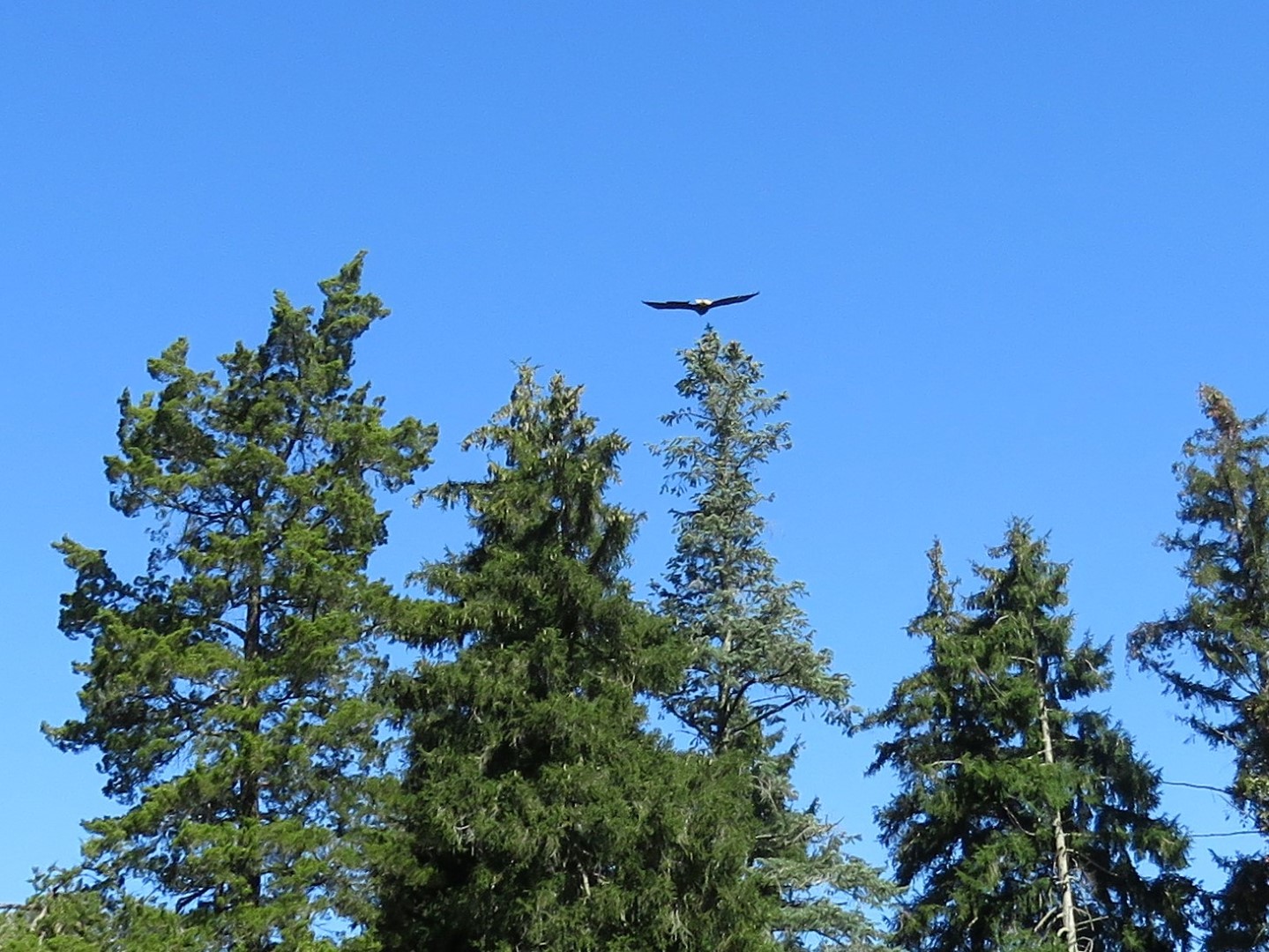
A bald eagle flew right over us.
Mermaid Pool
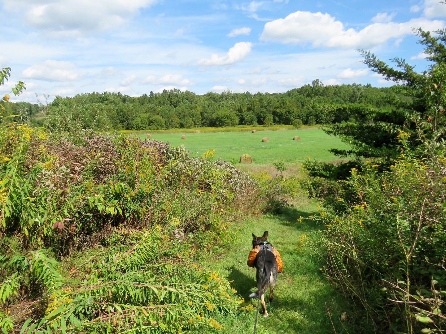
Taking one of the mowed paths that was pretty bumpy with the strollers ...
... but it put everyone to sleep for a nap.
Awake for a snack.
Coming up on Orchid Range which was very, very cool.

Leaving Orchid Range to retrieve the strollers parked at the bike rack.
Trying out a gravel path on the way back.
Crossing the road ...
... and back to the orientation center and parking lot.

Sunday, September 15, 2019

Columbia Land Conservancy, NY - Hike Five Challenge


ABOUT THE PARKS:
Columbia Land Conservancy Hike Five Challenge - Columbia Land Conservancy
High Falls Conservation Area - Columbia Land Conservancy
Harris Conservation Area - Columbia Land Conservancy
Borden's Pond Conservation Area - Columbia Land Conservancy
Siegel-Kline Kill Conservation Area - Columbia Land Conservancy
Greenport Conservation Area - Columbia Land Conservancy
Harrier Hill Park - Scenic Hudson
Stockport Wildlife Management Area - New York State DEC
Hike Five Challenge Patch

DIRECTIONS:
Each conservation area has it's own gravel parking lot.
My route including driving distances to each conservation area.
High Falls - 42.247193, -73.657690
Harris - 42.335591, -73.509158
Borden's Pond - 42.352910, -73.595480
Siegel-Kline Kill - 42.334755, -73.624346
Harrier Hill/Stockport - 42.291483, -73.764936
Greenport - 42.269165, -73.768539

TRAIL MAPS:
Map of Public Conservation Areas - Columbia Land Conservancy
High Falls Conservation Area Brochure - Columbia Land Conservancy
Harris Conservation Area Brochure - Columbia Land Conservancy
Borden's Pond Conservation Area Brochure - Columbia Land Conservancy
Siegel-Kline Kill Conservation Area Brochure - Columbia Land Conservancy
Greenport Conservation Area Brochure - Columbia Land Conservancy
Harrier Hill Trail Map - Scenic Hudson

HIKE DISTANCES:
High Falls Conservation Area - 1.5 miles
Harris Conservation Area - 1.6 miles
Borden's Pond Conservation Area - 1.9 miles
Siegel-Kline Kill Conservation Area - 1.2 miles
Harrier Hill Park/Stockport Wildlife Management Area - 1.4 miles
Greenport Conservation Area - 5.4 miles
                                   TOTAL - 13 miles

THE HIKE:
For this hike we visited five of the ten Columbia Land Conservancy properties along with Harrier Hill/Stockport WMA. Each conservation area is exceptionally well-maintained with a variety of scenery.

1)  High Falls Conservation Area
Powered by Wikiloc

Walking through the portal ...
... into an instantly beautiful forest.
Coming up on the falls is quite impressive.  Neither pictures nor video do it justice.


Taking blue down to creek level.
The bottom of the falls at creek level.
Heading back up.

2)  Harris Conservation Area
Powered by Wikiloc
Coming up on a small pond.

3)  Borden's Pond Conservation Area
Powered by Wikiloc
An overlook of Borden's Pond, which does no longer appear to exist but pretty nonetheless.

4)  Siegel-Kline Kill Conservation Area
Powered by Wikiloc
There are a few side trails down to the creek along the way.
Up the hill to an overloook.

5)  Greenport Conservation Area (with Harrier Hill and Rockport WMA)
Powered by Wikiloc
The intention was to park at Harrier Hill Park, visit the overlook, then take the Greenport-Stockport trail over to the Greenport Conservation Area.
A wide mowed path from the parking lot ...
... with incredible views of the entire Catskill range.
A little pond to the right.
At the top, views that cannot be captured adequately in pictures.  The Catskills look so diminutive in the pictures but not when standing there.
Back through the parking lot and across the street into the Rockport WMA where it looked like the Greenport-Rockport Trail should be.
There were mowed paths but no trail markers.
When we ended up at private property, I knew that was wrong so we headed back.
Never did find the Greenport-Rockport Trail.  Everything to the left was impenetrable.  So back to the car to drive to the Greenport Conservation Area.

Powered by Wikiloc

Immediately the views are incredible.
Working our way around to the left, several viewpoints along the way.
Hudson River with the Catskills
I wish I would have brought a large cooler along.  I passed so many roadside farm stands driving from hike to hike but could not buy anything and leave it in the hot car all day.  Fortunately one was still open on the drive home.