ABOUT THE PARK:
Pickle Springs - Missouri Conservation Department
DIRECTIONS:
GPS Coordinates 37.80154, -90.30164

TRAIL MAP:
Pickle Springs Natural Area Trail Map - Missouri Department of Conservation
Powered by Wikiloc
HIKE DISTANCE:
Taum Sauk Mountain State Park - 5.6 miles
Elephant Rocks State Park - 1.9 miles (14 miles from Taum Sauk)
Pickle Springs Natural Area - 2.1 miles (27 miles from Elephant Rocks)
THE HIKE:
 |
| Trail entrance from the parking lot. |
 |
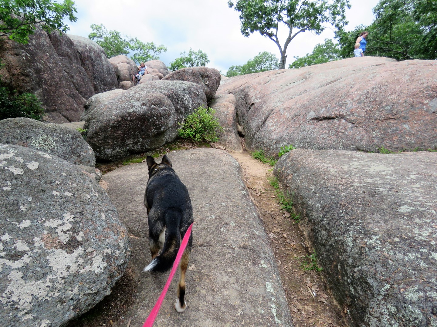
| Uh oh. Note #4. I always research whether or not dogs are allowed beforehand and I had sworn I read dogs are allowed. Having driven all this way with my car bungee corded together, I made the decision to proceed with the hike. |
 |
| Afterwards I checked and indeed, this is what the web site says. |
 |
| So off we went. |
 |
| Couldn't get this little guy into focus no matter how hard I tried - this was down in a canyon and it was just too dark. |


 |
| We had done this hike counter clockwise and were coming up behind the signs. Seems it should be done clockwise instead. |


 |
| As penance for taking Brodie where it seemed he should not have been, I picked up trash in the parking lot. |
 |
| On the way out, I stopped to assist this guy across the road. He was the second one I saved this day. The one earlier I had to stop traffic for, LOL. |