Sunday, June 16, 2019

Mohican State Park, OH - Lyons Falls Loop

I never saw a Mohican State Park sign so the adjacent state forest sign will have to do.

ABOUT THE PARK:
Mohican State Park - Ohio State Parks

DIRECTIONS:
GPS Coordinates 40.623246, -82.326400
Parking at Pleasant Hill Dam.

TRAIL MAP:
Mohican State Park Trail Map - Ohio DNR
Powered by Wikiloc

HIKE DISTANCE:  3 miles

THE HIKE:
This was intended to be a 10-mile hike but with rain and impending thunderstorms I was prepared to cut it short.  I had stopped before leaving the interstate to check the weather and the forecast showed a couple of hours of no rain.
Checking out Pleasant Hill Dam across the street from the parking lot.
Back over on the parking lot side, the trailhead.
That would be our return route, coming up that looooooong flight of steps.
It was so dark in the forest that the slightest movement caused blurry pictures.
Little Lyons Falls
Looking down from the bridge at the top of Little Lyons Falls.
Continuing on t Big Lyons.
Brodie froze for a minute thinking the trail was going straight into the falls.  Nope, left turn at the bottom of the steps.
Looking back at Big Lyon Falls.
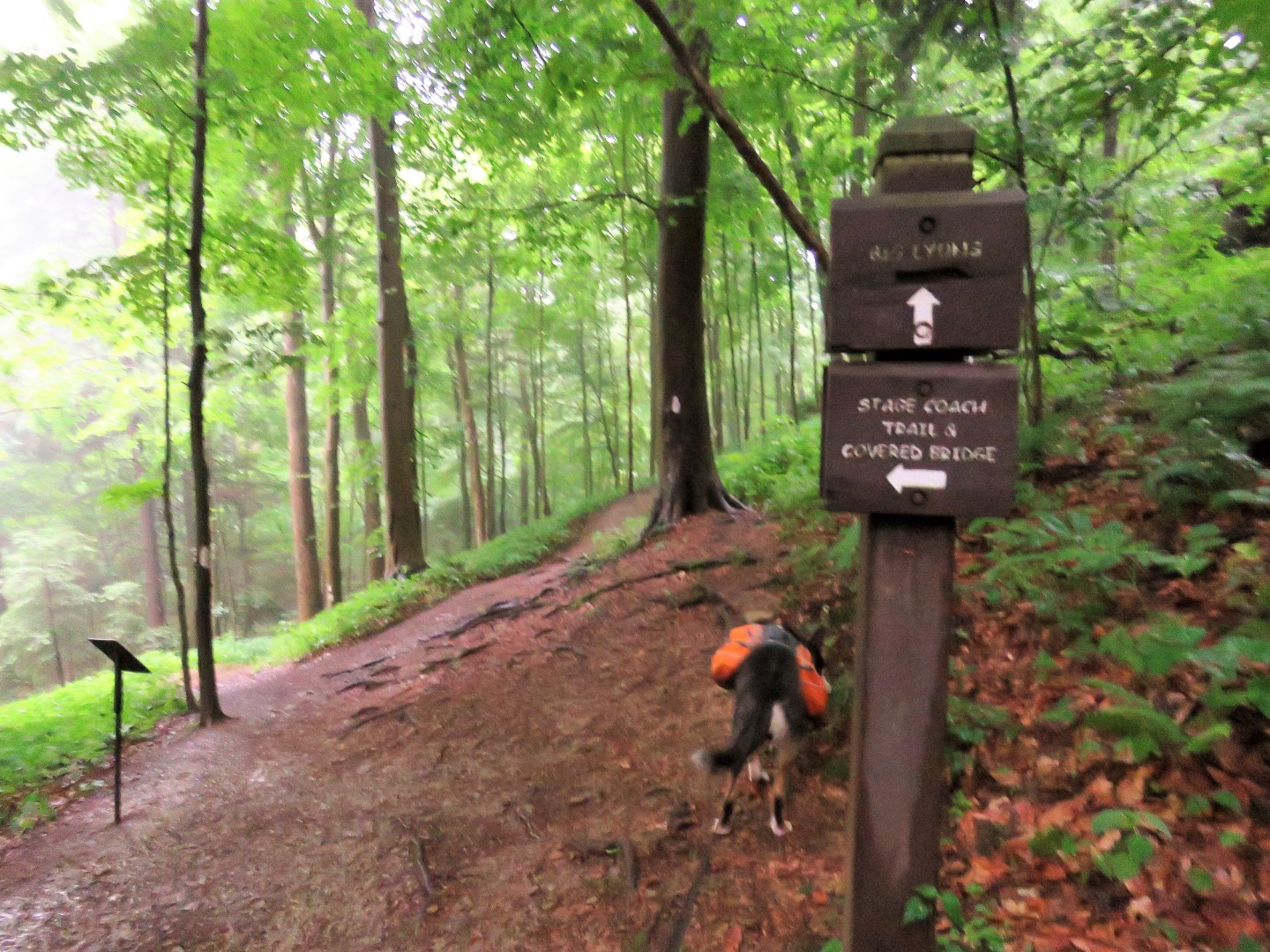
Continuing on to the covered bridge where I would have to decide whether to cut the hike short or not.
Right at the T-intersection but first a look at ...
Clearfork Mohican River
Surprisingly I had cell service.  Not quite at the covered bridge yet but the forecast not looking so good :(
Coming up on the park road with the covered bridge on the left.  Straight would be the 10-mile loop, left to the covered bridge would be the 3-mile loop.
The 3-mile loop it is.
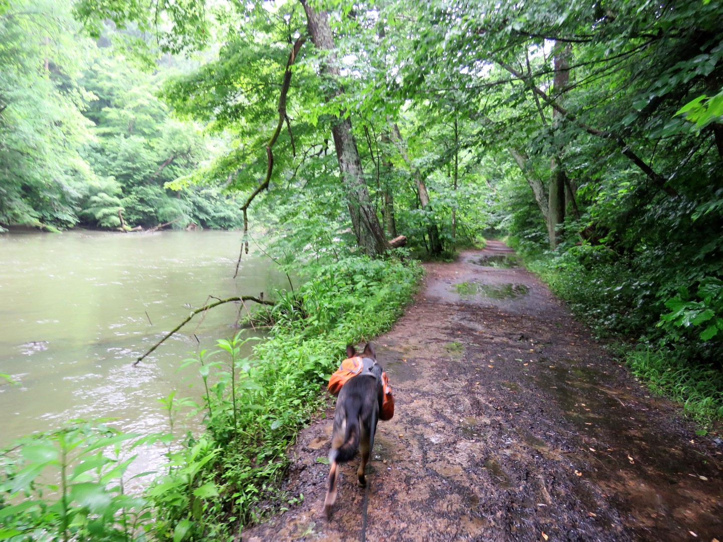
After crossing the bridge, follow the paved road left then left on the Pleasant Hill Trail.
This trail follows close to the river.
The rain has started.
Another wet great blue heron.
Amazingly, just as we reached the clearing with the looooong stretch of steps, the rain stopped.
A groundhog crossing the hill.
Up we go.
Stopping to take a picture because the quads were on fire!
Almost there.
A final picture from the top.
And back to the car.
No sooner had we left than it started to pour and it rained for the next hour and a half clear through to Columbus, OH
Once I got on I-70 West in Columbus it stopped raining and the sun started coming out so on to Plan B Hike in Dayton, OH to get in a few more miles.

Saturday, June 15, 2019

Kinzua Bridge State Park, PA


ABOUT THE PARK:
Kinzua Bridge State Park - Pennsylvania DCNR

DIRECTIONS:
GPS Coordinates 41.759449, -78.586946
I had intended to park at the General Kane trailhead, which is overflow parking, and make a 3-mile continuous hike out of the available trails but because it kept raining, I decided to do the skywalk first and they see if I could work in the General Kane Trail later.  So this is the main parking lot at the visitor center.

TRAIL MAP:
Kinzua Bridge State Park Trail Map - Pennsylvania DCNR
Powered by Wikiloc

Powered by Wikiloc
Both tracks together showing the connecting trail that can be used to make it one hike.

HIKE DISTANCE:
Skywalk and Kinzua Creek Trail - 1.6 miles
General Kane Trail - 1.2 miles

THE HIKE:
It had rained on the drive in but stopped just as we arrived to off so the skywalk first to get that in.
I had read that if you are afraid of heights that there is no way you can go out on the skywalk.  I am here to tell you, as someone terribly afraid of heights, that it is totally not true.  With the beefy railing, I was completely OK with it.
I was even able to look over the edge to take pictures of the Kinzua Creek Trail down below without getting weak in the knees.
The glass floor at the end didn't bother us either but then it's very foggy and not at all clear glass so that could be why.
View from the end of the skywalk.
Heading back.
After looping back around to my car to grab a new camera battery, stopping at the observation platform on the way to the Kinzua Creek Trail.  Rain still holding off.
The end of the skywalk where we were previously.
Now down the steep stone steps that we will have to climb back up on later.
Just as we hit the trail at the bottom of the steps, the rain caught up with us.  I had taken an umbrella since it was short and so I could still take pictures and not get the camera wet.  Plus the umbrella served as a trekking pole on the way back up.  When it wasn't raining, that is.
Bridge over ...
Kinzua Ceek
There are no trespassing signs everywhere.  Per DCNR: "Due to unsafe conditions in the area of the downed towers, visitors are prohibited from walking under the skywalk and in the surrounding area as indicated on the map."
Yet there are people with their CHILDREN in the forbidden zone teaching them rules don't apply.  This is how places get closed down to the public.  Unbelievable.
Heading back up.  And it really wasn't as bad as I thought it would be.
This is an authorized view under the skywalk near the top of the Kinzua Creek Trail.
The rain had stopped so we drove on over to the General Kane Trail at the overflow parking lot.
The General Kane Trail is flat and easy alternating between mowed grass and woods road.
And here comes the rain again.
Back at the car.
Just as we left, rain started coming down hard and it rained all the way to ...
... the motel in Youngstown, Ohio.