ABOUT THE PARK:
Plainfield Township Trail - TrailLink.com
Everything I read about this trail said the surface was crushed stone or dirt. Turns out the surface is asphalt, which is not the type of trail I had in mind. Great for biking, no so great for hiking.
DIRECTIONS:
In trying to find a part that was not asphalt, we hike two sections driving from one trailhead to the other.
Belfast Junction Trailhead - GPS Coordinates 40.76598, -75.27150
 |
| A very busy lot, almost full even before 7 AM. |
|
Knitter's Hill Trailhead: GPS Coordinates 40.82664, -75.26673
 |
| A smaller, less used lot. It was pretty full when we arrived, but almost empty when we finished around 11 AM. |
TRAIL MAP:
Plainfield Township Recreation Trail Map - Plainfield Township, PA
HIKE DISTANCES:
Belfast Junction north to Mile Marker 1.75 - 3.7 miles (1.85 miles each way)
Knitter's Hill south to second bridge - 2.5 miles (1.25 miles each way)
THE HIKE:
 |
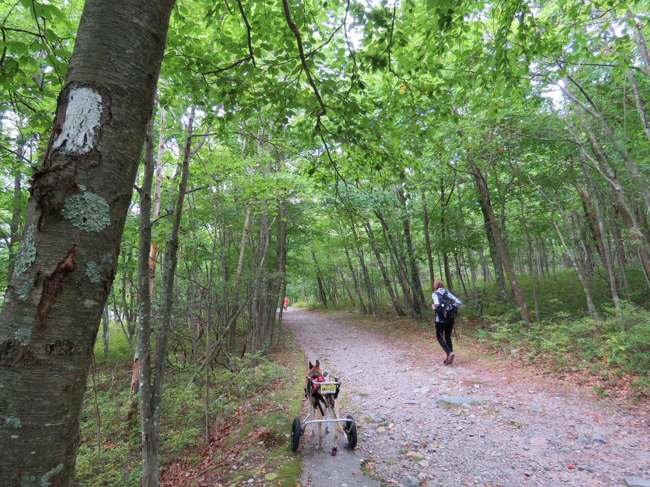
| Starting at the Belfast Junction Trailhead. The intention was to give Shawnee some more practice on dirt surfaces, which did not happen. |
 |
| We were joined by Peanut who is staying with us for the week and is also a hiker. |
 |
| I always wondered if they could make people pick up horse manure - I suppose so! |
 |
| Waiting patiently while I ran some Peanut manure back to the garbage can since we were only a few steps away. |
 |
| This overlooks Little Bushkill Creek down to the right but not much to see with the leaves on the trees. |
 |
| There is Little Bushkill Creek. |
 |
| There are a few well-marked road crossings. |
 |
| Shortly after this point the trail runs behind some McMansions so this is where we turned around. |
 |
| Heading back and the trail was getting way more crowded. |
 |
| Almost back at the Belfast Junction Trailhead, then in the car to... |
 |
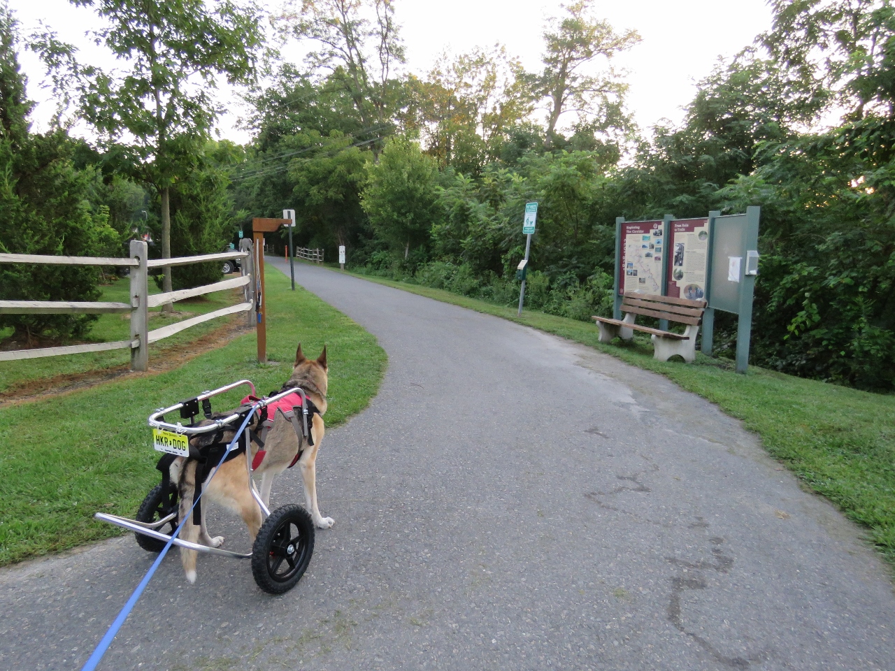
| Knitter's Hill Trailhead |
 |
| After the second bridge we took a break overlooking Little Bushkill Creek. |
 |
| Heading back. This section was not near as busy as the Belfast Junction section. But it was still all asphalt and we just weren't feeling that. |
 |
| Little Bushkill Creek |
 |
| Easier going in the grass. |
 |
| Knitter's Hill road crossing just before the parking lot on the right. |
 |
| Not what we were looking for but still good exercise and wheelchair practice to work up to harder hikes. |