

ABOUT THE PARK:
Sterling Forest State Park - NY State Office of Parks, Recreation and Historic Preservation
DIRECTIONS:
GPS Coordinates 41.23489, -74.23785
 |
| Parking P7 at the end of Ironwood Road. |
TRAIL MAP:
Sterling Forest Trails Map 100 - NY/NJ Trail Conference
Sterling Forest State Park Trail Map - NY State Office of Parks, Recreation and Historic Preservation
Sterling Forest State Park, NY - Sterling Valley Loop at EveryTrail

HIKE DISTANCE: 6.4 miles
THE HIKE:
 |
| Pick up the yellow-blazed Sterling Valley Loop Trail beyond the barrier at the power cut at the end of Ironwood Road. To do the loop in the opposite direction you would need to road walk on Ironwood Road just past the apartment complex then turn right at a gate. |

 |
| This hike is all woods roads and covers about every type of woods road you can think of, starting out with gravel. |
 |
| Some grassy woods road. |
 |
| Swamp |

 |
| An uphill section of rocky, eroded woods road. |
 |
| A green frog, cousin to the bullfrog. |

 |
| The trail parallels Route 17A just before... |
 |
| ... going through parking P8 which has a porta potty. |
 |
| Leaving parking P8 on the opposite side to continue on the yellow trail which is joined by ... |
 |
| ... the teal Highlands Trail for a short distance. |
 |
| The Highlands Trail leaves to the right. |
 |
| Continuing on yellow. |
 |
| A fork where a more defined woods road veers right but keep left to stay on the trail. |


 |
| Wet. muddy woods road. |


 |
| Descending to Sterling Lake. |
 |
| Turning left at the lake on yellow/blue. |
 |
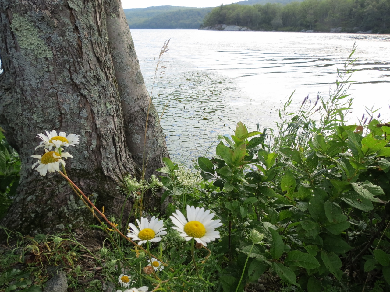
| Sterling Lake |


 |
| The woods road follows around the lake. |


 |
| Tiny red frog. There were mostly tiny brown frogs everywhere on the woods roads. |

 |
| Finally coming up on ... |
 |
| ... the beach ... |
 |
| ... with easy access to the water. |


 |
| That was worth hiking to according to Shawnee. It was hot and she needed to cool off. |
 |
| Swamp on the other side. |


 |
| Blue leaves to the right. |
 |
| Continuing on yellow. |

 |
| Stopping for one of our many breaks. |
 |
| There was a footpath opposite the turn for the orange Pine Meadow Trail right were we were taking a break so I left my backpack in the middle of the woods road to go investigate. It didn't really lead to a good view of the swamp. |
 |
| I noticed Shawnee was not following and she looked somewhat concerned. |
 |
| She must have thought I forgot my backpack and was happy to take me back to it. |
 |
| A little farther along, a spot on a bluff overlooking the swamp. |

 |
| The trail turns right towards the gate at the apartment complex parking lot on Ironwood Road. |
 |
| The sign on Ironwood Road where you would turn off doing the loop in the opposite direction. |
 |
| It's a short road walk past the apartment complex back to the parking area. |
 |
| Almost there for a drink of cold water from the cooler and some air conditioning. |


