

ABOUT THE PARK:
Hither Woods - Montauk Vacations
The Paumanok Path - Hiking Long Island
Trail Guide to the South Fork - the best information about the area, history and trails is in this book

Hiking and parking permits are free and are good for 3 years. They need to be requested from the New York State Department of Environmental Conservation by submitting the application form below. Instructions are on the form.
Click here for details
Click here for the application form
DIRECTIONS:
GPS Coordinates 41.013940, -72.006879
View Larger Map
 |
| Large parking lot at Hither Hills West Overlook with 180 degree scenic views of the Atlantic Ocean although on this particular morning fog obstructed the views. |

TRAIL MAP:
Trail Guide Map for East Hampton, NY - East Hampton Trails Preservation Society
HIKE DISTANCE:
11.3 miles plus additional .65 miles if going out to end of the pier at Rod's Valley
Many shorter loops are possible with the network of trails available.
THE HIKE:
Most of this hike follows the Paumanok Path which is blazed with white painted rectangles. This is a 110 mile long hiking trail through Long Island. While other trails in the parks are blazed with color coded diamond disks, they are not referred to by color on the map. Here is the color coding based on what I saw while hiking:
- Dark Brown - Petticoat Hill Trail and Elisha's Valley Trail
- Purple - Fresh Pond Landing Road
- Green - Old North Road
- Tan - Redmond's Path
- White - Rod's Valley Road
- Blue - Flaggy Hole Road
- Yellow - Split Rock Road
- Red - Ram Level Road
- Gray - Parkway Trail
 |
| With your back to Route 27, go to the left corner of the parking lot to start the hike at this sign. |
 |
| The Petticoat Hill Trail starts out with a wood chip surface then changes to packed sand. The trail forks a few times - doesn't matter which fork to take as they all merge back together. |
 |
| Elisha's Valley Trail |
 |
| The Long Island Railroad goes through the park so live tracks will need to be crossed twice. |
 |
| Shortly after crossing the LIRR tracks, turn right on the white-blazed Paumanok Trail. Turn blazes are noted by an upside down "L" - this would be a right turn. |
 |
| Fresh Pond |
 |
| Fresh Pond Landing Road to Napeague Bay beach. |
 |
| Napeague Bay from Waterfence Overlook |
 |
| Indian House Ruins |
 |
| The trail follows up along the top of the bluffs heading towards Fort Pond Bay and Block Island Sound. |
 |
| One of the many water views along the trail. |


 |
| The Paumanok Path joins in with Old North Road which was once used to smuggle liquor. |
 |
| Beach level view at Quincetree Landing. |
 |
| View from the bluffs at The Notch. |

 |
| About 5 miles into the hike, a grassy break spot at the top of Duck Bluff overlooking Block Island Sound. |
 |
| Three Red-Breasted Merganser couples out for a Sunday swim in Block Island Sound, as seen from Duck Bluff. |
 |
| The Paumanok Path follows the Coastal Trail. |
 |
| The pier at Rod's Valley Park from Dyer's Landing at Rocky Point. |
 |
| A Lesser Black-Backed Gull in Fort Pond Bay. |
 |
| The pier at Rod's Valley. |
 |
| View from the end of the pier. |
 |
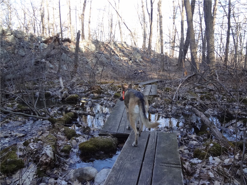
| After leaving the coast, the trail goes through woods and becomes quite hilly with switchbacks going through Rod's Valley. |
 |
| Lost Boulder on the Lost Boulder Trail. |
 |
| Paumanok Path goes through mountain laurel tunnels. |
 |
| View of Fort Pond Bay from the overlook above the capped landfill on the left. |
 |
| Split Rock Road |
 |
| Split Rock |
 |
| The day started out foggy, cleared up beautifully as per the weather forecast, then unexpectedly (not forecasted) cold winds and damp fog blew in at the end of the hike. Never did get to see the view of the Atlantic Ocean with is behind all that fog. |
 |
| This incredibly gorgeous area is plagued with litter. I packed out a couple of pieces. Maybe if everyone who hikes through packs out a piece or two, it will be clean someday. |
HIKE SUMMARY:
[ 0.00] Park at Hither Hills Overlook with 180 degree views; with back to Route 27 take trail to left where sign points towards Elisha's Valley, Petticoat Hill Trail and Fresh Pond
[ 0.15] Wood chip surface turns to packed sand on Petticoat Hill Trail
[ 0.20] Keep left towards Elisha's Valley Loop when right goes to the Overlook Bypass Trail
[ 0.40] Petticoat Trail ends at Old North Road, turn right on Old North Road for short distance then left on Elisha's Trail through Elisha's Valley
[ 0.75] Turn right on Old Tar Road short distance, turn left and cross live railroad tracks; in a short distance at next intersection turn right on white-blazed Paumanok Path
[ 1.25] Reach Fresh Pond with short side trails to the left for views
[ 1.35] Paumanok Path leaves Fresh Pond to the right
[ 1.55] Turn left on Fresh Pond Landing Road when white goes to the right and follow to Napeague Bay beachfront
[ 1.65] Turn right on Waterfence Overlook Trail just before Napeague Bay beach; overlook and small parking lot at top of hill
[ 1.75] From Waterfence Overlook turn right through the small parking lot and continue on the access road
[ 1.80] Turn left on the white-blazed Paumanok Path when it crosses over the access road
[ 1.95] Paumanok Path turns left at T-intersection and parallels Long Island Railroad tracks
[ 2.45] Keep straight when unmarked trail crosses over
[ 2.50] Trail veers left away from railroad tracks; Indian House ruins on left short distance ahead; white veers right when unmarked comes in from left
[ 2.90] Short side trail to left to view of Napeague Bay
[ 3.50] Paumanok Path turns left on Old North Road following white blazes and green diamonds
[ 3.55] Turn left to Quincetree Landing, beach level overlook; retrace
[ 3.80] Continue left on white/green
[ 3.90] Turn left to the Notch, overlook from a bluff; retrace
[ 4.15] Continue left on white/green
[ 4.50] Paumanok Path leaves woods road to left on footpath (Coastal Trail on map)
[ 4.85] Turn left on unmarked trail when white continues straight
[ 5.00] Grassy overlook on left at Duck Bluff; turn right in unmarked trail (not on map) briefly to rejoin white-blazed Paumanok Path; turn left on Paumanok Path
[ 5.35] Veer left at fork, right goes to picnic area
[ 5.70] Paumanok Path rejoins green-blazed Old North Road
[ 5.85] Short side trail to left to Dyer's Landing; retrace
[ 5.90] Continue left on white/green
[ 5.95] Paumanok Path turns right through Jack Cord's Valley (keep straight for .65 mile total out and back to the end of the pier at Rod's Valley)
[ 6.20] Cross live LIRR tracks (Redmond's Path on map), cross over sand road, then at fork keep right
[ 6.40] Paumanok Path turns left on a fire road (Riah's Ridge Trail on map), climbs over ridge and descends
[ 6.65] Cross Rod's Valley Road and ascend to Riah's Ridge
[ 6.75] Keep right at unmarked fork (not on map), blazes start up again short distance ahead
[ 7.05] Paumanok Path turns left on Flaggy Hole Road, now following white rectangle and blue diamond
[ 7.20] Paumanok Path leaves Flaggy Hole Road to right on Lost Boulder Trail
[ 7.35] Lost Boulder
[ 7.55] Paumanok Path turns right on Flaggy Hole Road
[ 7.65] Paumanok Path turns right on foot path just before Flaggy Hole Road ends at Powerline Road
[ 7.75] Keep right at unmarked fork, blazes start up again short distance ahead
[ 7.80] Cross woods road with capped landfill visible to the right
[ 7.85] Cross first fork of woods road that comes in from the left, turn right on second fork
[ 8.00] Cross sand road then keep right entering Laurel Canyon
[ 8.15] At bottom of switchback, keep right when trail not on map comes in from left
[ 8.25] Seasonal views of Fort Pond Bay at top of incline then trail switchbacks down into Laurel Canyon
[ 8.55] Trail turns sharply left - marked but easy to miss if not paying attention because a trail continues straight also
[ 8.70] Paumanok Path turns right on Upland Road briefly then leaves to the left
[ 8.90] Overlook above the capped landfill with views of Fort Pond Bay
[ 9.15] Keep left at unmarked fork
[ 9.20] Turn right on Parkway Trail leaving the Paumanok Path when Paumanok Path continues to the left
[ 9.40] Cross recycling center road and continue through small hiker parking lot on yellow-blazed Split Rock Road
[ 9.65] Keep right at fork
[ 9.80] Keep left on yellow Split Rock Road when Midland Road goes right
[ 9.90] Keep straight when a trail comes in from the left
[10.25] Keep left when red-blazed Ram Level Loop goes right
[10.50] Split Rock
[11.00] Turn right on Parkway Trail when Split Rock Road ends
[11.20] Cross Powerline Road then Serpent's Back Trail
[11.30] Back at Hither Hills Overlook parking


