Joppenbergh Mountain - Wallkill Valley Land Trust
DIRECTIONS:
GPS Coordinates 41.84526, -74.08167
 |
| Back of the parking lot at Willow Kiln Park. |
TRAIL MAP:
Joppenbergh Mountain Trail Map - Wallkill Valley Land Trust
DISTANCES:
HIKE: Joppenbergh Mountain - 2.1 miles
THE HIKE:
 |
| Brodie spending the day at the grandkids' house since I would be away all day long. |
 |
| Starting the hike on Joppenbergh Mountain. |

 |
| I would be coming back from the Overlook Trail; keeping to the right hiking a perimeter loop. |
 |
| I noticed this flowering tree that I don't think I have ever seen before. There was only one such tree. |
 |
| It's a Northern Catalpa tree. |
 |
| Keeping right on the red Buteo Trail. |


 |
| Right on the purple trail that goes steeply downhill. |


 |
| Purple turns left ... |
 |
| ... keeping straight on yellow. |
 |
| This goes steeply uphill. |

 |
| Then steeply downhill. |
 |
| This rock outcrop is the overlook but there is a short trail just before it that provides a much better view. |
 |
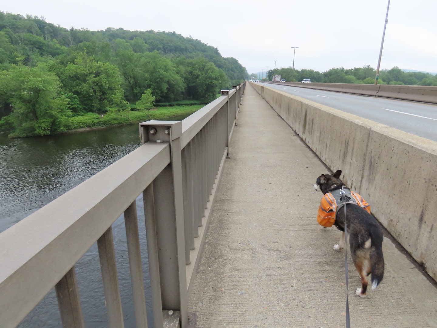
| Rosendale Trestle over Roundout Creek where I would be headed next after this hike. |
 |
| A more obstructed view from the rock outcrop. |
 |
| Continuing on the yellow trail. |


 |
| Back at the gravel trail ... |
 |
| ... to Willow Kiln Park. |