

ABOUT THE PARK:
Stony Valley Rail Trail
DIRECTIONS:
GPS Coordinates 40.526446, -76.537096
 |
| Stony Valley Rail Trail Parking off of Gold Mine Road, eastern side |
TRAIL MAP:
State Game Lands 211 Map 3
Powered by Wikiloc
HIKE DISTANCE: 5.4 miles total out and back
THE HIKE:
 |
| Heading east on the Stony Valley Rail Trail towards Lebanon Reservoir. |


 |
| Cascades coming down and heading towards Evening Branch, |
 |
| An orange marker every so often. |
 |
| Some railroad remnants. |
 |
| A little bit of wet trail but just the one time and that is after a week of multiple thunderstorms and lots of flooding in the area. |

 |
| There are several side trail down to Evening Branch. |
 |
| We'll be seeing this water later down at the reservoir. |


 |
| In the space between the rail trail and Evening Branch, lots of evidence of recent flooding by the debris hung up on tree trunks. |
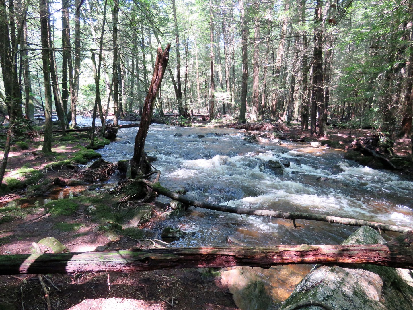 |
| Pictures of the raging water don't do it justice This calls for a video. |
 |
| Coming up on Lebanon Reservoir |
 |
| Just after the no swimming sign, a trail to the left ... |
 |
| ... down to the reservoir. |
 |
| Lebanon Reservoir |
 |
| I think this might be the adult stage of those red efts that are always on the trail. They go back in the water as adults. |
 |
| Continuing on along the reservoir but there isn't much to see. |

 |
| The end, well, the end of how far you are allowed to go. |
 |
| Heading back to ... |
 |
| ... that spot with the nice reservoir view. |

 |
| Taking a break here. |


 |
| We have some very friendly fish onlookers. |

 |
| Heading back. |


 |
| There is supposed to be a pipeline cut that leads to the Chinese Wall but it looks too overgrown to me, not to mention having to cross Evening branch which would not be possible with the raging water. |


 |
| Back at the parking lot. |