ABOUT THE PARK:
Hudson Highlands State Park - New York State Office of Parks and Recreation
Manitoga - The Russel Wright Design Center
Castle Rock Unique Area - NY Department of Environmental Conservation
Glenclyffe - Open Space Institute
Arden Point - Open Space Institute
DIRECTIONS:
Parking at Manitoga GPS Coordinates 41.348922, -73.953548
$5 recommended donation can be left in slot next to trail register at the Guide House
View Larger Map
TRAIL MAP:
East Hudson Trails Map #101 - NY/NJ Trail Conference
 |
| Manitoga Trails (click to enlarge) |
 |
| Glenclyffe Loop Trails (click to enlarge) |
HIKE DISTANCES:
Manitoga - Sugarloaf Hill - Castle Rock - Glenclyffe - Arden Point Loop: 13.5 miles
Manitoga - Sugarloaf Hill - Castle Rock Loop: 10 miles
Manitoga - Sugarloaf Hill on Osborn Loop: 8 miles
HIKE DESCRIPTION:
Although this is a pleasant hike in the summer many of the views are obstructed by foliage. Go when the leaves are down for the best views.
The hike starts at Manitoga.
 |
| Dragon Rock |
 |
| Trail starts as white/blue/red. |
 |
| Studio as seen from yellow side trail. |
 |
| Lost Pond |
 |
| From Lost Pond follow Manitoga's AT markers to the Osborn Loop. |
 |
| Left on the Osborn Loop in Hudson Highlands State Park |
 |
| Blue-Blazed Osborn Loop Trail |
 |
| A left on the red-blazed Sugarloaf Trail cimbs to south views of Anthony's Nose and Bear Mountain Bridge from Sugarloaf Hill. |
 |
| Red markers of the Suglarloaf Trail. |
 |
| Gazebo on the red-blazed Sugarloaf Trail where trail turns left to cross a meadow at Castle Rock Unique Area. |
 |
| Heading towards the Hudson River through field at Castle Rock Unique Area. |
 |
| Castle Rock |
 |
| Exit the blue/red Castle Rock Trail at the Castle Rock pillar and cross over Route 9D. |
 |
| Sign along Route 9D |
 |
| Turn right and walk north along Route 9D briefly then turn left before the Garrison Institute sign. |
The beginning of the
Marcia's Mile Trail is behind the map. You have to duck under the beautiful, large evergreen tree to find the marker. If you pass the 10 mph speed limit sign, you just missed that tree.
 |
| Marcia's Mile marker on large tree behind trail map. |
 |
| This sign is a little farther along the trail. |
 |
| When turning right at this sign heading towards Arden Point, watch a few steps along for stone steps leaving to the left. Make note of that trail as the turn is not marked and this will be the trail to take after returning from Arden Point. |
 |
| At the end of Marcia's Mile turn left and cross the bridge over the railroad tracks to Ardens Point. |
 |
| Blue-Blazed Trail at Arden Point |
 |
| View North from Arden Point |
 |
| Hudson River and West Point from Arden Point (click picture to enlarge) |
 |
| View South from Arden Point |
 |
| Gazebo on the Glenclyffe Loop |
 |
| View West from Glenclyffe Loop |
 |
| View From Glenclyffe Loop |
 |
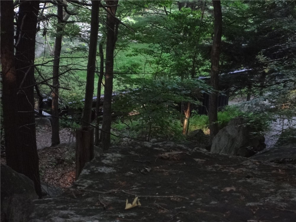
| Historic Overlook (obstructed by foliage) of Benedict Arnold's escape point at the Hudson River. |
 |
| The trail follows part of Benedict Arnold's historic escape route. |
The red-blazed Glenclyffe Loop Trail comes out at a mowed lawn. Turn right and head towards Route 9D then turn left and and follow Route 9D a short distance before crossing over at the Castle Rock and Wing and Wing pillars. Follow the signs for the parking lot as you proceed along the blue-blazed trail. Continue following the blue markers through a meadow.
 |
| The blue-blazed trail crosses through meadows with lots of birds and butterflies with better views of the castle. |
 |
| Monarch Butterfly at Castle Rock Unique Area |
Because the field was very overgrown blue markers fizzled out but keeping straight through the meadow, go up small incline into the woods up on an umarked woods road with the state property boundary signs to the left. Turn right and follow this unmarked road through the woods straight to the red trail at the gazebo.
Continue on the red-blazed Sugarloaf Trail back to the intersection with the blue-blazed Osborn Loop Trail, then continue straight on the blue-blazed trail towards another gazebo.
The blue-blazed Osborn Loop Trail ends at the white-blazed Appalachian Trail. Turn right and follow the AT until you reach the beginning of the Osborn Loop which will bring you back to Manitoga.
 |
| Black Rat Snake on the Appalachian Trail |
 |
| Back to Manitoga from Osborn Loop Trail |
 |
| Bench at end of yellow overlook trail on return route in Manitoga. |
HIKE SUMMARY:
[ 0.00] Follow signs to Dragon Rock then return to parking lot
[ 0.20] From parking lot follow "Paths" sign to map, pick up red/white/blue trail to left of map
[ 0.50] Left on yellow to view of studio; retrace
[ 0.60] Left on red/white/blue from yellow
[ 0.65] Straight on white/red when blue leaves to the right
[ 0.75] Straight on white when red leaves to right
[ 0.90] Yellow marker on right to partial view
[ 1.20] Stay to right of Lost Pond; start following round white AT markers
[ 1.30] At intersection with cairn, turn left on blue-blazed Osborn Loop Trail
[ 1.40] Straight on blue when yellow-blazed Curry Pond Trail goes right
[ 2.15] Confusing section: After walking through sawed blowdown, no blazes and trail seems to fizzle out. Turn left beyond blowdown and head towards white Appalachian Trail survey marker sticking up out of the ground. Beyond that the blue blazes start again as trail follows old stone wall.
[ 3.00] At 4-way intersection turn left on red-blazed Sugarloaf Trail
[ 3.40] Sugarloaf Hill overlook; retrace
[ 3.80] Back at intersection turn left to stay on red-blazed Sugarloaf Trail***
*** for 8 mile hike, turn right and take the left blue-blazed Osborn Loop
Trail; continue from 9.35 mile point below
[ 4.80] Gazebo on right; turn left opposite gazebo leaving woods road and heading downhill to continue on red-blazed trail across meadow
[ 4.95] Exit meadow and turn right on gravel road; views of Castle Rock to right
[ 5.05] Left at fork when blue comes in from left***, now on red/blue combined towards Route 9D; cross over 9D, turn right briefly then left on paved road in front of Garrison Institute sign
*** for 10 mile hike, turn right towards parking lot and continue from
8.35 mile point below
[ 5.15] Proceed beyond map and look for round white marker on tree before 10 mph speed limit sign; follow white discs of Marcia's Mile.
[ 5.50] Pass pond on right; at field keep straight along left side of field as trail reenters woods at far end of field (unmarked)
[ 5.60] Keep right at fork
[ 5.70] At T-intersection turn right towards Arden Point (watch for stone steps leaving to left and make note of for later in the hike)
[ 5.90] At end of Marcia's Mile turn left and cross footbridge over railroad tracks; right on blue-blazed trail
[ 6.15] Blue trail ends at red-blazed trail; turn right on red
[ 6.20] View at north end of Arden Point; retrace
[ 6.05] Keep straight on red when blue starts to the left
[ 6.35] Short side trail to the right to views
[ 6.40] Red turns left; short side trail to right to view
[ 6.75] Turn right to cross back over footbridge over railroad tracks; right on Marcia's Mile
[ 6.95] Make sharp right turn up stone steps just before intersection - unmarked (steps noted earlier); trail leads to large gazebo; continue on red trail beyond gazebo
[ 7.15] Watch for red trail to turn left after crossing section of bare rock
[ 7.55] Turn right at intersection following sign to historic overlook; deck with obstructed view at overlook (site of Benedict Arnold's escape); retrace and continue right at fork on red trail
[ 7.90] Kiosk with historical trail information
[ 8.10] Trail comes out on mowed lawn, turn right towards Route 9D; left along 9D briefly
[ 8.15] Cross over at Castle Rock/Wing and Wing pillars and follow gravel red/blue-blazed road between pillars towards parking lot
[ 8.25] Take left fork towards parking lot
[ 8.35] Proceed through parking lot following blue blazes across meadow
[ 8.55] Keep straight through meadow, enter woods uphill on to woods road, turn right and follow woods road to red-blazed Sugarloaf Trail at gazebo
[ 8.75] Gazebo on left, continue straight on red trail (other side of red trail comes in from meadow at the left - if blue blazes were followed through meadow, this is where you would arrive at the gazebo and would turn right on woods road to continue on red trail)
[ 9.35] Arrive at 4-way intersection where red continues to the right to Sugarloaf Hill - keep left on blue (the blue to the right is the trail you first came in on); gazebo on left up ahead
[ 9.70] Keep right on blue when yellow goes straight
[10.60] When the blue trail ends, turn right on the white-blazed Appalachian Trail
[11.80] Turn right on blue-blazed Osborn Loop Trail
[12.40] Turn left at Manitoga sign; look for markers going the other way as there are none in this direction; head slightly right towards Lost Pond; pick up white discs to the left at Lost Pond
[12.80] Yellow trail to left to overlook
[13.00] Arrive at overlook with partial view and bench; retrace
[13.20] Left on white trail to continue
[13.25] Left on red/white/blue combined trail when red/blue comes in from right
[13.50] Manitoga parking lot