Showing posts with label NY Bear Mountain State Park. Show all posts

Friday, December 30, 2011

Bear Mountain State Park, NY - Appalachian Trail to Hessian Lake


ABOUT THE PARK:
Bear Mountain State Park - Palisades Park Conservancy
Rebuilt Section of Appalachian Trail at Bear Mountain - NY/NJ Trail Conference

DIRECTIONS:
GPS Coordinates 41.304258, -74.01571

View Larger Map
A narrow paved drive leads from Seven Lakes Drive to a hiker parking lot with room for about 10 cars.  This is a no fee parking lot where fees are charged for other Bear Mountain State Park lots.

TRAIL MAP:
Northern Harriman Bear Mountain Trails Map #119 - NY/NJ Trail Conference
Bear Mountain Day Hikes Map (free map) - NY/NJ Trail Conference

HIKE DISTANCE:  8 miles

APPALACHIAN TRAIL SECTION HIKING:
TrailHeadFinder.com - AT section miles 1379.7 to 1383.4

PEAK BAGGING:
Bear Mountain - Peakery.com

THE HIKE:
During the winter Perkins Memorial Drive to the top of Bear Mountain is closed so there is no traffic and no crowds.

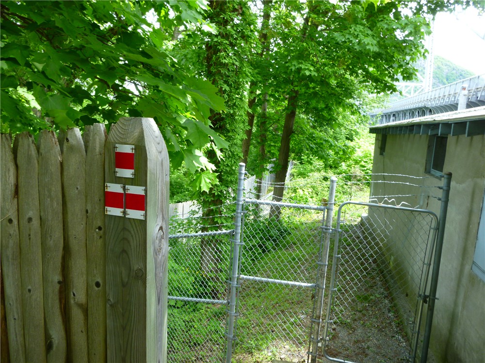
Facing the barrier at the end of the parking lot, turn left on the 1777W Trail which will merge with the white-blazed Appalachian Trail and left just before the Appalachian Trail crosses over Seven Lakes Drive.
The Appalachian Trail ascends Bear Mountain on foot paths, old paved roads and steps.

The mountains of Harriman State Park from the Appalachian Trail.
The Hudson Valley from Bear Mountain.
The Appalachian Trail is handicapped accessible at the top of Bear Mountain.
Perkins Tower
The New York City skyline from in front of Perkins Tower.
A deer on Bear Mountain.
Bear Mountain Bridge seen descending on the Appalachian Trail.
Hessian Lake
A Pileated Woodpecker near Hessian Lake.
The ice skating rink is visible from the yellow-blazed Suffern-Bear Mountain Trail.


HIKE SUMMARY:
[  0.00]  Facing barrier at end of lot, turn left on 1777W trail
[  0.10]  White-blazed AT joins in from right
[  0.20]  Left on white-blazed AT when 1777W trail leaves to the right
[  0.25]  Cross Seven Lakes Drive
[  0.80]  Cross paved Perkins Memorial Drive (closed in winter)
[  0.85]  AT changes from woods road to old paved road
[  1.10]  AT leaves old paved road to left up steps
[  1.65]  Keep straight when the blue-blazed short cut trail goes right
[  2.00]  AT becomes handicapped accessible; keep straight on AT when shortcut to Major Welch trail goes left
[  2.30]  Perkins Tower
[  2.65]  Cross paved Perkins Memorial Drive
[  2.95]  Turn right at Perkins Memorial Drive and follow road
[  3.20]  At circle, AT leaves to the right
[  4.20]  At bottom of steps, AT follows old gravel/paved road to the left
[  4.35]  Yellow-blazed Suffern-Bear Mountain Trail comes in from right; turn left on red circle on white Major Welch Trail
[  4.70]  Major Welch Trail leaves paved path to the left, keep straight on paved path around Hessian Lake
[  5.55]  Appalachian Trail comes in from the left and continues on paved lake path
[  5.75]  Left on yellow-blazed Suffern-Bear Mountain Trail when white-blazed AT goes right
[  6.05]  Rock hop over creek
[  6.60]  Cross Seven Lakes Drive
[  7.20]  Yellow trail turns right at Doodletown map sign; few steps ahead keep right on 1777W when yellow goes left
[  7.75]  Appalachian Trail joins 1777W from the right
[  7.90]  Appalachian Trail leaves 1777W to the left
[  8.00]  Back at parking lot

Sunday, May 22, 2011

Bear Mountain State Park, NY - Popolopen Torne over Bear Mountain Bridge to Anthony's Nose


ABOUT THE PARK: 
Bear Mountain State Park - NY State Office of Parks, Recreation and Historic Preservation

DIRECTIONS:
GPS coordinates 41.324232, -74.007425

View Larger Map
There is room for 2-3, maybe 4 cars depending on how people park. Turn into the parking area at the mailbox with number 284.

TRAIL MAP:
Northern Harriman Bear Mountain Trails Map #119 - NY/NJ Trail Conference

HIKE DISTANCE:  9.65 miles
Some shorter versions:
5 miles - Popolopen Torne and Popolopen Gorge Loop - NY/NJ Trail Conference
4.3 miles - Camp Smith Trail to Anthony's Nose - NY/NJ Trail Conference

HIKE DESCRIPTION:

PLEASE NOTE:  TRAILS USED FOR PART OF THIS HIKE WILL BE CLOSED FROM FALL 2011 THROUGH SPRING 2012 AND THE BRIDGE OVER POPOLOPEN CREEK WAS DESTROYED BY HURRICANE IRENE - CLICK HERE FOR MORE INFORMATION

UPDATE:  As of 12/6/2012 a new bridge is in placeCLICK HERE FOR DETAILS. 

The hike starts by crossing Mine Road and ascending Popolopen Torne on the blue-blazed trail.
Bear Mountain Bridge and Anthony's Nose from Popolopen Torne
Tribute to American Soldiers on Popolopen Torne
 The trail descends very steeply into Poplopen Gorge, also known as Hell Hole.
Raging water after 5 days of rain completely drowns out nearby traffic noise.


Red on White Popolopen Gorge Trail Along Popolopen Creek
Appalachian Trail Sign at Bear Mountain Bridge Tollbooths
Crossing Bear Mountain Bridge on the Appalachian Trail
Hudson View from Bear Mountain Bridge
Appalachian Trail Leaves Rt. 9D and Ascends Anthony's Nose
View From First Side Trail on Anthony's Nose
View From Anthony's Nose
View South From Anthony's Nose
After retracing and crossing back over Bear Mountain Bridge, make a sharp right turn just beyond the end of the bridge railing opposite the toll booths and descend on the red on white trail.
Left on the blue line on white trail brings you to the suspension footbridge.

View From Suspension Footbridge
The blue line on white trail ends at Fort Montogomery where you pick up the historic 1777/1779/blue-blazed trails.
A scenic loop around Brooks Lake brings you back to the 1777/1779/blue trail to finish up above along the Popolopen Gorge.

HIKE SUMMARY:
[  0.00]  Cross Mine Road, turn left and walk along Mine Road 50 feet, turn right on blue-blazed trail up stone steps
[  0.60]  American Soldiers Tribute on top of Popolopen Torne
[  0.80]  Cross straight over paved Mine Road and continue under guardrail on blue-blazed trail
[  0.90]  Cross straight over dirt road; after short distance right on 1777/1779/blue-blazed trail parallel to Popolopen Creek
[  1.00]  Trail turns left down rock steps to bridge over Popolopen Creek
[  1.05]  Turn left on red on white-blazed Popolopen Gorge Trail
[  1.80]  Trail turns left before small creek and switchbacks down towards Popolopen Creek
[  2.30]  Clearing to left with view of falls
[  2.45]  Come out at small clearing and veer left towards Route 9W; right on Route 9W, at end of guardrail turn left and carefully cross side street then VERY CAREFULLY cross 9W - traffic zooms FAST here; continue on sidewalk towards traffic circle following around to the left to Bear Mountain Bridge
[  2.70]  Tollbooths on Bear Mountain Bridge; continue across Bridge following white Appalachian Trail blazes
[  3.20]  Veer left on 9D after crossing bridge; stay on left side
[  3.30]  Cross over to right at pedestrian crossing sign
[  3.40]  Turn right into woods where white-blazed A.T. leaves Route 9W at the A.T. sign and kiosk
[  3.75]  Turn right on woods road blue-blazed trail when white goes left; trail register on left after turn
[  4.25]  Side trail to right to views beyond old footings; retrace and continue right on blue trail
[  4.50]  Right to rock outcrop views; retrace and turn left on blue to proceed back to bridge
[  5.10]  Blue trail ends at register, left on white-blazed A.T.
[  5.55]  Left on Route 9W at kiosk, stay on left side of road; cross to other side when shoulder becomes wider where cars are parked
[  6.20]  Other side of bridge opposite toll booths at end of railing, make sharp right down steps on red on white trail
[  6.30]  Left on blue on white trail at NO TRESPASSING sign
[  6.40]  Cross small bridge over creek
[  6.50]  Cross suspension footbridge
[  6.70]  Fort Montgomery; keep to the left through the parking lot, veer left up stone steps on to 1777/1779/blue-blazed trail
[  6.80]  Trail goes under Route 9W
[  6.95]  Turn left on Mine Road briefly then keep straight on trail into woods as Mine Road turns right
[  7.15]  Turn left on Mine Road short distance then turn right as trail leaves Mine Road
[  7.25]  Keep straight on red square on white trail when 1777/1779/blue trails go left over boards; loop around Brooks Lake
[  8.20]  Right on 1777/1779/blue trail when left goes over boards
[  8.40]  Right on Mine Road
[  8.50]  Left on trail just past intersection with Wildwood Ridge Road
[  9.25]  A trail goes sharply to the right but blazes blacked out***;  a little farther along, blue trail leaves to the right up stone steps - have to watch carefully for turn (this is the trail from beginning of the hike}
[  9.45]  Cross gravel road
[  9.55]  Go under guardrail, turn right on Mine Road and follow back to parking area on right
[  9.65]  Arrive back at parking area

*** This might be the other side of the blue trail that comes out in the parking lot.  I did not take it since the blazes were blacked out at the intersection.

Sunday, August 15, 2010

West Mountain/The Timp/Doodletown - Bear Mountain and Harriman State Parks, NY


ABOUT THE PARK:
NY/NJ Trail Conference Harriman-Bear Mountain State Parks
NY State Parks - Bear Mountain State Park
NY State Parks - Harriman State Park

TRAIL MAP:
NY/NJ Trail Conference Northern Harriman Bear Mountain Trails Map #119 (recommended)
New York State Parks - Bear Mountain State Park Trail Map

DIRECTIONS:
I-87/I-287 (New York State Thruway) to exit 13N (Palisades Interstate Parkway North); after 15 miles on Palisades Interstate Parkway North, exit 19 for US-6 East, keep right on Seven Lakes Drive; watch for narrow paved road on right (pictured below) in about .4 miles and turn right - no signs but this is the parking lot which holds about 12 cars.

GPS coordinates: 41.304258, -74.01571

HIKE DISTANCE: 7.3 miles (1st half moderate/strenuous, 2nd half easy)

HIKE DIRECTIONS:
NOTE: It seems that due to vandalism trail markers are often removed in these parks. I will note those areas and how to tell if you have gone too far.

Facing the barrier at the far end of the parking lot, take the white disk with red 1777W trail to the left.


Keep left on the 1777W trail at both of the forks (unmarked).

.25 miles - the 1777W trail turns right merging with the white-blazed Appalachian Trail for a short distance. When the trails split, stay right on the white-blazed A.T. leaving the 1777W trail.


.8 miles - after a steep uphill climb the white-blazed A.T. turns left; after another brief climb you arrive at east facing views of Bear Mountain with Perkins Tower and the Hudson River.


After another short uphill climb the blue-blazed Timp-Torne trail joins the white-blazed A.T. from the right, keep left on the blue/white trail to views facing west.


This trail continues along a ridge with several more west-facing views of Harriman State Park and the Palisades Parkway, which provides some traffic noise for a while until the trail leaves the ridge.


1.8 miles - At the trail junction sign, keep left on the blue-blazed Timp-Torne Trail when the white-blazed A.T. continues to the right.


A yellow trail will join for a while then branch off - continue on the blue-blazed trail.

2.3 miles - Arrive at the West Mountain shelter with great views of the Hudson and the New York City skyline.


Nice, shady break spot downhill a little bit beyond the shelter with great Hudson views and lots of overhead flight activity:


2.8 miles - after descending West Mountain, watch for the blue-blazed trail to make a left turn. An unmarked trail will go to the right. Although the turn is blazed on a tree, this turn is easy to miss if you are not paying close attention. If you end up at an intersection with the red-dot-on-white and red-cross-on-white trails, you missed the turn.

3.4 miles - arrive at The Timp summit with views of the Hudson River and the New York City skyline. You can also look back over at West Mountain and see the shelter you were at previously.


Stay on the blue-blazed trail as the red-dot-on-white trail crosses over.

4.4 miles - arrive at an unmarked intersection with a cairn in the middle. When you look to the left you will not see any markers on the trees. This is, however, where you turn left. You will not see markers for the 1777 trail until you walk farther down the trail.


If you come to this series of stone steps going up along a vertical rock wall, you missed the turn and need to backtrack.


The 1777 trail takes you through Doodletown, now an abandoned ghost town. Signs posted along the way point out interesting facts and sometimes show drawings or pictures of the homes which once stood at those sites.


There are also some old cemeteries. The oldest tombstone I saw was dated 1816 but there were many older stones which were illegible.


If you want to spend time more thoroughly exploring Doodletown, you might want to print out the map below from Wikipedia as we saw a note saying the sign you would come to as you entered Doodletown was removed by vandals.


6.0 miles (not counting walking around Doodletown) the 1777 trail splits off into the 1777W and 1777E trails at the sign:

Take the 1777W trail to the left.

6.5 miles - stay on the 1777W trail as the yellow-blazed trail crosses over.

7.0 miles - the white-blazed Appalachian Trail joins from the left briefly; keep left on the 1777W trail as it leaves the A.T. after a short distance.

Keep right at the two unmarked forks.

7.3 miles - arrive back at the parking lot.