Showing posts with label NJ Batona Trail. Show all posts

Sunday, March 1, 2020

Brendan Byrne State Forest, NJ - Batona Trail Route 70 to Park Office


ABOUT THE PARK: 
Brendan T. Byrne State Forest - NJ Department of Environmental Protection

DIRECTIONS:
GPS Coordinates 39.892681, -74.581814
Parking at a small picnic area just off of Route 72.

TRAIL MAP:
Brendan T. Byrne State Forest Trail Map - NJ Division of Parks and Forests
Powered by Wikiloc

HIKE DISTANCE:  3 miles

THE HIKE:
Three years ago when Shawnee and I hiked the Batona Trail from the northern terminus to Route 70 I missed a 1-mile section from Route 70 to the park office because I did not want to cross VERY busy Route 70 with Shawnee in her wheelchair.  I figured I'd capture that mile another time.  On my way to finish up my last section to complete the Batona Trail in Wharton State Forest, I stopped to get this missing mile in and made a 3-mile loop out of it.
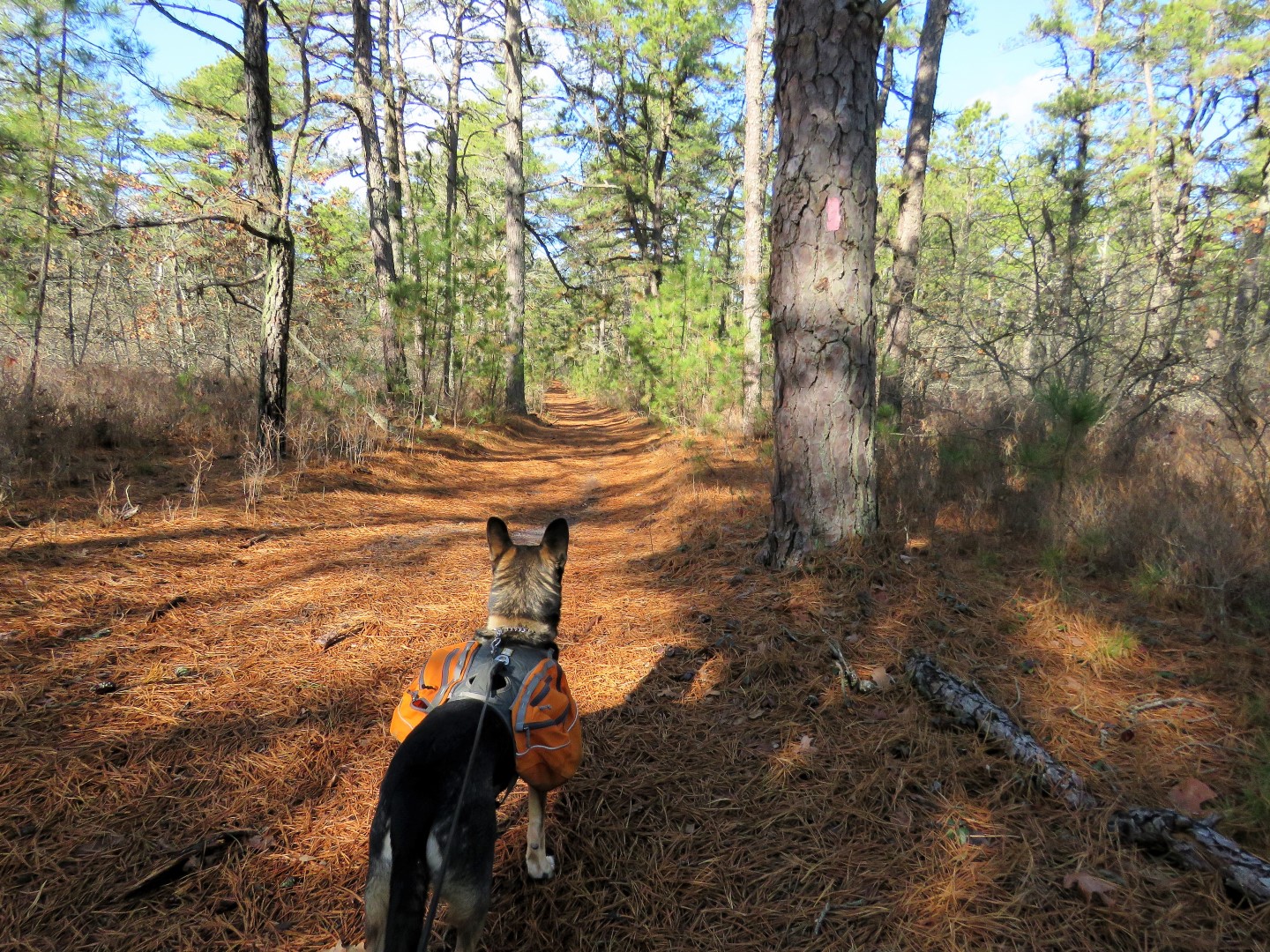
A right on Headquarters Road from the picnic parking to where the Batona Trail crosses over in just a few steps.  We turned left on the Batona Trail and would be returning from the right.
Way off to the left I saw it, balloon #13 of the year.  It had been there a very long time since the print was all faded out.  It is there no more.
Crossing over the Southside Fire Lane where we would be returning in a minute.
At Route 70 connecting up to where Shawnee and I were almost 3 years ago on the other side.
Now back to the Southside Fire Lane where we turned left.
There has been a lot of controlled burning going on in South Jersey so I figured that is what this was.
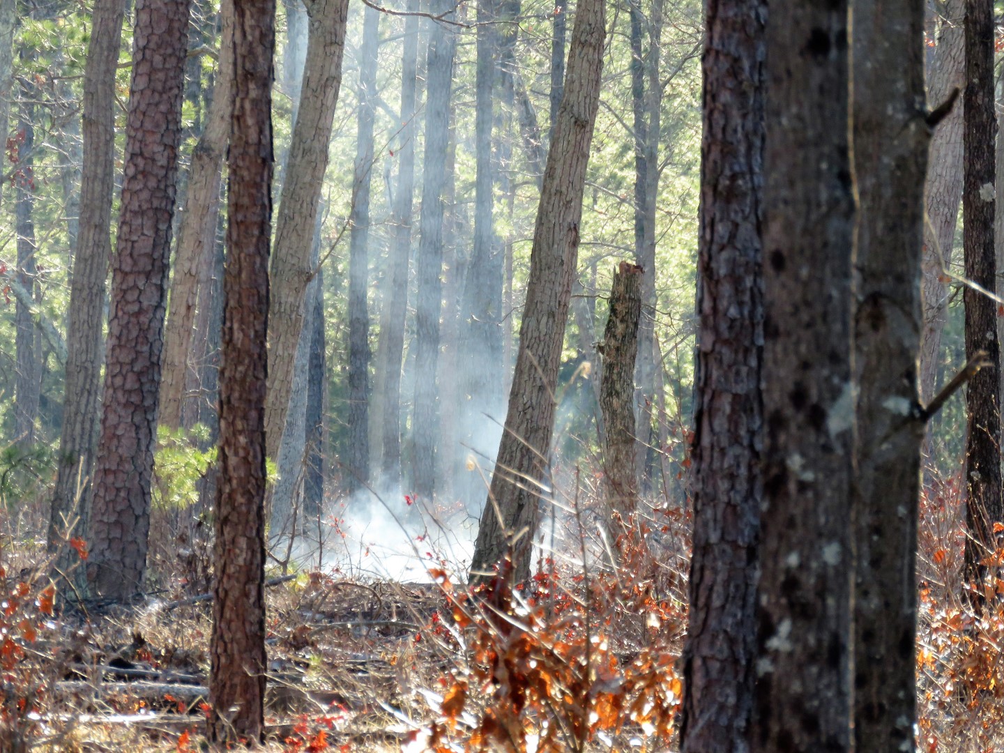
Still some smoldering smoke in the distance.
We turned right on Four Mile Road ...
... then at the next sand road crossing, right on Deerhill Road.
There I found an explanation of what was taking place with the burning.
I don't know if this same forest truck passed us three times or if there were three different trucks.  They all look the same.
Left on Shinns Road which goes past where all of those forest trucks go on the left.
Thinking this might be a very big coyote print.  Figured it wasn't a dog since no human prints were around.
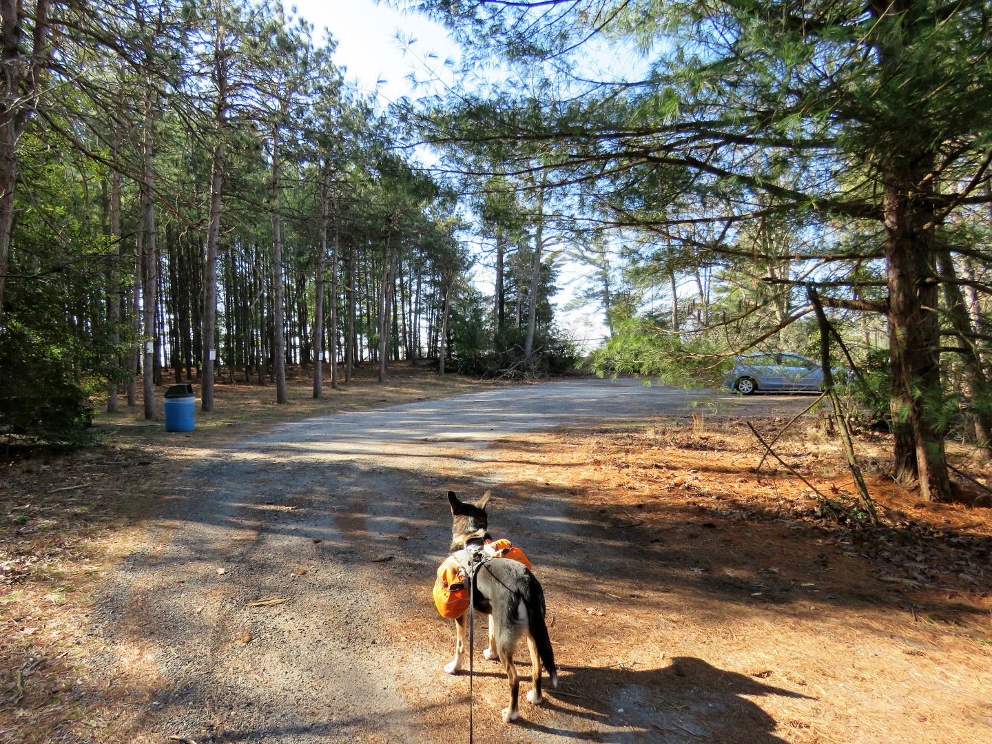
Continuing on to the park office.
With the park office on the left ....
... directly across on the right, access to the Batona Trail.
At this sign we turned right connecting to the Pakim Pond section to the left that Shawnee and I completed almost 5 years ago.
Where the Batona Trail turns right on the sand road, we went straight briefly to ...
... the Lebanon Fire Tower.  It's open and can be climbed but just looking at those spindly steps made me weak in the knees so no thanks.  There is actually a trail right to where we parked from the fire tower but we retraced to capture the last little bit of the Batona Trail.
From the fire tower, left on the sand road part of the Batona Trail ...
... then left on the next sand road back to where we parked.
Now on to finish up our last section of the Batona Trail about a half hour drive away.

Sunday, January 19, 2020

Batona Trail, NJ - Harrisville Pond to Ives Pond


ABOUT THE PARK:
Wharton State Forest - NJ Department of Environmental Protection
Bass River State Forest - NJ Department of Environmental Protection
Harrisville Village Video Tour - Pinelands Preservation Alliance

DIRECTIONS:
GPS Coordinates 39.665251, -74.524247
Parking at Harrisville Pond

TRAIL MAP:
Batona Trail Map - NJ Pine Barrens Forum
Wharton State Forest Map - NJDEP
Bass River State Forest Map - NJDEP
Harrisville Podcast Tour Map - Pinelands Preservation Alliance (only shows Harrisville Pond area)
Powered by Wikiloc

HIKE DISTANCE:  11.5 miles

THE HIKE:
Finding the blue-blazed Lake Trail is a little (a lot) tricky if you don't know where to go.  It is not on the Wharton State Forest map and there are no signs.  So walk out of the parking lot and turn right on Rt. 679.  Walk a short distance then turn right at the Canoe Landing sign just beyond the guardrail.
Walk straight ahead veering slightly left to the brown post which is ...
... the blue-blazed Lake Trail.
There are several spots with nice views of Harrisville Pond.
At the pink Batona Trail arrow ...
... turn right and cross the bridge to ...
... the Batona Trail.  We turned left first because I wanted to get that little section to ...
... Route 679.  There is parking on the other side and that is where I'll be parking to finish my last section of the Batona Trail at another time.
This was just to get this little piece out of the way so back where we came off of the Lake Trail and there is not only one but there are two "Lake Trail" signs here.
Continuing straight (south) on the Batona Trail.
There are mile markers every half mile.
Oswego River
Martha Bridge over the Oswego River
The trail had been very dry up to this point even with snow/sleet/rain the day before.  Once on sand roads there were huge puddles but it was possible to get around all of them.
Entering Bass River State Forest.
I did not lose Brodie.  Apparently there was a shooting range in the vicinity (far, far, away and I could barely hear the gunfire).  We were heading towards the gunfire, which he is TERRIFIED of.  Thunderstorms, fireworks, no problem.  But with gunfire he hides behind me and puts me in the line of fire.  Shawnee would have never.  Just sayin'.
In a sit/stay for the camera.  Under duress.  Note the ears pointed towards the where the far away gunfire is coming from.
There were lots of birds around but only got one in mid flight.
He's back in the lead!  Just in time for ...
Ives Pond
Shawnee and I had left off just the other side of this crossing in April 2017.
We found a little side trail with a log to sit on along the side of Ives Pond.  Gunfire has not ruined his appetite.
Heading back the way we came.
Up front and center now that the gunfire is fading away behind us.
Where the Batona Trail turned right, we continued straight on a sand road called Calico Road.
Oh, look what we have over here.
Balloon #2 of the year.
At the fork we stayed right.
Here we found balloon #3 of the year.
We merged left onto Martha Road following along the canal.
Right on Route 679.
It's not a far road walk back to Harrisville Pond but there is more to see along the way.
On the left, the old Harrisville paper mill ruins.
On the other side of Route 679 is what used to be North Main Street ...
... with gristmill ruins.
I thought that the woods road might lead back to the parking lot which is over there at the far side of the pond but no, there's another dam that is fenced in so we had to backtrack ...
... and continue the road walk on Route 679...
... across the dam at the bridge ...
... and back to the parking lot.
Brodie was quite loaded down with litter which we picked up along the Batona Trail.  It's the sand roads where vehicles are allowed to drive that there are beer bottles and beer cans everywhere!  It's really quite sad where this is otherwise such a pretty area.