ABOUT THE PARK:
Ringwood State Park - NJ Department of Environmental Protection
DIRECTIONS:
GPS Coordinates 41.10797, -74.24447
 |
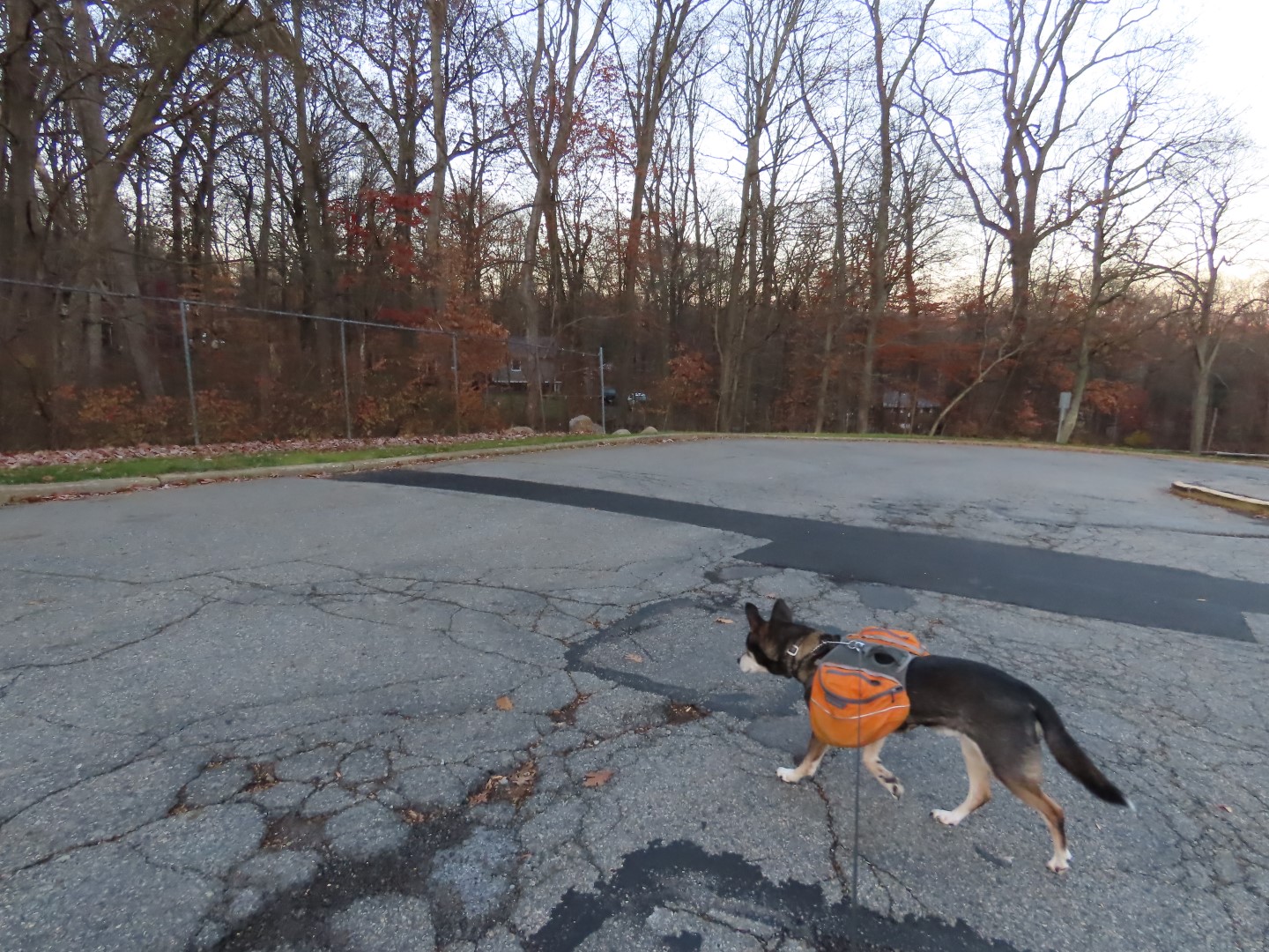
| Parking at Ryerson Middle School |
HIKE DISTANCE: 8.3 miles
THE HIKE:
This hike is on mostly unmarked trails. It really requires planning a route with an app and following that closely as sometimes there are 3-4 different ways to go at intersections and with no trail markers, you have to know which way to go or you either go in circles or way off track.
 |
| To access the trails, walk back towards the parking lot entrance to the end of the fence ... |
 |
| ... then left around the end of the fence. |
 |
| This follows back along the parking lot ... |
 |
| ... to the trails. |
 |
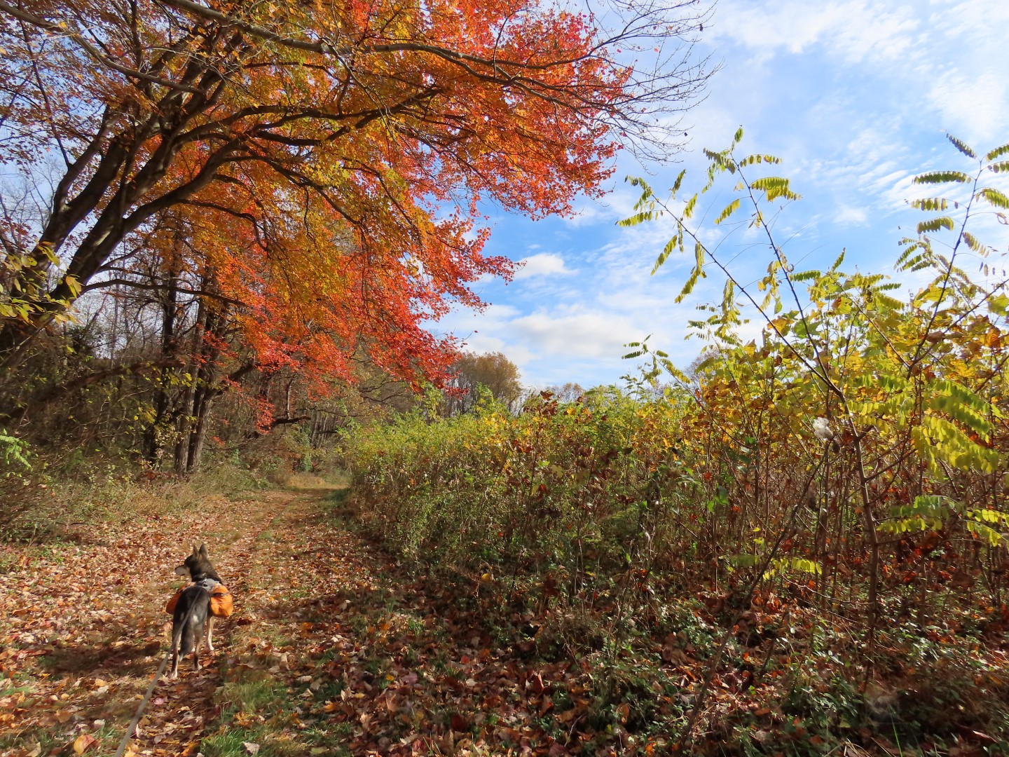
| We turned right to access unmarked single track trails through Catnest Swamp. |


 |
| Not something you would expect to see in the middle of the woods. |

 |
| Pileated Woodpecker |
 |
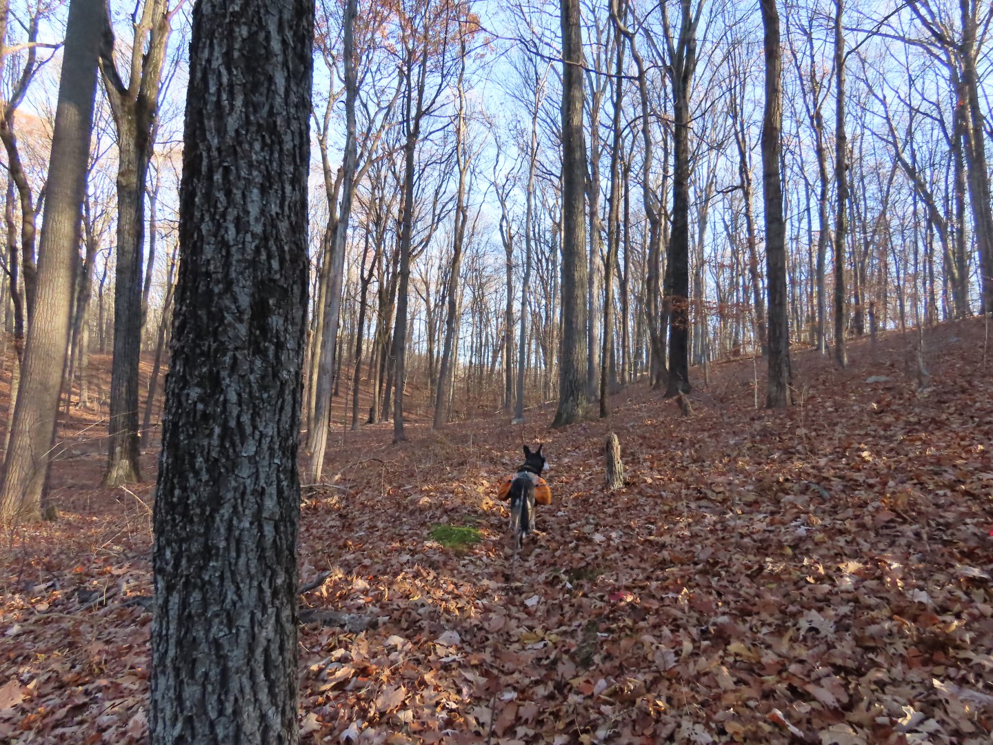
| The woods road climbs to the ridge with winter views. |
 |
| But heading north the gunfire from the shooting range farther north is very loud and that starts at 9 AM on weekends. |
 |
| I had to alter my planned route as it would have headed south them north again and Brodie's gunfire anxiety had kicked in. Not to mention hiking to the sound of incessant gunfire is not my idea of a good time. It's a shame because it's a beautiful area otherwise. |


 |
| Pierson Ridge |


 |
| Having descended into the valley and heading south we could no longer hear the gunfire. |
 |
| Following the marked Five Ponds Trail for a bit. |


 |
| On white ... |
 |
| ... then red to ... |

 |
| Warm Puppy Rock |
 |
| Descending on red ... |
 |
| ... to an unmarked woods road. |
 |
| I was just thinking that the wide open gate was probably the source of illegal ORV riding which had destroyed sections of woods road we had hiked when ... |
 |
| ... well, here you go, enter the illegal dirt bike heading straight for the sign that says NO MOTORIZED VEHICLES. I think a closed gate would have worked better than the sign. |

 |
| Coming back up on Ryerson Middle School. |