

New Jersey unveils first-of-its-kind mountain bike trail at Long Pond Ironworks State Park - News 12 New Jersey
Jungle Habitat Trail Revitalization Project Begins - New York New Jersey Trail Conference
DIRECTIONS:
GPS Coordinates 41.130102, -74.340938
 |
| Large, brand new parking lot. |
TRAIL MAP:
 |
| Because this is still a work in progress, might be a good idea to check for updated maps. |
HIKE DISTANCE: 5.2 miles
THE HIKE:
I labeled this hike as "Jungle Habitat 1" because there are more trails I need to explore and it is the perfect place for me to hike a little over a week after chemo when I have started to get my energy back. There are dirt and paved trails of various difficulty levels so it's easy to choose which ones work at any given time. Because there have been so many trail changes recently, the Gaia app was not completely accurate but still very helpful with navigation.


 |
| We started to the left on the Tapawingo Spur Trail. |


 |
| A new blow down that was easy enough to get over. |


 |
| The Tapawingo Spur Trail continues to the right but we stayed on the old paved road. |


 |
| At some point gray crossed over but I continued straight which was a mistake, should have turned left on gray. |

 |
| I ended up in an overgrown gas pipeline which fortunately had very few sticker bushes in it. |
 |
| View from the gas pipeline. |
 |
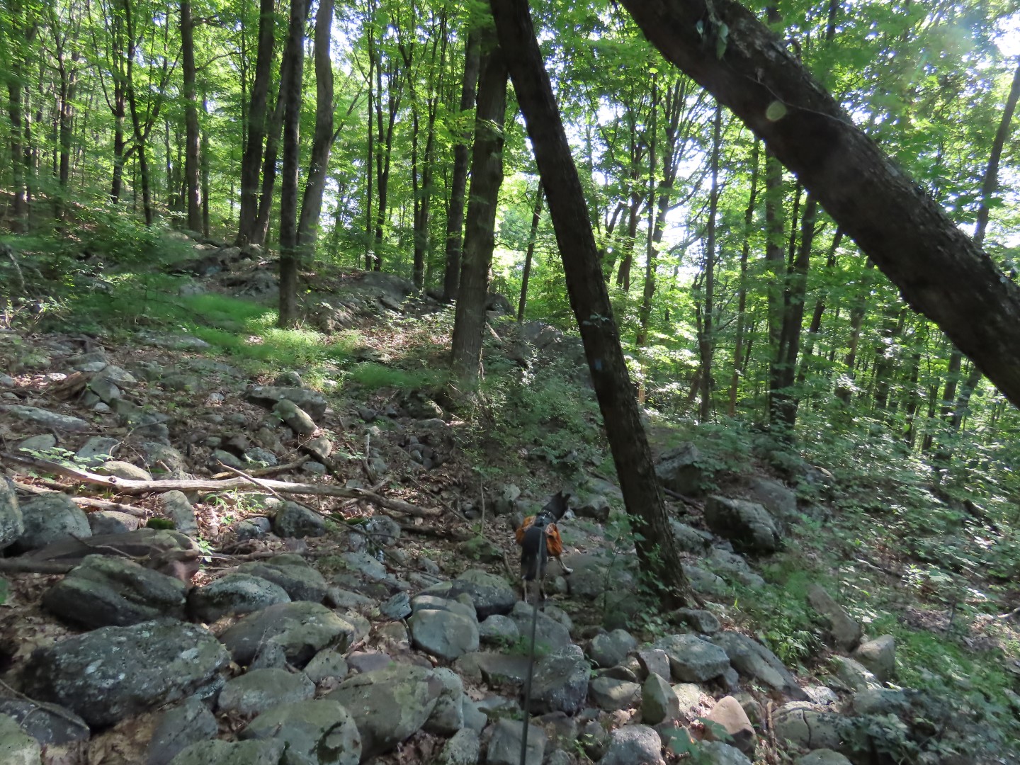
| The woods road I was on fizzled out and began to descend steeply so I knew that was wrong and retraced to find where gray crossed over by navigating with the app as it was not obvious while on the woods road. |
 |
| Once on gray it was very well marked and easy to follow. |
 |
| The thick orange line is my track, the thin orange line the planned route. I went up the woods road in the middle when I should have taken gray (thin orange line) on the left. |


 |
| In the power cut there are no trail markers but I just happened to go the correct way: Right in the power cut then left into the woods. |

 |
| Still on gray even though I had to guess where to go in the power cut. |
 |
| At this intersection we went left on pink. |
 |
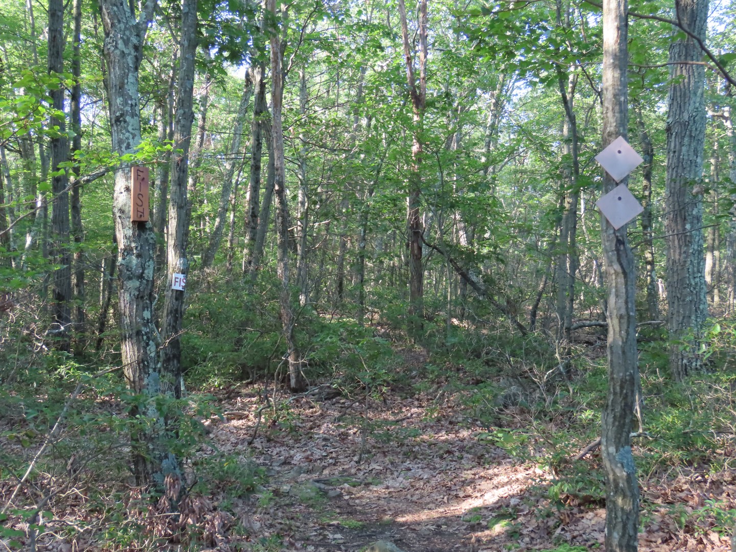
| The trails go through the old animal enclosures multiple times. |

 |
| It was very clear to see where the piece to the right of this huge boulder used to fit up into the larger part of the boulder. |


 |
| Taking a left on the Tapawingo Spur Trail ... |
 |
| ... to it's end at the blue Tapawingo Trail. Here we turned left to go to the overlook. |
 |
| This is part of the JORBA/NYNJ Trail Conference multi-use trail that is in progress. Pretty sure this part is still pending construction since it doesn't look very mountain bikeable to me. |
 |
| At the overlook not much to see with leaves on the trees. |
 |
| Heading back ... |
 |
| ... and continuing on past where we had come in on the spur trail. |
 |
| The Tapawingo Trail joins in with the Stags Trail. |


 |
| The blue Tapawingo Trail leave the Stags trail to the left. We went that way first to an overlook. |

 |
| Again, probably better views when the leaves are down. |
 |
| Retracing back and continuing on Stags to the left. |


 |
| Orange Trail |

 |
| Meeting back up with the Tapawingo Spur Trail. |


 |
| Coming out on the paved road where we had continued to the right at the beginning of the hike. |

 |
| When the Tapawingo Spur Trail left to the right we continued straight following paved roads back to the parking lot. |
