Saturday, September 25, 2021

Buttercup Farm Audubon Sanctuary, NY

ABOUT THE PARK: 
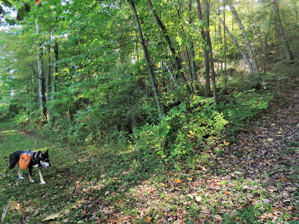
Audubon properties generally do not allow dogs but I could find nothing online.  Since this was on my way home, I stopped by to check at the kiosk and found that leashed dogs are allowed.  Unfortunately, at the end of this hike, the only other people I ran into were abusing this privilege with their dog running amok off leash.  So if you go with a dog check first because it is only a  matter of time before people like that ruin it for everyone else.

DIRECTIONS: 
GPS Coordinates 41.91542, -73.67036
Route 82 trailhead parking - this sits in the middle of the property making it easy to access trails on both sides of Route 82.

TRAIL MAP: 
Buttercup Farm Audubon Sanctuary Trail Map - Dutchess Tourism Trail Maps


HIKE DISTANCE: 3.7 miles
Hiked together with:
Overland Mountain Conservation Area (25 minutes away) - 9.9 miles
Drowned lands Swamp Conservation Area (20 minutes away) - 1.8 miles

THE HIKE: 
Walking out of the parking lot to cross Route 82 to hike trails on the other side first.
The mowed trails are very easy and smooth.
One of only two muddy spots we encountered.
This is a straight trail that has water on either side.
Continuing straight would lead to the other parking lot so we turned left.
Although there were lots of birds around, the mosquitoes were hideous so I could never stop for more than a nanosecond to take pictures.
Stopping at this bench under an apple tree to reapply Deep Woods OFF.
Brodie LOVES apples so while I was busy reapplying bug spray, he snarfed down a whole apple, ants and all.  
Coming back out on Route 82 where we parked.  It was 5:00 PM and there was still a good hour of daylight left so we went through the lot to the right to hike the 2-mile loop on that side.
Mosquitoes were not bad on this side but the light was too poor to get good bird shots.  That would be a northern flicker.
At the top of a gentle climb, two benches at ...
... an overlook of the countryside.
Cedar Waxwing
Back at the car.

Drowned Lands Swamp Conservation Area, NY

ABOUT THE PARK: 
Drowned Lands Conservation Area - Columbia Land Conservancy

DIRECTIONS: 
GPS Coordinates 42.05588, -73.57021
Drowned Lands Conservation Area Parking

TRAIL MAP: 
Drowned Lands Swamp Conservation Area Map (black and white map) - Columbia Land Conservancy
Drowned Lands Swamp Conservation Area Brochure (older version showing colors of trails but also a trail that no longer exists) - Columbia Land Conservancy


HIKE DISTANCE: 1.8 miles (would have been 1.5 but went back to look for a trail that no longer exists)
Hiked together with:
Overmountain Conservation Area (5 minutes away) - 9.9 miles
Buttercup Farm Audubon Sanctuary (20 minutes away) - 3.7 miles

THE HIKE: 
From the parking lot ...
... towards the kiosk ...
... then right to the summit trail.
Passing by the swamp trail on the left.  We would go that way after the summit.
The climb up is pretty steep at times but once there ...
... the views made the climb worthwhile.
Heading back down.
Right on the swamp trail.
This trail is flat until ...
... a little bit of a climb on a trail to the right to ...
... an overlook of the swamp.
Continuing on the swamp trail to ...
... swamp views at the end.
Now straight back all the way to the kiosk.
I had the older version of the map with me and it showed another overlook off of the summit trail that I did not see so I went back up to look for it.  It was nowhere to be found.  When I later looked at the newer black and white map that trail was no long shown so it must have been eliminated.