ABOUT THE PARK:
Minnewaska State Park Preserve - New York State Parks
DIRECTIONS:
This is for the Jenny Lane parking lot (room for 8 cars) which is about a mile farther than the main park entrance so this information can be used to reach the main parking areas also. The parking lots at the main entrance do not open until 9 am and a fee (around $8) is charged. Parking at Jenny Lane adds 1.75 miles to the hike, avoids crowded parking lots at the park, does require fording a stream with no bridge, is accessible before 9am and there is no fee to park.
GPS Coordinates to Jenny Lane Parking: 41.74248,-74.254127
View Larger Map

TRAIL MAP:
Shawangunk Trails Map #104 - New York New Jersey Trail Conference
Minnewaska State Park Hiking Map - New York State Parks
HIKE DISTANCE:
Jenny Lane to Gertrude's Nose - 10.4 miles
Jenny Lane to Gerturde's Nose with Awosting Falls - 10.9 miles
Click here for the New York New Jersey Trail Conference 8-mile version starting from a closer parking lot (subject to parking fee).
THE HIKE:
 |
| Gated Jenny Lane is woods road that leads to... |
 |
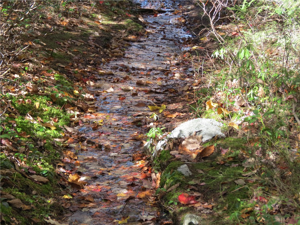
| Sanders Kill where there once was a bridge but it is long gone. |
 |
| There are some rocks a little downstream but I came prepared to ford since I had to do that 2 years ago. |
 |
| Reusable plastic boot covers did the trick... |
 |
| I clipped them to a tree with a clothespin so they would be there when I had to ford back over at the end of the hike. |

 |
| At the main park, the orange-blazed Sunset Carriage Road leads to some previews of the views to come. |
 |
| The Catskills from the Sunset Carriage Road |
 |
| Spectacular fall foliage. |
 |
| The orange Sunset Carriageway leads to the red Minnewaska Lake Loop. |
 |
| Lake Minnewaska |
 |
| From the red Minnewaska Lake Loop to the orange Millbrook Mountain Carriage Road ... |
 |
| ... to head out to... |
 |
| ... Patterson's Pellet teetering on the edge. |
 |
| The views become increasingly spectacular along the Millbrook Mountain Carriage Road. |
 |
| A footpath to Gertrude's Nose leaves the Millbrook Carriage Road. This is where the real fun begins. |
 |
| Red-blazed path to Gertrude's Nose |
 |
| The trail descends steeply... |
 |
| ... goes through pretty forests... |
 |
| ... through rock mazes... |
 |
| ... along ledges with steep drops ... |
 |
| ...and over fissures in the rocks - well, none this wide but that it what it feels like to someone like me who is afraid of heights - but I conquered them all and lived to tell about it :) |
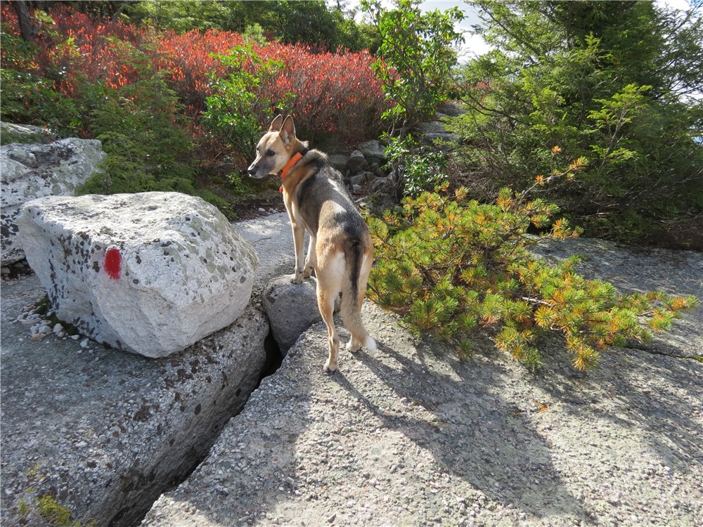 |
| She is afraid of heights, too, but stepped over the cracks like they weren't even there. |
 |
| Breathtaking views along the way. The views are to the west approaching the tip of Gertrude's nose then to the south and to the east coming around the bend at the tip of the "nose." |


 |
| The tip of Gertrude's Nose looking south. |
 |
| Views of farms to the south and east after rounding the tip. |


 |
| Cave entrance? |
 |
| Some rock scrambles up. |
 |
| Approaching Millbrook Mountain it feels like walking on the moon. |
 |
| The Catskill Mountains from Millbrook Mountain |
 |
| The trail becomes a stream for a good distance through Mohonk Preserve before... |
 |
| ... crossing Coxing Kill back into Minnewaska State Park. |
 |
| Back up to views of Mohonk Preserve... |
 |
| Mohonk Mountain Tower |
 |
| Lake Minnewaska with the Catskills in the background. |
 |
| Awosting Falls |
 |
| A parting shot of a variety of fall foliage colors on the way back to the car. |
[ 0.00] Continue on Jenny Lane (woods road) beyond barrier
[ 0.10] At T-intersection turn right; trail blazed light blue
[ 0.20] At 4-way intersection with kiosk, keep straight on unmarked when blue goes right; follow trail as it veers to the right downhill into an evergreen grove to where a bridge used to be over the Sanders Kill - go downstream a short distance to the more shallow part and ford across, keep left back up to the woods road on the other side
[ 0.90] Turn left on Route 44/55 for a few steps, cross over to blue-blazed trail at large boulders across woods road on the right;
[ 0.95] Continue through parking lot towards the restroom building then on the gravel road to the left of the restroom building
[ 1.20] Turn right on paved park road at large kiosk on right and park entrance on left
[ 1.25] Cross bridge then turn right on orange-blazed Sunset Carriage Road
[ 1.55] Straight on orange when it crosses over the paved park road
[ 1.95] Turn right on the red-blazed Lake Minnewaska Loop when orange ends at Lake Minnewaska
[ 2.05] Keep left on red when green goes right; stay with red as unmarked roads leave to the right
[ 2.30] Keep straight on red when blue goes right
[ 2.60] Turn right on the yellow-blazed Millbrook Mountain Carriage Road when red goes left
[ 2.80] Keep left on yellow Millbrook Mountain Carriage Road when the yellow-blazed Hamilton Point Carriageway goes right
[ 3.30] Patterson's Pellet
[ 3.70] Turn right on the red-blazed Gertrude's Nose Trail when yellow veers left
[ 4.20] Cross power cut and rock hop creek in power cut
[ 4.65] Gertrude's Nose; continue around to the left
[ 5.50] Cross power cut
[ 5.60] Keep left at fork
[ 6.30] Keep right when a carriage road goes left
[ 6.40] Millbrook Mountain; continue straight when yellow Millbrook Mountain Carriage Road goes left
[ 6.45] Leave Minnewaska State Park and enter Mohonk Preserve (no Mohonk pass needed for this section); keep left on red towards Lake Minnewaska
[ 6.65] Straight on red when blue goes right
[ 6.85] Rock hop over Coxing Kill and enter Minnewaska State Park
[ 7.50] At Lake Minnewaska, turn right on red Lake Minnewaska Loop; keep to the left around Lake Minnewaska when other carriage roads leave to the right
[ 8.25] Turn left to continue around lake at boat launch and porta potties
[ 8.40] Veer right on orange Sunset Carriage Road when red continues around lake
[ 9.10] At the end of orange, turn right on red-blazed Awosting Falls Carriageway
[ 9.35] Base of Awosting Falls; retrace (at this time the trail is closed from this point forward due to damage from Hurricane Irene)
[ 9.60] Turn right on paved road, cross bridge, turn left at kiosk on gravel road
[ 9.85] Continue through parking lot veering right towards the sign for the High Peters Kill Trail; continue on blue-blazed High Peters Kill Trail to Route 44/55
[ 9.95] Cross Route 44/55, turn left a few steps, then right on woods road blocked by boulders
[10.60] Ford Sanders Kill
[10.70] Keep straight at 4-way intersection with kiosk
[10.80] Turn left on Jenny Lane when woods road continues straight
[10.90] Jenny Lane parking lot