

ABOUT THE PARK:
Ohiopyle State Park - Pennsylvania DCNR
DIRECTIONS:
GPS Coordinates 39.868358, -79.494410
 |
| In the afternoon people are circling for a parking spot so best to get there early. |
TRAIL MAP:
Ohiopyle State Park Trail Map - Pennsylvania DCNR
Powered by Wikiloc
HIKE DISTANCE: 5.5 miles
THE HIKE:
 |
| We started by heading towards the bridge which is the Great Allegheny Passage bike trail. We would be on a bit of that later. |
 |
| For now crossing the river on the pedestrian part of the road bridge. |
 |
| The Youghiogheny River and the Great Allegheny Passage. |
 |
| Just after the bridge, left into the parking lot and straight through to the far end... |
 |
| ... to the Ferncliff Natural Area |
 |
| We went left on the Ferncliff Trail. |


 |
| The trail comes out at the river and follows a very scenic stretch on rock slabs. |
 |
| Three common merganser ladies. |


 |
| The visitor center observation decks across the river. |


 |
| Continuing the loop at a higher level with the river down below to the left. |
 |
| This trail is blazed black/blue but sometimes the blazes are hard to see. |
 |
| Staying left on the Ferncliff Trail when the Fernwood Trail goes right. |


 |
| The trail makes a sharp right but it also goes straight a short distance to underneath the Great Allegheny Passage where it ends. |
 |
| We backtracked and followed where the trail turned up to the Great Allegeheny passage and turned left to ... |
 |
| ... cross the bridge. |
 |
| Youghiogheny River from the Great Allegheny Passage |


 |
| Just after the bridge, left on the Great Gorge Trail. |
 |
| This is a smooth, wide trail all the way out to ... |
 |
| .. left over a bridge. |
 |
| Just after the bridge, left after the Cucumber Falls Sign. |
 |
| Cucumber Falls which is insanely crowded because there is a parking lot to get to it. |
 |
| Descending to the bottom of Cucumber Falls. |
 |
| It was impossible to get a picture without other people in it. |
 |
| Continuing on past the falls on the yellow-blazed trail. |
 |
| Looking back at Cucumber Falls from the yellow trail. |
 |
| The Meadow Run Trail, also blazed yellow goes up to the right. |
 |
| This is a very rugged trail where I found unprepared and elderly people unaware of how challenging this trail is. |


 |
| The trail passes along the river with great views. |
 |
| At the sign, a short out and back to the Slides. |

 |
| I didn't zoom in far enough but there were people riding down the chute in the distance like they were in a water park. |
 |
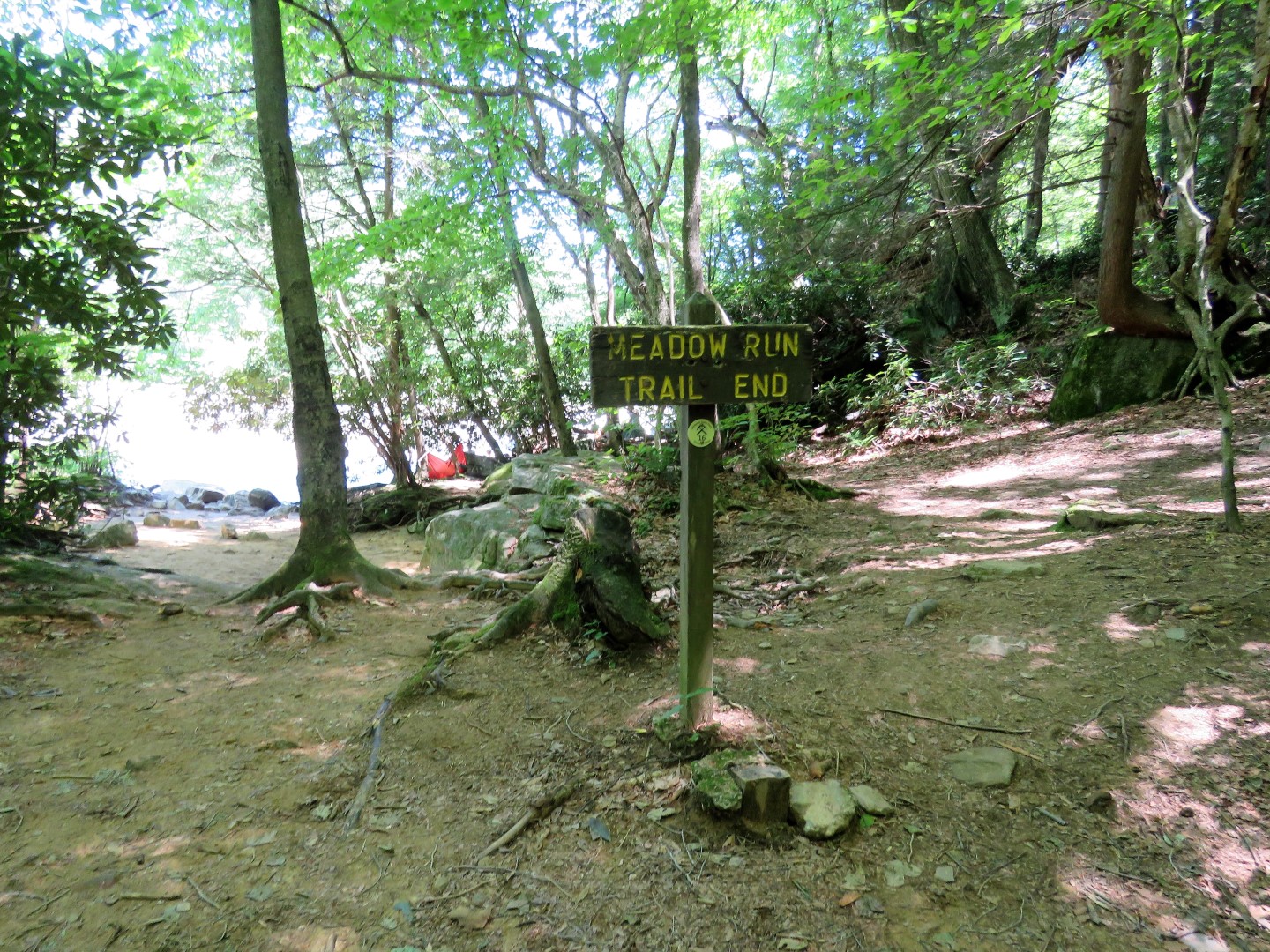
| Heading back to that last sign where we turned left up to the road. |
 |
| Left on the road ... |
 |
| ... and follow the yellow footprints back to the visitor center. |
 |
| At the visitor center heading back to where we parked. |

 |
| Brodie is all vacationed out. After this hike, a little over 5 hours to home. 2,390 miles of driving and 50 miles of hiking over 10 days in 4 states.. |
Looks like a great trip! I really need to get back to Ohiopyle when the kids are a little older, it's such a great park.
ReplyDeleteYes, definitely putting Ohiopyle back on my list for my next trip to MO. Lots of trails there and I would presume other trails are less crowded than the falls area. Purple Lizard just put out a great trail map of the Ohiopyle and Laurel Highlands area. Wish it was closer!
Delete