ABOUT THE PARK:
Wallkill River National Wildlife Refuge - US Fish and Wildlife Service
Wallkill River Nature Trails - US Fish and Wildlife Service
No dogs allowed on this trail.
DIRECTIONS:
GPS Coordinates 41.25459, -74.54323
 |
| There is no sign for the parking lot but directly across the street from this sign (there is no parking at this sign)... |
 |
| ... turn into the drive to ... (PS - that is bear scat on the road to the left) |
 |
| ... the parking area. This is looking back out towards Bassett's Bridge Road. |
TRAIL MAP:
Refuge Map (shows all trails) - US Fish and Wildlife Service
Timberdoodle Trail (only shows first part to Kelly Road) - US Fish and Wildlife Service

HIKE DISTANCE:
Timberdoodle Trail - 4.7 miles (2.35 miles each way)
hiked together with a 4 mile drive to:
Winding Waters Trail - 2.6 miles
THE HIKE:
Shawnee had to sit this one out because she has been having trouble with one of her back legs toeing in and collapsing all week. It's much better than it was earlier in the week but I felt it best she stay home this weekend so I took the opportunity to do a no dogs allowed hike. I did my best to sneak out without her but it is very hard to fool her when one is sneaking out to go hiking without her.
 |
| Start of the Timberdoodle Trail. |
 |
| It's all old rail bed to pretty much a straight shot out 2.3 miles, except for a short section that bypasses the rail bed along a field |
 |
| Makes for some nice aerobic steps for a change. |
 |
| One road crossing at Kelly Road. |

 |
| Another parking area on Kelly Road if you want to knock about a mile off of this hike. |
 |
| If anyone lost these glasses, here they are at the Kelly Road trail gate. |
 |
| This section starts to open up a little ... |
 |
| ... for some countryside views to the left ... |
 |
| ... and to the right. |
 |
| There is a nice breeze blasting down the corridor when it's hot in the sun. |
 |
| Not sure why this sign is here unless it means off trail to the left because the best part of the hike is yet to come. |
 |
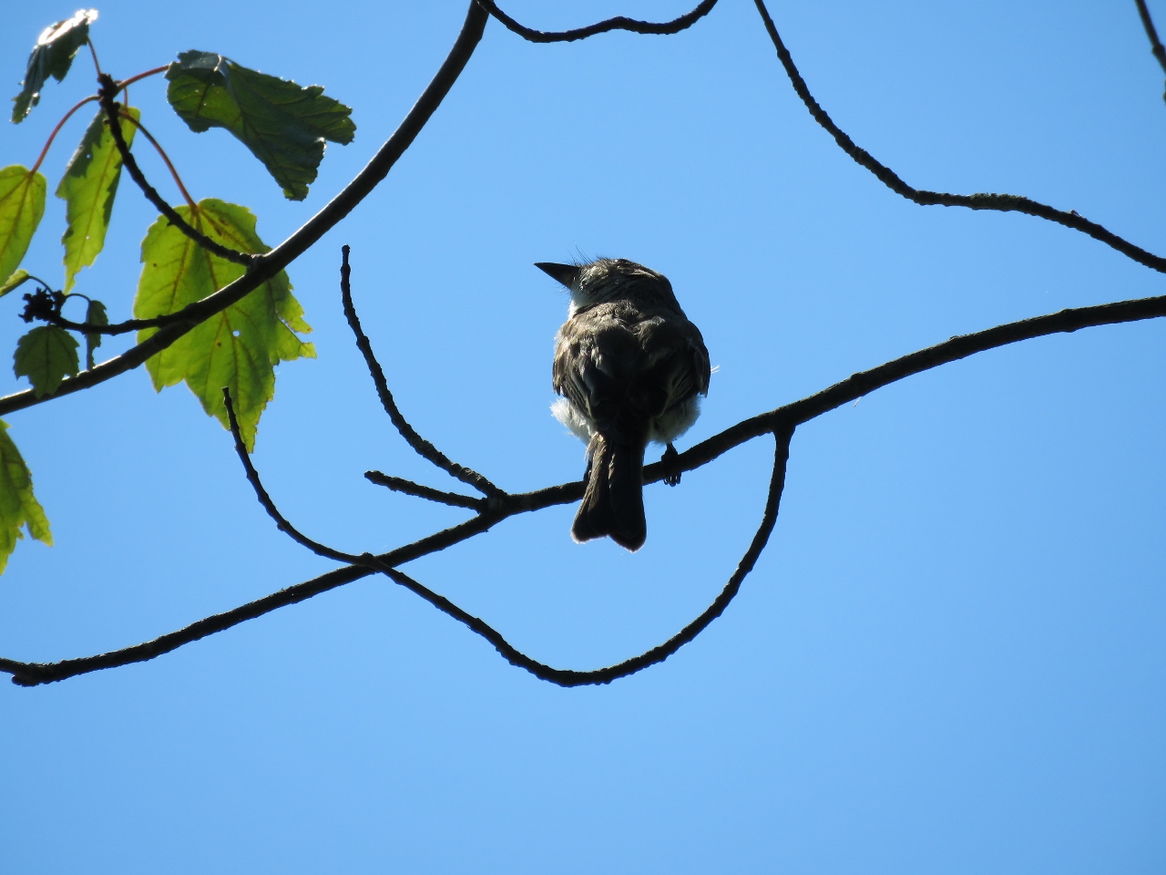
| Meow. Yes, that is what he said. It's another gray catbird. |
 |
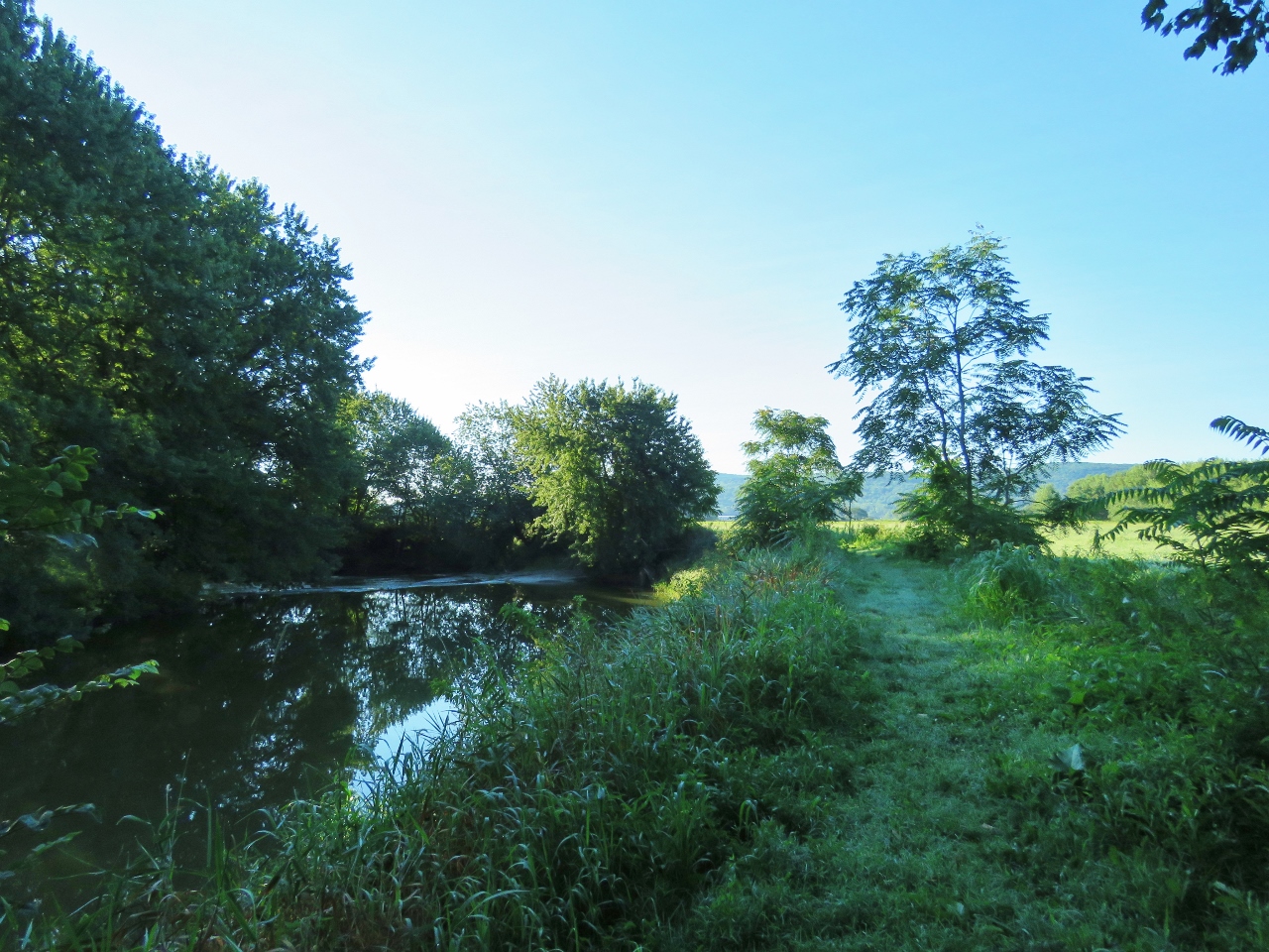
| On the left a swamp comes into view ... |

 |
| ... that becomes a lovely pond at a bench. |
 |
| A Great Blue Heron taking off. |


 |
| The trail continues on a short distance along some swamps ... |
 |
| ... before it ends. |
 |
| Heading back. |
 |
| A hawk on the far side of the pond. |

 |
| More bear scat but never saw any bears. |
 |
| Back at the parking area. |
 |
| I had seen this roadside stand on the way from Winding Waters to Timberdoodle on Oil City Road so I went back to buy some farm fresh produce before heading home. |