Showing posts with label NJ Wharton State Forest. Show all posts

Sunday, December 18, 2022

Wharton State Forest, NJ - Whispering Pines and Atlantic White Cedar Hiking Trails

ABOUT THE PARK: 
Wharton State Forest - New Jersey Department of Environmental Protection

DIRECTIONS: 
GPS Coordinates 39.846948, -74.676311
Parking at trailhead off Patty Bowker Road.

TRAIL MAP: 
Whispering Pines at Wharton State Forest - New Jersey Department of Environmental Protection


HIKE DISTANCE: 7 miles with additional exploring (a little over 5 if staying with the marked loop)

THE HIKE: 
This is a separate section of Wharton State Forest where new trails opened this past summer of 2022.
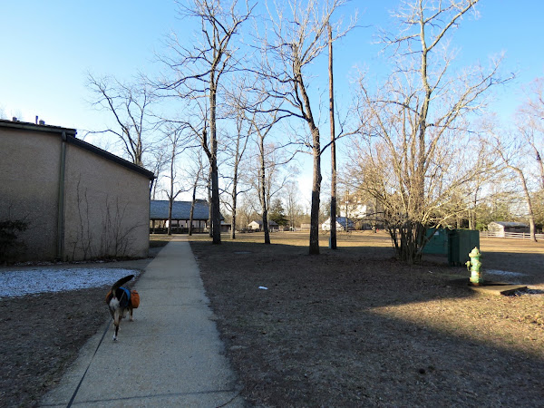
The white-blazed Atlantic Cedar Trail starts from the parking lot.
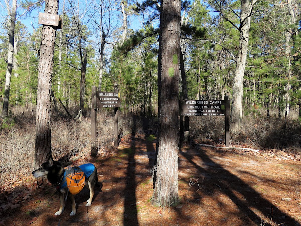
At the loop portion of the white trail we turned left.
Left on the blue-blazed Whispering Pines Trail.
The trail follows along private property (Camp Inawendiwin) for a stretch.
The blue trail turns left on Iricks Causeway Road, barricaded to traffic.
The blue trail leaves to the right but we continued straight for a bit...
... into Friendship Creek Preserve which has no marked trails.
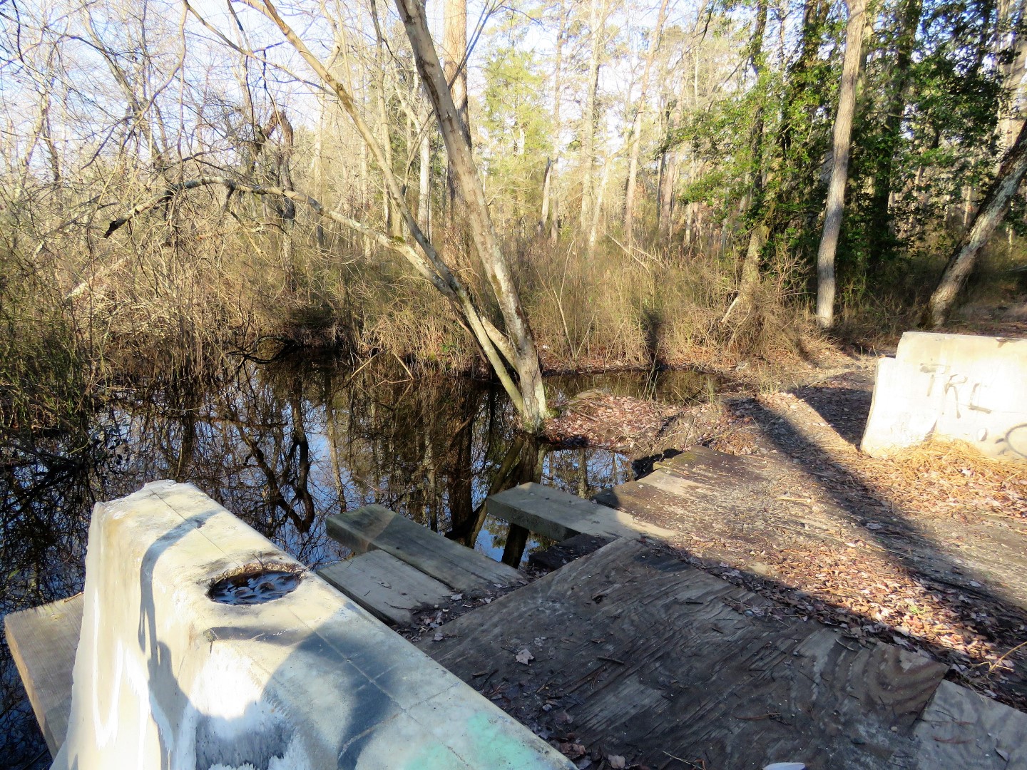
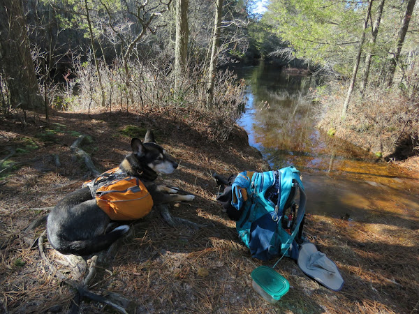
The barricaded bridge over Friendship Creek.
We turned back at this point.
Friendship Creek Preserve/Wharton State Forest boundary.
We turned right on an unmarked path in Friendship Creek Preserve.
This led to an antique car just before a private property line.
Looping around at the car ...
... back to blue on the other side of Iricks Causeway.
You can tell by the sparse trees that old cranberry bogs are up ahead.
An opening to the left leads to the bogs but this is all that can be seen.
We continued on a berm along a drainage which runs parallel to blue on the other side of the drainage to the right.
This eventually ends at a flooded out section where we turned back.
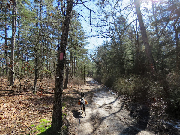
Continuing on blue.
When blue turns right, we went left to explore some more ...
... and ended up the other side of that flooded out section.
You can see the old cranberry bogs along our track in Google Earth but can't really see anything other than the drainage from the ground.
Joining back up where we had left blue and continuing on blue.
Left on white.

Sunday, February 6, 2022

Wharton State Forest, NJ - Batsto to Quaker Bridge Loop

ABOUT THE PARK: 
Wharton State Forest - New Jersey Department of Environmental Protection
NJ State Long Trail - Sierra Club New Jersey Chapter

DIRECTIONS: 
GPS Coordinates 39.64487, -74.64699
Batsto Historic Site Parking Lot

TRAIL MAP: 
Wharton State Forest Trail Map - New Jersey Department of Environmental Protection


HIKE DISTANCE:  14.1 miles

THE HIKE:
Starting off through Batsto Village.
It is a straight shot through the village to the hiking trails.
The yellow trail was the destination but I wanted to capture the orange Tom's Pond Trail also since that trail was closed due to flooding when I last hiked this loop in 2010.  I did not know what the blue marker with an S on it was for until I uploaded my track into Google Earth when I got home.  Turns out that is the blue-blazed NJ State Long Trail.  I had loaded tracks of the trail into Google Earth so I could see that is where I had been.  This trail is not on the park map as it is pretty new.
Continuing on orange/yellow/blue S.
Just after this bridge we turned right on an unmarked trail as it looked like it would loop back around to orange/yellow/blue S but might be a bit more scenic.
Back on orange/yellow/blue S.
At this bridge is where the trails split apart.  Yellow goes right over that bridge - that would be for later.
To the left is blue - we'd come in the the other side of that after orange.
For now straight on the orange Tom's Creek Trail.
The trail forms a loop and after coming back over this bridge, orange retraces to the left but we veered right at the fork on un unmarked trail.
That came out on a sand road where we turned left ...
... then left on blue.  Blue continues straight on the sand road also but this would take us back to the intersection where we needed to pick up yellow.
And here we are, now crossing the bridge on yellow where we would be for several miles.
Mullica River Wilderness Camp.  There are fire rings that I don't believe were there in 2010 because I had to call the park office about a camp fire that was left burning and it was not in a fire ring.
Right on the green Wilderness Camps Connector Trail.
Green will turn right with purple joining from the left...
... to the dreaded not-at-all-dog-friendly Quaker Bridge.  At only 45 pounds I figured it would not be so hard to carry Brodie over.  That was the case about half way over until he started slipping, my trekking poles balancing on top of him started slipping...  I made it to the other side just in time before everything went down.  Forty five pounds gets really heavy really fast.
Right on the pink-blazed Batona Trail.
This looks like a burn area with tons of baby pines coming up.
The Batona Trail continues to the left; we veered right on the white trail.
The blue S NJ State Long Trail follows along this trail also.
Note that these light blue blazes are a state forest trail, not the NJ State Long Trail, whish is probably why it is designated with the S where it overlaps state forest trails.
Where I had not run into anyone the entire hike, this trail was starting to get busy wo we turned left on red.
Then the green mountain bike trail ...
... back to the parking lot.