ABOUT THIS PARK:
Appalachian Trail - NY/NJ Trail Conference
Wallkill River National Wildlife Refuge - US Fish and Wildlife Services
DIRECTIONS:
Appalachian Trail Parking on Route 565
GPS Coordinates 41.249825,-74.497962
View Larger Map
 |
| Pull-out parking for 2-3 cars |
TRAIL MAPS:
Appalachian Trail Guide to New York-New Jersey - NY/NJ Trail Conference
Wallkill River NWR Brochure - US Fish and Wildlife Services
APPALACHIAN TRAIL SECTION HIKING:
TrailHeadFinder.com - AT section miles 1335.9 to 1330.8
HIKE DISTANCE:
9.7 miles total out and back if not hiking with a dog
10.2 miles total out and back if hiking with a dog
Can be done as a 5.25 mile shuttle hike by spotting a car at Wallkill River NWR (41.283434, -74.526079)
THE HIKE:
 |
| The Appalachian Trail on Pochuck Mountain. |
 |
| Partial views from one of the Pochuck Mountain summits (apparently there are several summits). |
 |
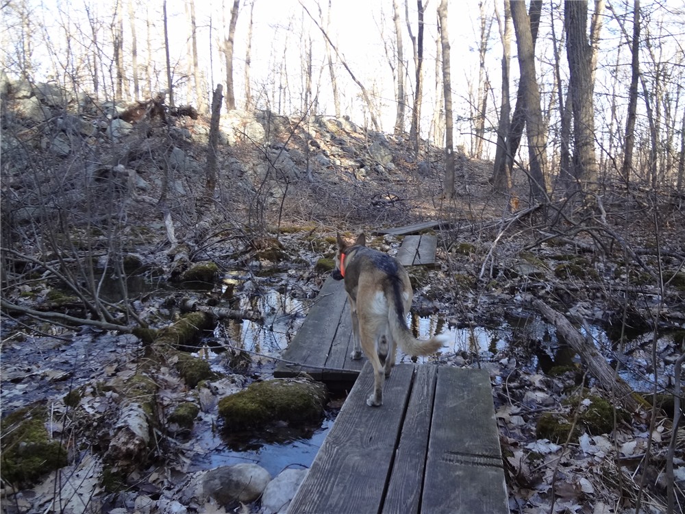
| You will encounter several swamp crossings on boards. |
 |
| Almost 2 miles into the hike, open views of the Wallkill Valley and High Point Monument in the distance. |
 |
| High Point Monument |
 |
| An almost continuous .4 mile section of boardwalk over swamps just before entering Wallkill River National Wildlife Refuge. |
 |
| Entering the Wallkill River National Wildlife Refuge. |
 |
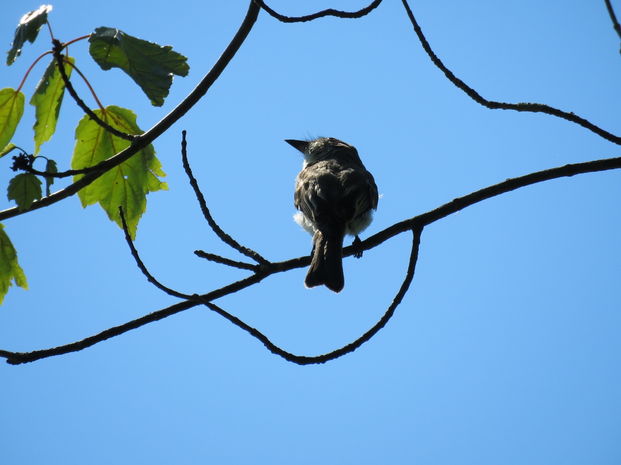
| There is conflicting information regarding the dog policy online but this is what the sign says. The fact that dogs are allowed at all on a portion of this trail is probably due to Appalachian Trail thru-hikers with dogs so please, leash your dog while here! This area is a quiet haven for birds. |
 |
| Being a model canine citizen and not disturbing the birds. |
 |
| Looking back across Liberty Marsh towards Pochuck Mountain. |
 |
| Taking a break where the AT leaves Wallkill River NWR and heads back across Pochuck Mountain. |
HIKE SUMMARY:
[0.00] Route 565 pullout parking; head south on white-blazed Appalachian Trail (same side of road as parking)
[0.10] Cross wooden bridge over stream
[0.35] Pass through red cedars
[0.40] Cross swampy area on boards then rock hop over stream
[0.60] Cross dirt road
[0.90] Cross swampy area on boards
[1.15] One of the summits of Pochuck Mountain; side trail on right to limited views
[1.35] Cross dirt road
[1.85] Overlook of Wallkill Valley and High Point
[2.15] Cross woods road
[2.45] Summit of western ridge of Pochuck Mtn; begin to descend
[2.65] Blue blazed side trail to Pochuck Mountain Shelter
[3.10] Cross open field on hillside
[3.20] Cross paved Lake Wallkill Rd, turn right on road then left into woods
[3.30] Cross swamp on boards for next .4 miles
[3.70] Left on Liberty Loop Trail into Wallkill NWR and around Liberty Marsh
[5.10] At Oil City Road, retrace back to start of hike (can finish Liberty Loop back to AT if not hiking with a dog)


