

Stokes State Forest - NJ Department of Environmental Protection
DIRECTIONS:
GPS Coordinates 41.183957, -74.811662
 |
| Lake Ashroe Parking Lot |
TRAIL MAP:
Delaware Water Gap & Kittatinny Trails Map 122 - New York New Jersey Trail Conference
Stokes State Forest Trail Map South - New York New Jersey Trail Conference free map
Delaware Water Gap & Kittatinny Trails Map 122 - New York New Jersey Trail Conference
Stokes State Forest Trail Map South - New York New Jersey Trail Conference free map
THE HIKE:
I hiked the Red Maple Trail from Lake Ashroe as an out-and-back when it was new in May 2018. In the winter with Struble Road closed at the 4H Camp from December 15 - April 15 I wanted to hike this as a loop using the closed road.
 |
| Starting at the gate from the parking lot. |
 |
| Just beyond the gate is the start of the Red Maple Trail. |


 |
| Winter view of Lake Ashroe. |


 |
| The trail ascends then turns on a woods road and will stay with woods roads for a bit. |


 |
| I wanted to check out Brink Road on the right since it was completely flooded out from the swamp when I was there the last time. |
 |
| Bone dry now even with a very wet January. |
 |
| The swamp was dry also. |
 |
| Back on the Red Maple Trail. |
 |
| Leaving the woods road to the right on a footpath. |

 |
| A few rock hop creek crossings along the way. |

 |
| This trail maintainer really put some effort into rounding off the edges! |


 |
| The Red Maple Trail ends at Tillman Ravine. |
 |
| Taking the lower trail through the ravine. |


 |
| The Teacup |
 |
| Somebody woke up from his winter nap. Ugh. |

 |
| This sign has seen better days. |

 |
| Continuing straight out of the ravine on the Cemetery Trail. |

 |
| Coming out on Mountain Road. I ran into the couple who parked down on the left and we were all surprised to see one another with the road closure. They had come through Flatbrook Roy WMA but said the road was horrible, very rough and rutted. They were the only people I saw the entire hike other than ... |
 |
| ... three of these revving around Mountain Road. Ugh. |
 |
| Passing by the cemetery then ... |
 |
| ... right on the seasonally closed Dimon Road which becomes Struble Road. |


 |
| Passing by the deserted lower parking lot which would otherwise be packed. |
 |
| Passing by the deserted upper parking lot. |
 |
| Just after the upper lot, a picnic area at the top of the hill on the left. |
 |
| Perfect spot for a break after a long uphill walk. |
 |
| Continuing on the road walk. |
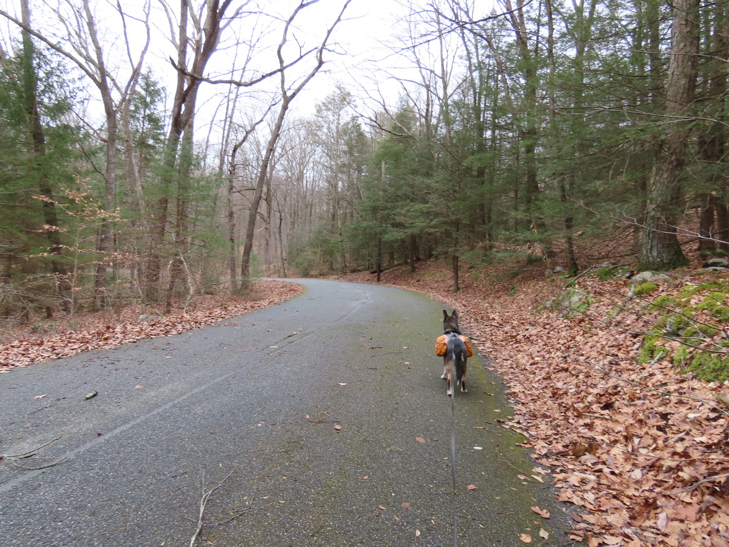 |
| A bit into this sharp bend ... |
 |
| ... we turned right on the Stoll Trail to cut off a bit of the road walk. The other gate for the road closure is just around the bend in the road. |
 |
| Stoll Trail |

 |
| At the end of the Stoll Trail, straight ahead is Struble Road. Turning right on Cross Road (a woods road) would lead back to the Red Maple Trail adding about another mile. We continued on to Struble Road. |
 |
| It's not far to the gate at the road. |
 |
| This part of the road is not closed but there still was no traffic other than a car or two coming and going from the residential area. |


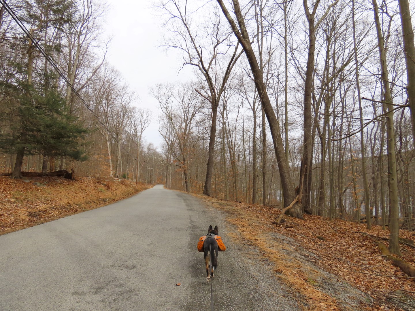 |
| Coming up on Lake Ashroe. |

 |
| Lake Ashroe from Struble Road. |
 |
| Back at Lake Ashroe Parking. The portable sign on the left announces the road closure. |