Saturday, September 17, 2016

Catskill Forest Preserve, NY - Huckleberry Point


ABOUT THE PARK:
Kaaterskill Wild Forest - New York Department of Environmental Conservation

DIRECTIONS:
GPS Coordinates 42.13383, -74.08197
This was our second hike of the day so by the time we got there, a little after noon, the lot was packed and we had to park along the driveway.

TRAIL MAP:
Northeastern Catskill Trails Map 141 - New York New Jersey Trail Conference


HIKE DISTANCE: 5.25 miles*
* Shawnee and I only hiked about 4 miles
Hiked together with Kaaterskill Rail Trail, about a 9 mile drive away.

THE HIKE:
I had read that this hike was easy with little elevation gain so I figured it would be OK for Shawnee.  It was not.  It was very rugged and had quite a significant amount of elevation gain and after a point I had to wait with Shawnee and let the others finish because it became too much for her.
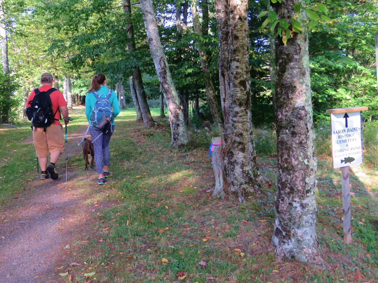
The trail starts through the gates to the left of the trail register.  There is occasional traffic on this woods road as it leads to residences.
The woods road goes up rather steeply most of the way.
It's very rocky with large pieces of loose rocks.
This would be Hell Hole Brook which would normally be flowing and feeding Devil's Kitchen down below but it was just a stagnant puddle and as we saw on the drive out, the normally raging waterfalls at Devil's Kitchen off of Platte Clove Road were bone dry.
The trail becomes quite rooted after it leaves the rocky woods road.  Not at all dog wheelchair friendly.
We kept thinking that any minute now the trail would become easy.  It only became rockier and more rugged.  So about 2 miles in and about .7 miles from Huckleberry Point, I sent the others on ahead and stayed back with Shawnee.  Her paw had started bleeding because her nails had worn down past the quick from scraping rocks so I sat off the trail with her, cleaned and bandaged her paw and let her nap.  So from this point the camera and GPS were in the hands of Bryan and Caitie.
The trail becomes yet more rugged.  (Photo by Caitie)
(Photo by Caitie)
(Photo by Caitie)
(Photo by Caitie)
(Photo by Caitie)
Huckleberry Point (Photo by Caitie)
Huckleberry Point (Photo by Bryan)
Huckleberry Point (Photo by Caitie)
Huckleberry Point (Photo by Bryan)
Heading back. (Photo by Bryan)
(Photo by Bryan)
(Photo by Bryan)
A little over an hour later and after nice power nap with a bandaged paw, we were all heading back together. (Photo by Bryan)
Bryan kept control of the camera since it was getting in the way every time I had to bend over to help Shawnee, which was just about every step.  (Photo by Bryan)
Caitie was a great help in getting Shawnee through sticky spots and watching that the boot stayed on over her bandage.  (Photo by Bryan)
(Photo by Bryan)
(Photo by Bryan)
(Photo by Bryan)
(Photo by Bryan)
(Photo by Bryan)
That rocky woods road that we thought was challenging for Shawnee in the beginning, piece of cake now! (Photo by Bryan)
Shawnee was able to manage on her own with me just controlling her speed with the leash.  And I was able to take the camera back.
Back at the parking lot, which was now empty since the hike took us so long with Shawnee and everyone else had already finished and left.
It was dark when we returned home with two exhausted dogs.


Catskill Forest Preserve, NY - Kaaterskill Rail Trail


ABOUT THE PARK:
Kaaterskill Rail Trail - Great Northern Catskills

DIRECTIONS:
GPS Coordinates 42.19539, -74.09227
My GPS told me to turn right on Railroad Station Road, which is not correct.  There is a gravel drive that loops around to the parking lot above but the proper turn would be ...
... at this sign.

TRAIL MAP:
Northeastern Catskill Trails Map 141 - New York New Jersey Trail Conference
These two maps show different routes for the rail trail.  We did it both ways:
Kaaterskill Rail Trail Map (free map) - NYNJTC (This is how the trail is marked)
Kaaterskill Falls & North/South Lake Trail Map (free map) - NYNJTC


HIKE DISTANCE:  5.1 miles
Hiked together with Huckleberry Point, about a 9 mile drive away.

THE HIKE:
Heading to the trail from the parking lot on the right.  (Shawnee's wheels now have an orange bike flag in for hunting season.)
First a left to the Aaron Haines Historical Cemetery.
Heading back along a small pond.
At the intersection before the historic train station up ahead, left to follow the trail markers.
This is not actually a rail trail yet rather woods roads...
... to Osborne Road, which is not a bad residential road walk.
But that brings you to North Lake Road which has pretty much traffic heading to North/South Lake.
Eventually, a right on a woods road...
... to a left on the actual rail trail.  We noticed the trail does continue to the right - more on that later.
The railroad ties are still in place for the most part so it made for a little rough going for Shawnee but she managed OK.


A steep drop off to the side
Where the rail trail currently ends, at the newly enlarged parking lot on Laurel House Road for access to...
... newly constructed paths to Kaaterskill Falls.
Along with all of this new construction and easy access, you have crowds of people and litter everywhere.  Ugh, not our thing AT ALL!
Still more construction going on.
At the top of Kaaterskill Falls.
I kid you not, people had left their stroller sitting by this sign and took their toddler down into the hazardous gorge area.
There was really nothing to see so we backtracked and took the trail to the overlook platform.
At least we caught a break where nobody was there for a minute.
This is Kaaterskill Falls during a drought.  There are people down by the pool but it is so far down you can't see them in the picture.
The falls were just spitting water out where they are normally raging.
New construction along the way to make that side more accessible to more people and safer?  The construction is probably due to all of the deaths at these falls but there will always be those who don't pay attention to the warnings.
OK, we are done here, let's get back to peace and quiet on the rail trail.
Ahhhh, so much better!
I had Shawnee wait with the others while I checked out a side trail looking for a view that was supposed to be along the trail (which I never did find) and I got yelled at for leaving someone behind while I went to investigate.  Nope, she was NOT happy with me and was loudly voicing her opinion about that :)
This is right after the intersection where we had come in from the road walk.  A local woman was at that intersection and I asked her if the trail continued through per this map although it was not marked.  She said it does go through to the historic train station and that it is public assess so definitely OK to go that way.  Apparently there is an upper trail that goes through local back yards that is off limits but this lower rail trail is good to use so off we went.  This part of the trail was much rougher than the marked section we had been on but it was still passable.
Indeed, it spit is right out at the train station.  Going in the opposite direction, it would not be that easy to see the entrance and there are no signs.
Back to the parking lot...
... and on to the next hike.