ABOUT THE PARK:
Appalachian Trail in New Jersey - Appalachian Trail Conservancy
DIRECTIONS:
GPS Coordinates 41.306042, -74.587376
 |
| Room for 2-3 cars on Mt. Salem Road across the street from gated Goldsmith Road. |
TRAIL MAP:
New York/New Jersey Guide - Appalachian Trail Conservancy
HIKE DISTANCE: 12.7 miles (6.35 miles each way)
THE HIKE:
 |
| On the north side of Mt. Salem Road, slightly west from the parking spots, gated Goldsmith Road (no sign). |
 |
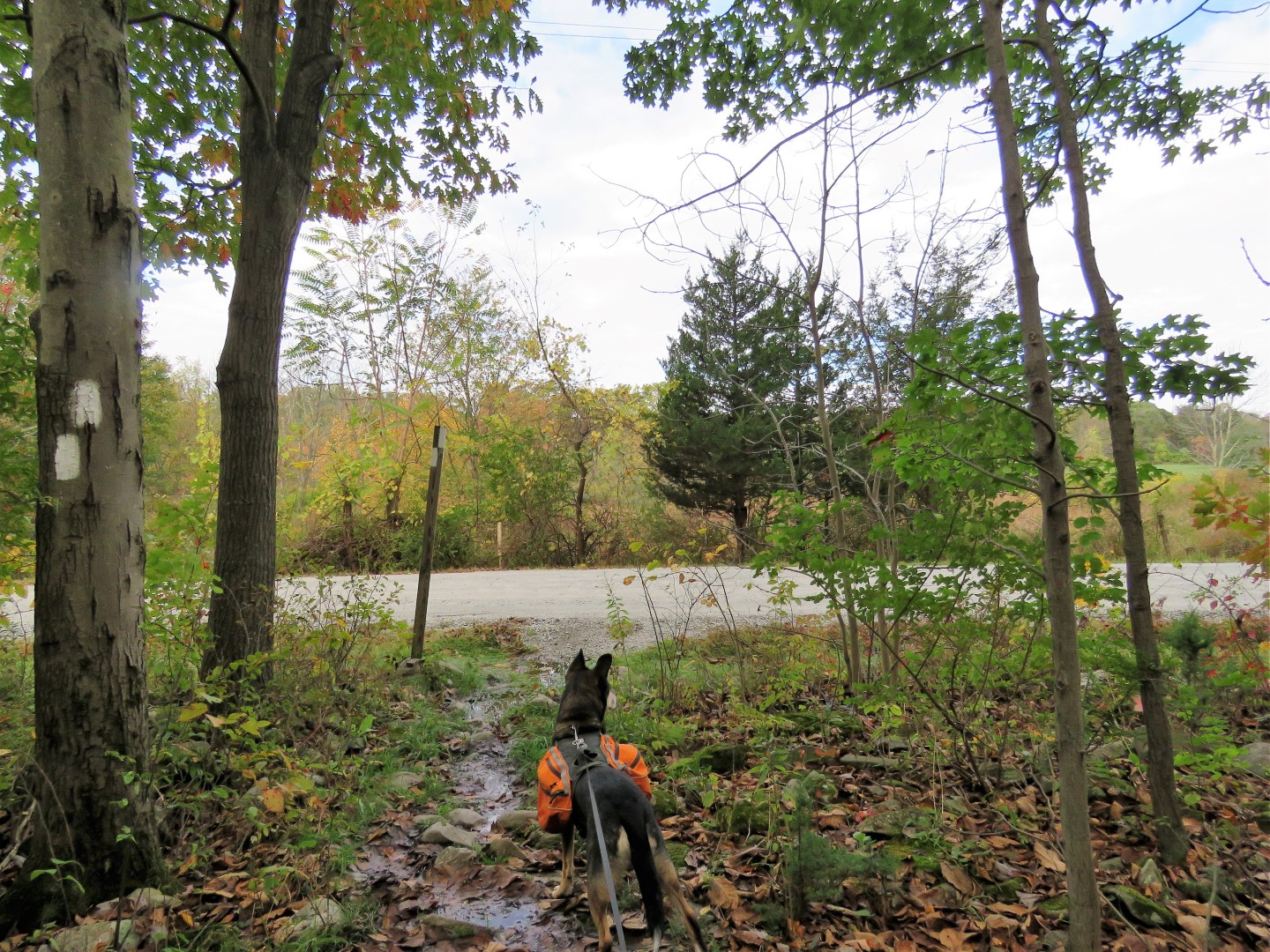
| It's just a short distance down the hill to ... |
 |
| ... where the Appalachian Trail crosses over. We turned left to go south on the AT towards High Point. |
 |
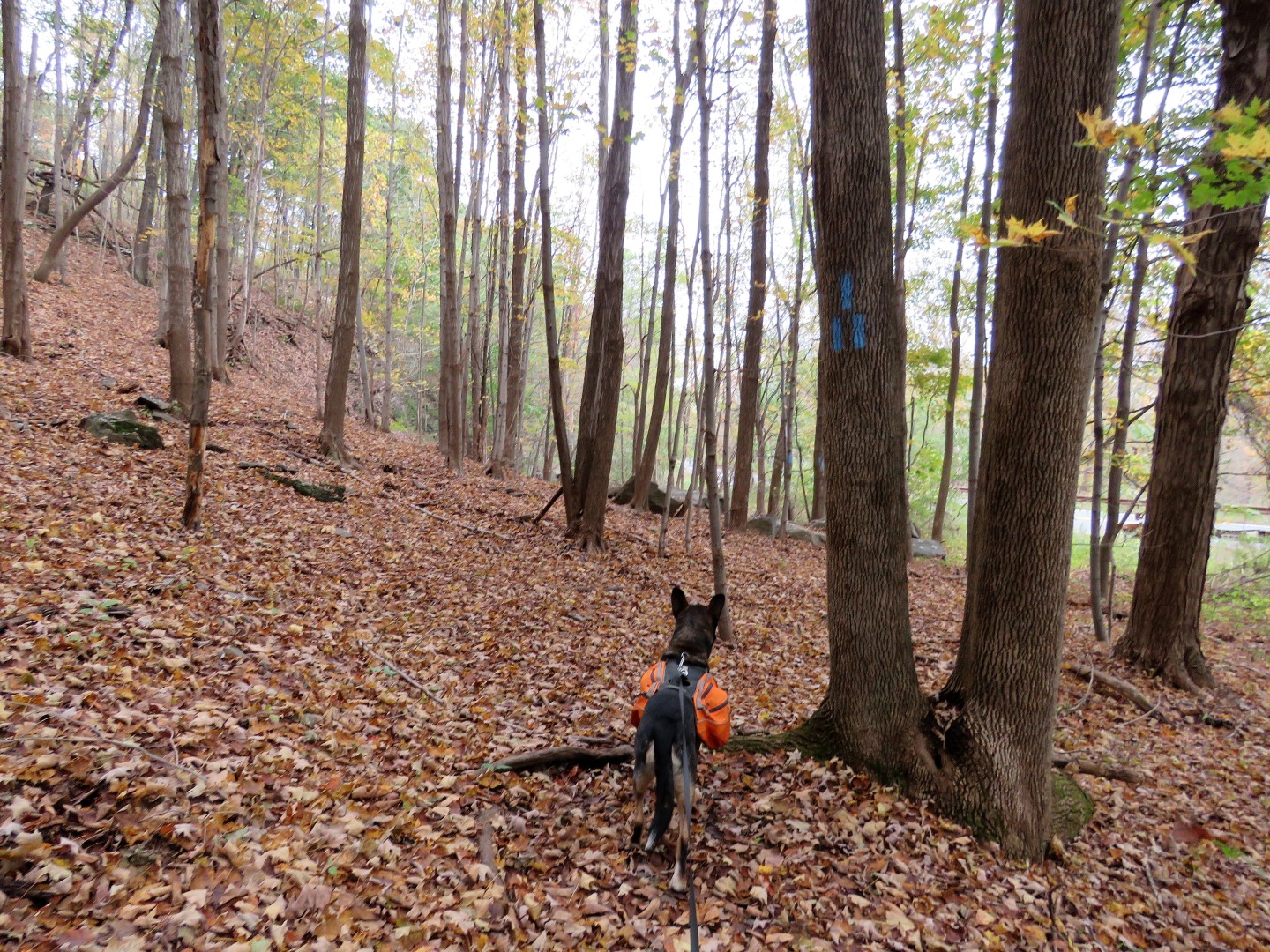
| With yet even more rain during the week, long sections of trail were soggy or flooded. |
 |
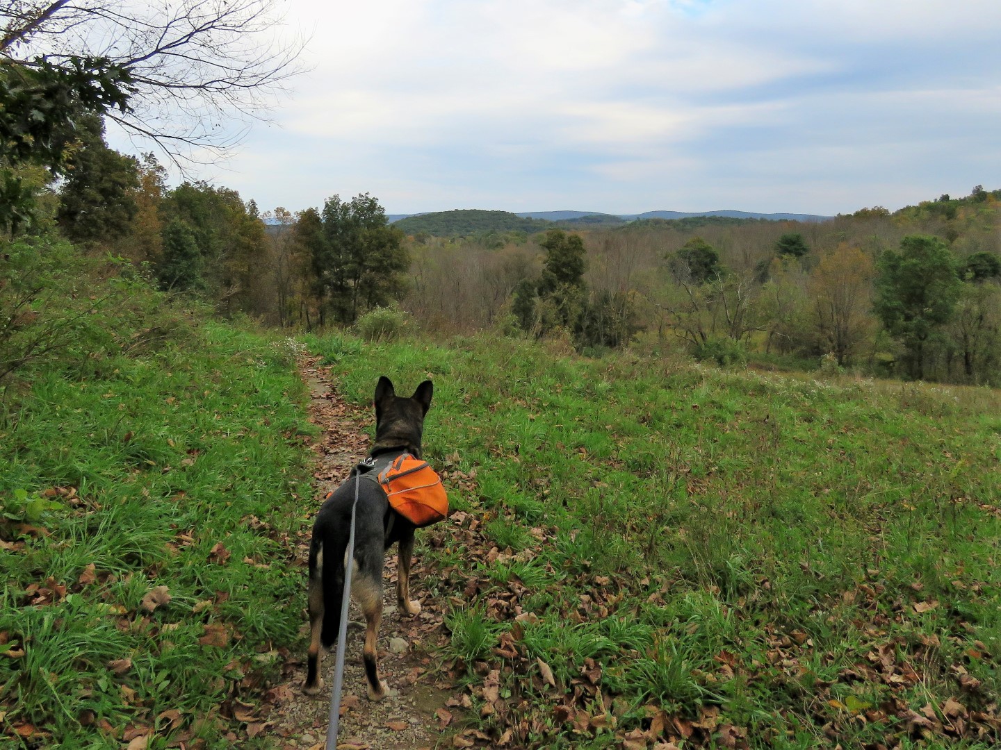
| Coming out on a meadow ... |
 |
| ... with early morning views behind us. |
 |
| A little farther along barely visible in this picture ... |
 |
| ... High Point Monument in the distance. |
 |
| An Eastern Phoebe probably on his way south for the winter. |
 |
| Coming up on Goodridge Road where the AT crosses over. |
 |
| Several bridges over creek crossings. |
 |
| The last crossing is a rock hop which was actually easier than it looked. |
 |
| Coming up on Gemmer Road. |
 |
| Yellow-bellied Sapsucker |
 |
| Brown Creeper |
 |
| At Mt. Salem Road (not the same Mt. Salem Road where I parked - these streets get so confusing in this area!) the trail turns right a few steps .... |
 |
| ... and just before the New York State line (notice how the road changes from gravel to paved) ... |
 |
| ... the trail turns left. Used to be you had to climb the stiles but they have all been moved now so you just go around them. I was relieved to find this since I was not sure how Brodie would do climbing them. It used to be Shawnee's worst nightmare. Fortunately it wasn't an issue on this hike. |
 |
| The trail now goes through a swampy area where sometimes there are puncheons, sometimes not, but there are a ton of birds here. |
 |
| Some female red-winged blackbirds. |
 |
| Pigeons on a distance silo. |
 |
| A house sparrow in hiding. |
 |
| Field Sparrow |
 |
| There were lots of old stone farm walls throughout with the trail going over several. |
 |
| At one point, with no rocks around to stand on, there was no avoiding mud soup. |
 |
| Northern Flicker |
 |
| Balloon #50 of the year. |
 |
| Crossing gravel Courtright Road. |
 |
| Coming up on Route 519. All of the road crossings to this point have been quiet country roads. Cars FLY down this road so when the close was clear ... |
 |
| ... we RAN over diagonally to the left ... |
 |
| ... into the safety of the woods. |
 |
| The blue trail leads to a small parking area off of Route 519 because road walking to the AT would not be safe at all. |
 |
| The trail switchbacks up, first on steps. |
 |
| Once up on the ridge, it's pretty flat and easy going for a while. |
 |
| We had only seen one other hiker this entire time so we just sat in the middle of the trail for a break. |
 |
| Coming up on a pretty creek ... |
 |
| ... with a rock hop over. |
 |
| This blue trail leads to the High Point shelter. |
 |
| Now the trail climbs again and becomes very rocky. |
 |
| Almost at the top, the intersection with the trail to High Point monument. This would have been our turn around point but we were so close to the viewing platform that we turned left to go there. We were at the monument earlier this year and it kind of puts a damper on a nice peaceful hike since it's so crowded and loud there. |
 |
| High Point monument behind us. |
 |
| At the viewing platform. |
 |
| Heading back. |
 |
| Our sprint back across Route 519. |
 |
| I thought I heard someone day "baaaaaaa" off to the right. |
 |
| Turkey Vulture |
 |
| At first I thought it was a horse over to the left but turns out it was a deer in someone's yard. |
 |
| White-throated Sparrow |
 |
| Back at Goldsmith Road |
 |
| Left on Mt. Salem Road back to the car. |