ABOUT THE PARKS:
Explore the Trails of Frenchtown - Frenchtown Boro
Frenchtown Preserve - Hunterdon Land Trust
Delaware and Raritan Canal State Park - NJ Department of Environmental Protection
DIRECTIONS:
GPS Coordinates 40.527773, -75.058745
 |
| Parking at Frenchtown Borough Park |
TRAIL MAPS:
Frenchtown Boro Park - Frenchtown Boro
Frenchtown Preserve - New Jersey Trails Association
D&R Canal State Park - NJ Department of Environmental Protection
HIKE DISTANCE: 13.1 miles
THE HIKE:
 |
| Starting on the paved path through the playground in Frenchtown Boro Park. |
 |
| The paved trail loops around to a suspension bridge over Nishisakawick Creek. |
 |
| Brodie was a little freaked out by the creaking and slight swaying of the bridge. |
 |
| Nishisakawick Creek |
 |
| We took the lower trail along Nishisakawick Creek. |
 |
| There were lots of eyes on us from across the creek. |
 |
| At the end of the trail ... |
 |
| ... a hairpin turn to the left put us on the millrace heading back. |
 |
| At the end of the 1-mile loop, down steps and back over the suspension bridge. |
 |
| Through the playground ... |
 |
| ... and out of the park to a left on Kingwood for a .6 mile road walk. |
 |
| There is sidewalk for a little more than half of the road walk. |
 |
| When the sidewalk ends there is enough room on either side to stay out of traffic. |
 |
| Cross over at Little Nishisakawick Creek ... |
 |
| ... then turn right onto a side entrance of the preserve just before Horseshoe Bend Road. |
 |
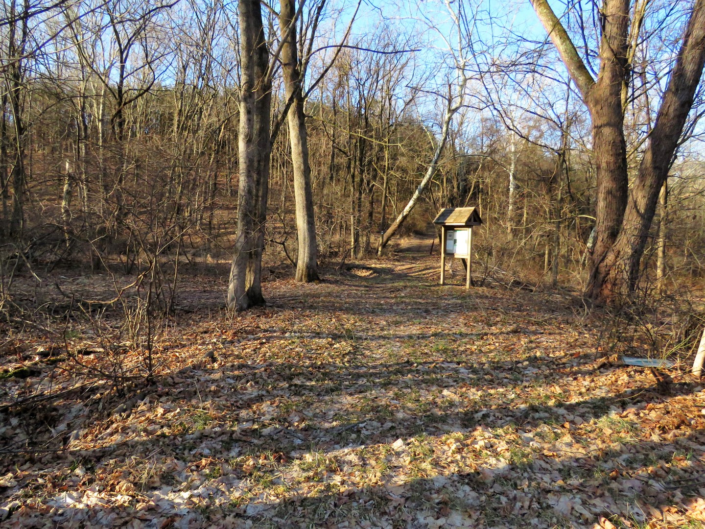
| At the kiosk we turned left on yellow which parallels Horseshoe Bend Road to the main entrance of the preserve. |
 |
| Coming up on the main entrance and parking lot. |
 |
| From here we took the orange trail to the left of the kiosk. |
 |
| The orange trail enters a beautiful cedar forest that the pictures don't do justice. |
 |
| Here we found balloon #32 of the year. |
 |
| The trail marker was missing here so coming from along the fence look for an opening to the right with a bench - that is where orange turns. |
 |
| There are supposed to be "breathtaking views of the Delaware River" but the Delaware River cannot be seen. Nice views nonetheless! |
 |
| Continuing along the field, green crosses over at the row of trees in the left center. Made a mental note of that as we would be turning left leaving the preserve later and the green trail marker in that direction was hard to see. |
 |
| For now, right on green to more trails. |
 |
| As we were hiking on yellow along Little Nishisakawick Creek ... |
 |
| ... someone had some words for Brodie from the other side of the creek.. |
 |
| Doubling back on orange. |
 |
| Balloon #33 of the year. (I think we have one just like this already.) |
 |
| Coming back out on that open field opposite where we had first entered by that bench. |
 |
| Now turning left along the field towards those trees in the middle where we would turn right on green just beyond those trees. |
 |
| Heading downhill on green to leave the preserve. |
 |
| At the bottom we turned left on orange where it was very wet and muddy. Even though this route does not look like it is used much, some stones and boards had been placed in some of the wet areas. |
 |
| But once we reached Route 28 we had no choice but to slosh through ankle deep ice water. BRRRRR. |
 |
| Now just a total .2 mile road walk along Route 28 to ... |
 |
| ... a left on Washington then ... |
 |
| ... a right on the D&R path. |
 |
| Carolina Wren |
 |
| Song Sparrow (and he was singing!) |
 |
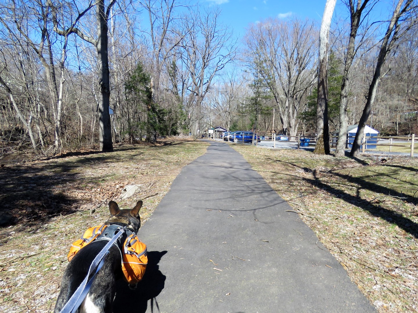
| At the huge parking lot to the left of the trail, we went down a flight of steps, crossed the parking lot and headed for this bench where I could change into dry socks (yay) and ... |
 |
| ... for St. Patty's Day snacks. |
 |
| We followed a path to the bridge ... |
 |
| ... and went out on the bridge for some pictures of the Delaware River. |
 |
| North |
 |
| South |
 |
| Back off the bridge and a right on the D&R Canal Path. |
 |
| Signs of Spring! |
 |
| I had noticed a footpath down to the left along the river and it seems to follow along continuously so kept that in mind for the return route. |
 |
| There was a trail down to the river bank so we went down there for better views and decided to follow that path along the river but it was very muddy and soon fizzled out. Would give it a shot on the return route in the opposite direction. |
 |
| For now, back on the D&R path. |
 |
| Here we are at the beginning (or the end?) of the D&R path. Or so I thought based on the map. |
 |
| Red: End of the D&R path. Blue: SOOOOOO much more! |
 |
| There is a very well-defined footpath that continues north. |
 |
| There are even some tracks still in place. |
 |
| This would be the actual end although paths continue along the fence in either direction. Since there were EPA hazard signs on the fence, I did not think going farther would be a good idea and it also seemed as though state park property ended here. So we headed back. |
 |
| But first, a trail to the right before this little canal which really did not go anywhere. |
 |
| Headed back, crossed over the canal, and took the path down the other side. |
 |
| This turned out to be a really nice path that veered left and then followed along the Delaware River all the way back to where we had started on the footpath from the beginning of the D&R path making a 1.2 mile loop. |
 |
| Looks like these are mountain bike trails based on the ramps at a couple of blow downs. |
 |
| The trail turns into a woods road along the chain link fence for a while before reaching the D&R path which is to the left of where that car is parked. The woods road continues straight ahead but since there were other people with dogs going that way (and I remembered seeing it was flooded when looking down in that direction earlier) we turned left ... |
 |
| ... then right on the D&R path. |
 |
| A short distance ahead (1/10th of a mile) we turned right on a wide double track which ended at ... |
 |
| ... a bench at the Delaware River. |
 |
| From here, another delightful unmarked but well-defined path all along the river. So much more scenic than the multi-use D&R path. |
 |
| Where Harikokake Creek flows into the Delaware River, the trail diverts up to the D&R path to cross. |
 |
| The path goes back down the other side but it fizzles out soon so ... |
 |
| ... back to the D&R path for a while. |
 |
| A vulture couple on a date? After all, spring is here! |
 |
| Back down to the river where earlier we had turned right and got flooded out and the trail seemed to end. Now trying to the left. |
 |
| And it was awesome! Completely passable with just a few wet spots that weren't all that bad. |
 |
| This goes through all the way to the bridge. The trail diverts up to the D&R path briefly a couple
of times to bypass areas that can't be crossed but then heads back
down to the river each time. |
 |
| Just before the picnic area and bridge, the trail turns left back up to the D&R path. |
 |
| At the gate, a left on to Bridge Street ... |
 |
| ... for a few blocks through Frenchtown. |
 |
| At the end, veer left on Race street then cross over at the second crosswalk before the Citgo station. It's a 4-way stop which makes crossing a bit easier. |
 |
| Cross over Nishisakawick Creek on the Kingwood Avenue bridge, then left ... |
 |
| ... into Frenchtown Boro Park back to the parking lot. |