ABOUT THE PARK:
Hawn State Park - Missouri Department of Natural Resources
Trail Descriptions - Missouri Department of Natural Resources
DIRECTIONS:
GPS Coordinates 37.829909, -90.230131
 |
| Whispering Pine Trail Head Parking |
TRAIL MAP:
Whispering Pines Trail - Missouri Department of Natural Resources
HIKE DISTANCE: 11.4 miles
THE HIKE:
 |
| Whispering Pine trail head where you will need your license plate number to fill out a registration card in the register box. |
 |
| Crossing the first bridge over Pickle Creek. |
 |
| Crossing a second bridge. |
 |
| On the red-blazed Whispering Pine North loop. |
 |
| Ferns coming up. |
 |
| A shortcut to the left (where Brodie thought he was heading) goes to the Whispering Pine South Loop but we were doing the entire trail so we stayed right on red. Note: If water is high and you want to avoid fording Pickle Creek multiple times, the shortcut would be a good idea. But you'd be missing out on a very scenic part of the hike. |
 |
| Hiking along bluffs over Pickle Creek. |
 |
| And here we are at a RAGING Pickle Creek where we needed to cross. |
 |
| We had to go upstream a bit where the water wasn't quite as wild. |
 |
| We made it half way across when Brodie decided an island of debris in the middle was a better option. I had my plastic boot covers on but they proved useless as the water was knee deep and they just filled up with water. |
 |
| We made it across, all wet, but it didn't matter because there were going to be more creek crossings and once you are wet, you are wet. |
 |
| The creek that almost killed him (or so he thought). Just not a fan of water. |
 |
| Something off trail caught my eye and it was my first Missouri balloon, #37 of the year. |
 |
| Brodie's backpack makes hauling them out so much easier. |
 |
| Seriously, what kind of hiking dog rock hops? |
 |
| Then jumps the last part. He was already wet. |
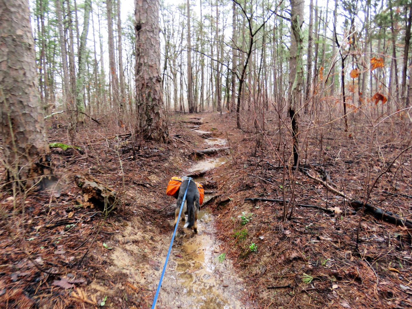
 |
| It's one creek crossing after another. |
 |
| Almost at the south loop. |
 |
| Leaving the north loop and starting the south loop. It was at this point where I was going to decide if I should do the whole trail or not since we were doing so many hikes in one week. But this was an awesome hike so there was no way I was not going to do the entire trail. Decision made. |
 |
| There is a scenic loop at the far end of the blue loop but the sign was on the ground. |
 |
| A beautiful area along River Aux Vases. |
 |
| The best shot I could get of a VERY fast prothonary warbler. In fact, all of the Missouri birds seem to be incredibly fast because of the many, many I saw, I only got a couple of pictures. |
 |
| Having finished the scenic loop, continuing right on blue. |
 |
| It's been an exhausting trip for Brodie. This is hike #4 of the week with two more to go but he keeps on going. |
 |
| It was supposed to be a partly sunny day and that finally did happen about 6 hours into the hike after fog and gray skies all morning. |
 |
| Finishing up the south loop ... |
 |
| ... and continuing on the red north loop. |
 |
| Brodie thought we were at the end when we could see the park campground below but that was not the case. About another mile and another mountain to climb. |
 |
| One final creek crossing ... |
 |
| ... before the bridges ... |
 |
| ... back to the car. |
When I was in St. Louis last fall, I had driven around DeSoto, Missouri in search of an old family cemetery but was not successful in finding it. Since then I was able to get information on the location which involves requesting permission to cross private property. At long last I found it on the way back to St. Louis after this hike.
 |
| The land of my people on my father's side, about 110 acres back in the day, farmed by my ancestors, before land was sold off leaving only the cemetery on the outskirts of the original property. |
 |
| My paternal great great great great grandparents: James C. Gowan (1796 - 1874) and Lucinda True Gowan (1805-1880). They were among the first to settle in DeSoto, Missouri having started out in Virginia. |
 |
| Brodie's litter haul for the day. Happy to say there wasn't much. |