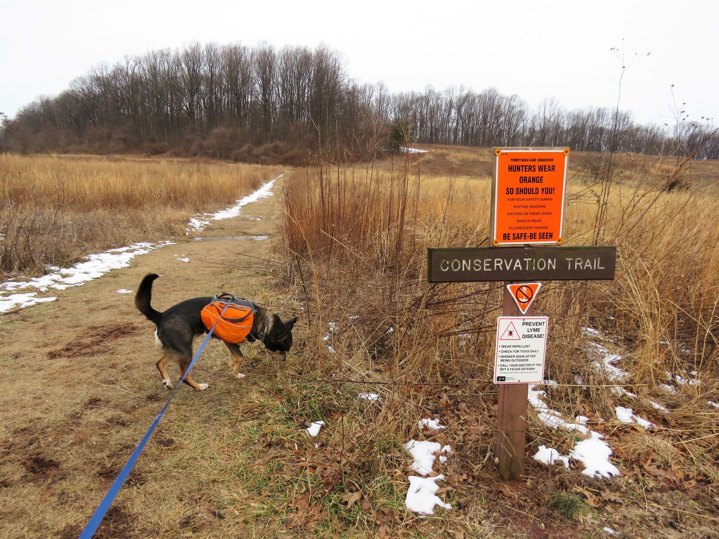
From the parking lot farthest away from the visitor center, starting on the Conservation Trail.
Looking back at the visitor center and Middle Creek Reservoir from the Conservation Trail.
Flocks flying every which way.
Middle Creek Reservoir
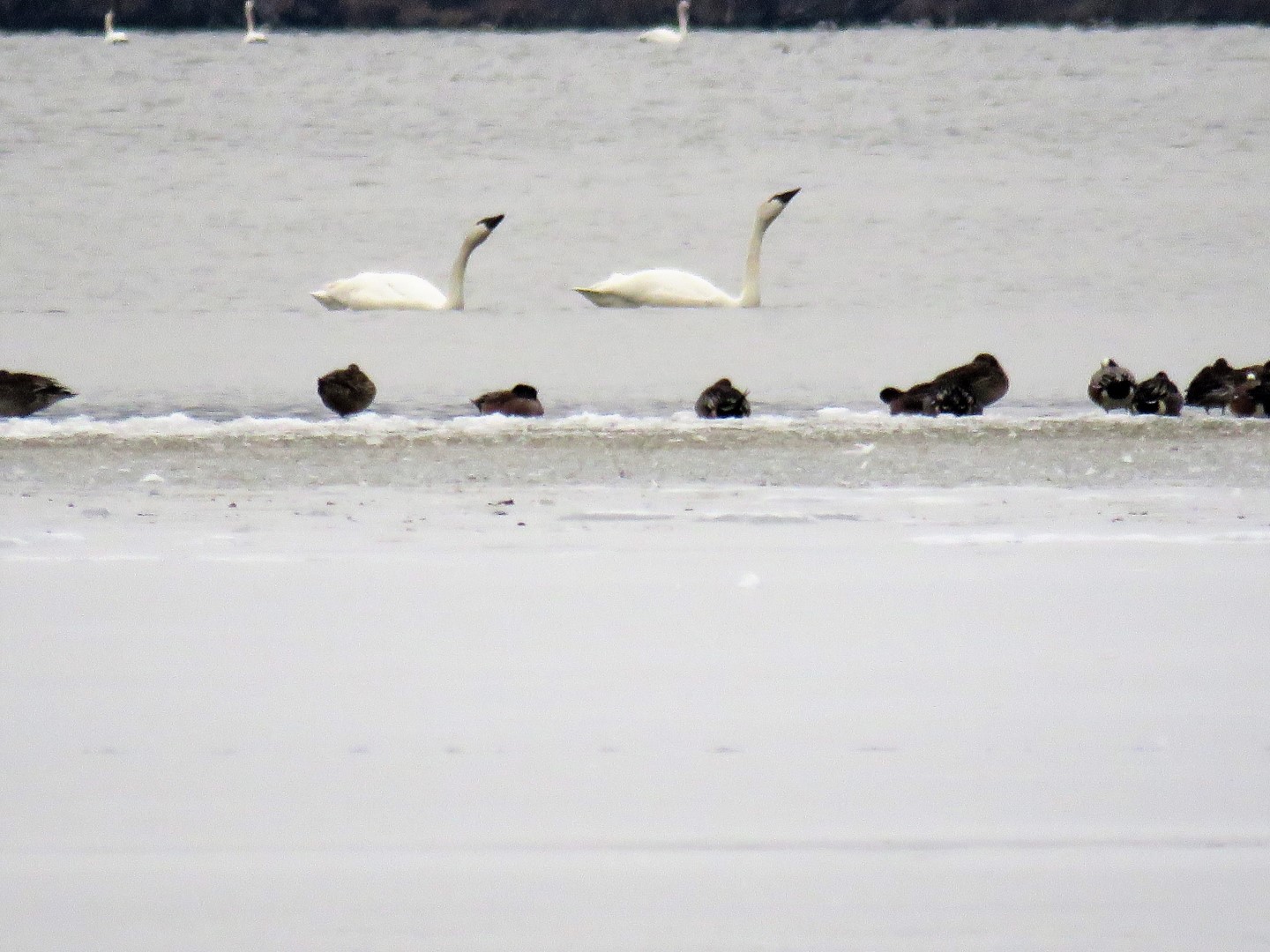
Migrating Tundra Swans in Middle Creek Reservoir
Based on the footprints in the snow, the Conservation Trail is used heavily but we ran into nobody else at 8:30 AM.
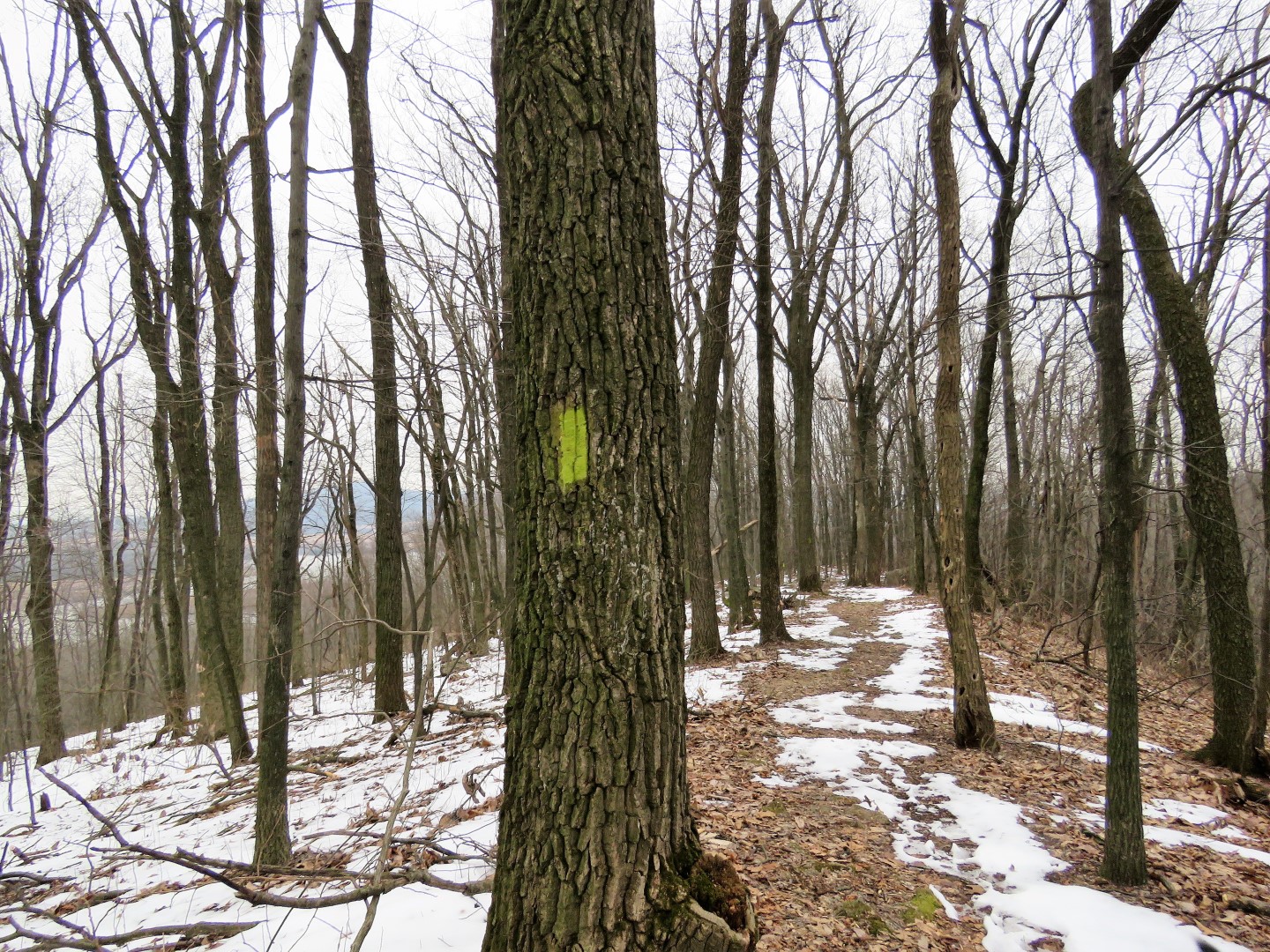
Once the Conservation Trail enters the woods, it is blazed green.
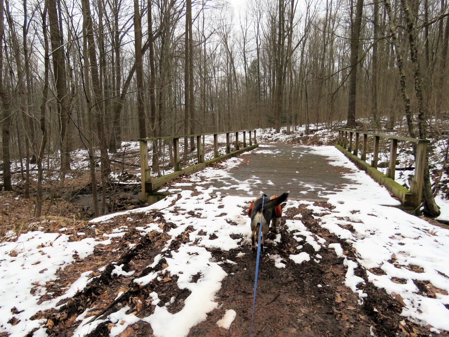
Sometimes the trail was covered with snow and ice ...
... other times sloppy mud.
I tried to tell him there was no sense not trying to get his paws wet. This was just they beginning of the hike and there was much more sloppiness to come.
When the Conservation Trail heads back towards the visitor center, we turned right towards the picnic area ...
... then right on the paved road a short distance to the T-intersection.
According to the Gaia app, there should have been a trail here up to the Fire Line Trail. There was nothing.
It was just a short bushwhack up from the road and we found the Fire Line Trail easily.
Fire Line Trail
The road over to the right shows just how short of a bushwhack it was to reach the Fire Line Trail.
At the end, a left on the Elders Run Trail.
Elders Run Trail is a wide gravel path through ...
... a power cut ...
... and up to the Horseshoe Trail at the top. The Elders Run Trail continues down the other side of the mountain but we'd be doing that later.
First a right on the yellow-blazed Horseshoe Trail which is also a gravel road through this section.
When another gravel road crossed over, we first went to the right even though it dead ends on the Gaia map but since it was the top of a hill, thought maybe there would be a view. There was none. So back across the Horseshoe Trail which would have been a left turn from the Horseshoe Trail the way we had originally been coming. There was only one set of footprints along this unnamed road but they soon left into the woods.
Following the Gaia app made this easy as I could tall where to turn left on an unmarked footpath.
There were no footprints at all here but the snow had melted off of the path so it was easy to follow.
Towards the top we hurdled blow downs.
After crossing an open area, the trail comes out at the bench where the Horseshoe Trail and Elders Run Trail intersect - the same spot we had been before.
After a break ...
... we continued on the Elders Run Trail downhill.
Some ruins off to the right.
A bridge over ...
... Elders Run.
Down to the left is the Middle Creek Trail which is an old railroad bed.
Left on the Middle Creek Trail.
Back over Elders Run.
Elders Run flowing into Middle Creek.
There were quite a few wet spots. Some had boardwalks, others had bypasses.
This is a very scenic section of trail along Middle Creek.
This old railbed is loaded with ankle-twisting chunky rocks.
As we were standing at the creek bank, I noticed a solitary snow goose waddling into the creek.
It was really cool to have an individual viewing since they are always in groups of thousands.
But what the heck was this guy doing by himself? Maybe he was tired and taking a break and would hook up with his flock later. I hope. At least he was swimming in the direction of the reservoir where snow geese had been flying over.
Pileated Woodpecker
The Middle Creek Trail ends at the Horseshoe Trail where the Horseshoe Trail turns right on the paved road. (We'd be coming back this way later.)
Brodie finally gave up on trying to keep his paws dry.
Crossing Middle Creek on the Horseshoe Trail over the road bridge.
Just after the bridge a left ...
... then a right back into the woods.
At the top of the hill when the Horseshoe Trail turns right, turn left on ...
... yellow/red to ...
a right on the red Millstone Trail.
This passes right by an overlook.
Middle Creek Reservoir
Time for a break and Brodie is quite filthy!
Continuing on and passing a millstone.
The Millstone Trail comes out on a paved road. Directly across the road is a parking lot and the Deer Path Trail which runs along the reservoir. Needing a break from snow, ice and mud, we turned left ...
.... and road walked for a bit passing the other end of the Millstone Trail.
We turned right at the boat launch ...
... for some more reservoir wildlife viewing.
We went in on this end of the Deer Path Trail for a bit ...
... but it was very soupy.
We stopped at a reservoir overlook ...
... just in time to see a snow goose migration in progress.
Heading back through the mud soup.
And continuing on the paved road ...
... passing the dam ...
... then a right back over the bridge over Middle Creek.
Passing the Middle Creek Trail where we have previously been and now keeping straight on the Horseshoe Trail.
Right on green/yellow.
Right on the green Valley View Trail.
This follows a ridge line with nice winter views on either side.
Valley View
Leaving the overlook, the trail switchbacks down.
Keeping left at the parking lot ...
... and continuing on the Valley View Trail after crossing the road.
Spicebush Trail from the Valley View Trail back to the visitor center.
Instead of turning left at the visitor center, we turned right across the field to get a last look at the reservoir.
Traffic jam of waterfowl onlookers. Everyone comes to see the snow goose migration in February/March.
Back to our car on the other side of the visitor center.