ABOUT THE PARK:
Harriman State Park - New York State Parks
DIRECTIONS:
GPS Coordinates 41.275333, -74.088773
 |
| Lake Tiorati Parking Lot - Note that Arden Valley Road beyond the parking lot is closed from Dec 1 - Apr 1 so you have to get there via Seven Lakes Drive. |
TRAIL MAP:
Northern Harriman Bear Mountain Trails Map #119 - NY/NJ Trail Conference
Harriman Trail Map - New York State Parks
HIKE DISTANCE: 7.8 miles
THE HIKE:
One last vacation day to use up in 2016 so I set off again without Shawnee and headed to Harriman State Park where the trails are now too difficult for her.
 |
| Lake Tiorati at the crack of dawn. |
 |
| This little white-breasted nuthatch was playing around with me in the parking lot but it wasn't light enough to get good pictures of him. |
 |
| I parked right next to the trailhead for the blue-blazed trail. |
 |
| This trail ascends to... |
 |
| ... two water towers. |
 |
| Just beyond the water towers, left on the Appalachian Trail/Ramapo Dunderberg Trail. |
 |
| This would be the Fingerboard Shelter on the ... |
 |
| ... blue-blazed Hurst Trail which is where I was heading. |
 |
| That sign earlier said closed August 1 - October 31. I think it is still closed. |
 |
| The blue-blazed Hurst Trail is a little hard to follow but that could also be because the blinding rising sun was in my eyes. |
 |
| The blue trail descends and ends at a woods road. Left goes to Seven Lakes Drive. I turned right. |
 |
| My plan was to hike the unmaintained Bottle Cap Trail but would it be easy to find? Would it be in good enough shape to follow? Things I read online did not look promising but I had a backup plan just in case. |
 |
| And there it is, the start of the Bottle Cap Trail with a marker and a cairn and definitely noticeable from the woods road. |
 |
| There were actually a LOT of bottle caps leading the way. Some were easy to see... |
 |
| ... others not. Can you see the bottle cap on this tree? |
 |
| A sampling of some of the bottle cap markers. |
 |
| Sometimes there is a well-defined path and where things got confusing there would usually be a cairn. |
 |
| Some sections have an abundance of bottle cap markers. |
 |
| There has even been some trail maintenance at times, actually very few blow downs to step over, |
 |
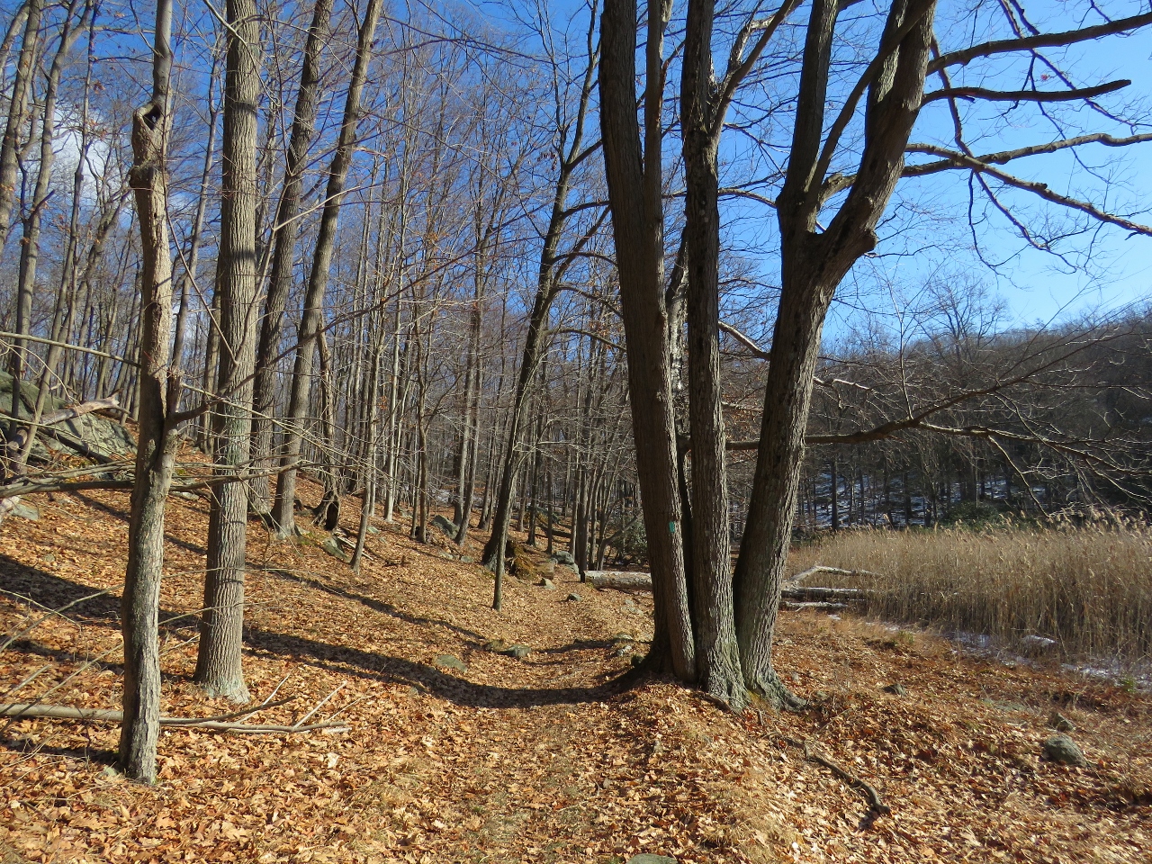
| Some winter views. |
 |
| It was just me and the dark-eyed juncos, not another soul around. Even the bears could hear me crunching in the frozen snow from miles away so I did not have to worry about startling them. |
 |
| A cairn where the Bottle Cap Trail crosses the Ramapo-Dunderberg Trail. This is about the half way point of the Bottle Cap Trail so if you have had enough you can get off here but I was actually enjoying it so I forged on. There were a handful of times when the trail was hard to find but I always did end up finding it and it didn't happen so often that it became annoying. |
 |
| The beautiful terrain continues on. |
 |
| Passing a mine on the right and shortly thereafter ... |
 |
| ... a cairn where the Bottle Top Trail crosses Surebridge Mine Road. Another out if you so desire, but not for me, continuing on. |
 |
| Crossing Surebridge Brook |
 |
| Some ruins right after the brook. |
 |
| Wow, a whole can! Now that was easy to see. |
 |
| This completes the Bottle Cap Trail which ran about 1.8 miles and all-in-all was a lot of fun and not all that hard to follow. |
 |
| It ends at the Long Path/Arden-Surebridge Trail where I turned right then ... |
 |
| ... right again when the Long Path left to the right. |
 |
| Creek crossing on tree roots. |
 |
| Dismal Swamp |
 |
| Critter tracks on the Long Path. |
 |
| Staying on the Long Path crossing over the Appalachian Trail. |
 |
| The unmaintained shelter, as indicated on the map. |
 |
| The trail becomes very rocky and through this section and here you can either limbo under or hurdle over 3 water pipes. |
 |
| Rocks |
 |
| More rocks. |
 |
| When the Long Path crosses Arden Valley Road... |
 |
| ... right on Arden Valley Road uphill to the top of the hill ... |
 |
| ... then right on the Appalachian Trail/Ramapo-Dunderberg trail towards the water towers. |
 |
| Left on blue just before the water towers... |
 |
| ...back to the parking lot. |