ABOUT THE PARK:
Nassau Trail - High Bridge Borough, NJ
DIRECTIONS:
GPS Coordinates 40.66309, -74.88150
TRAIL MAPS:
Nassau Trail - High Bridge Borough, NJ (not very accurate or useful)
HIKE DISTANCE: 5.8 miles
THE HIKE:
 |
| An overnight storm had just moved out, it was 100% humidity, and the sun beams put on quite a show. |
 |
| Trails branch off from the Nassau Trail but I stayed with the Nassau Trail intending to take one of the other trails back. |
 |
| The Nassau Trail is blazed in yellow. No other trails are blazed. |
 |
| Coming up on Nassau Road ... |
 |
| ... at a second parking lot. |
 |
| The yellow-blazed Nassau Trail actually turns left and follows Nassau Road to who knows where (nothing on maps) but a trail continues on the other side of Nassau Road. |
 |
| This is call the Connector Trail. |
 |
| Last night's raindrops coming down in buckets with every wind gust. |
 |
| The Connector Trail starts to switch back on itself as mountain bike trails tend to do. You get in a lot of mileage in a little bit of space. |
 |
| A contemporary cairn. |
 |
| Shawnee modeling a battery, a pool slide and an old barn all in one picture. |
 |
| We left the Connector Trail on the Rich Woods Trail which is not on the map. |
 |
| The Rich Woods Trail is all squiggly switchbacks. |
 |
| Finally, a straight stretch... |
 |
| ... to boxes where trail maintenance equipment is most likely store, just beyond which... |
 |
| ... is a trail to a field. The map shows a perimeter trail. I did not see this, only tire marks straight across the field but looked like houses on the other side. |
 |
| A bench at the field. |
 |
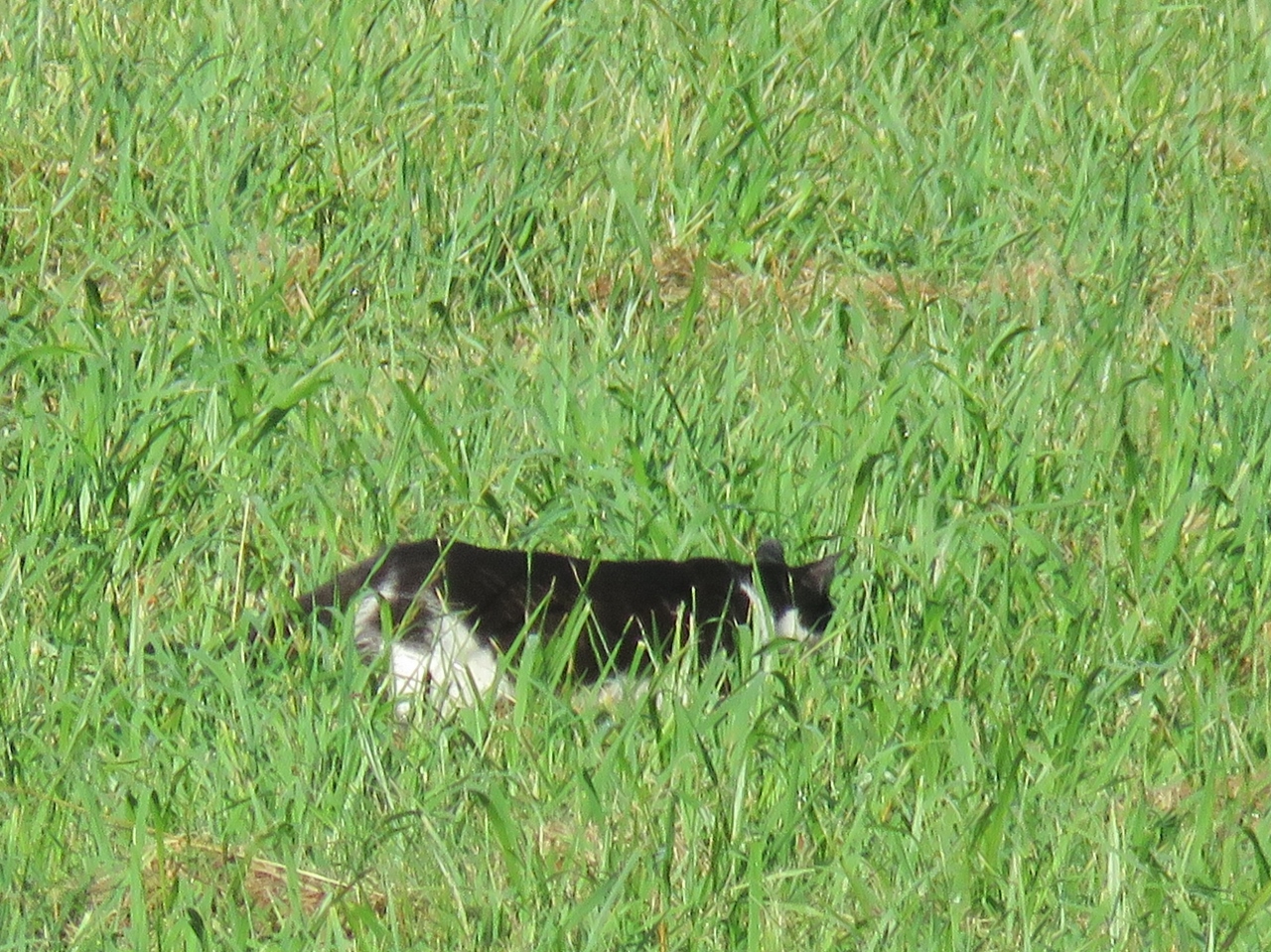
| And way, way over across the field, a cat. |
 |
| I did not know it until I uploaded my track but I should have taken the Springside Loop because that is actually the trail with the least squiggles but I did not know it at the time. So we squiggled and switchbacked on. |
 |
| Heading back on that straight stretch. |
 |
| There were so many birds to be heard but not seen. Even the robins were elusive but I managed to get one. |
 |
| This is where we came out of the Rich Woods Trail on the left so keeping right for the return route, |
 |
| Turkey Vulture |
 |
| That brought us right back to the Connector Trail which we retraced on. |
 |
| Crossing back over Nassau Road. |
 |
| We turned left on the Flat Lands Trail where the Nassau Trail went straight. |
 |
| Eastern Towhee |
 |
| Coming off of the Flat Lands Trail which again was a squiggly, switchbacking trail. |
 |
| Back on the Nassau Trail. The Nassau Trail is the only trail we were on that does not squiggle in on itself. |
 |
| Tomorrow, July 11, 2016, is Shawnee's Gotcha Day. Fifteen years ago on July 11, 2001 I sprung her from the Newark, NJ animal shelter. |