Start on 1777W (standing in the parking lot with your back to Seven Lakes Drive, it would be a left)
Hang a left at the intersection with the Appalachian Trail.
The trail is now the 1777W and Appalachian Trail combined.
When the AT turns left, go right on 1777W.
Keep left at the first fork. Right would have been our return route had we not decided to explore the new part of the Fawn Trail instead.
1777W will leave to the right and yellow will now be the bridle trail to the left.
I had started a helium balloon collection because I find so many on hikes. Was kind of bummed that even though I found 4 on 4 hikes in a row, I found none on the last 3 hikes. You would have thought I found a $100 bill when I saw this one. What a way to turn a negative into a positive. It's hanging in the basement drying right now. Will post a reconstruction picture at the end.
At the intersection, continue straight across towards the 1st June Cemetery. (This is not the same as the June Cemetery on the map - this had confused me.)
That looks like the Hudson River up ahead.
Indeed, it is!
1st June Cemetery
Anthony's Nose up ahead.
Hang a hard right on blue.
When blue turns left at a chunked up paved road, a short walk to the left has some Hudson River views.
But right on the chunked up pavement is the way to continue on.
Lots of historical markers along the way.
Many of the interpretive signs were stolen/destroyed by vandals (GRRRRR!) so these were replaced with laminated signs.
1777E joins the bridle trail for a bit.
When 1777E stays on the chunked up paved part, keep left on the bridle trail at the fork.
The Doodletown Reservoir dam to the right.
Doodletown Reservoir Dam
Doodletown Reservoir
June Cemetery (different than 1st June Cemetery which had me confused) in the distance but not accessible on this route.
Timp Brook
Crossing over Pleasant Valley Road.
1777 is Pleasant Valley Road which we crossed over.
Crossing Doodlekill.
Yellow follows the bridle path again for a bit.
When the bridle path goes left and yellow goes right, the bridle path to the left is now the new part of the Fawn Trail.
When the Fawn Trail left the bridle path, I decided to continue left on the Fawn Trail since the bridle path would have taken us to where we needed to repeat back to parking in a short distance.
When the Fawn Trail runs into the AT, turn right on the AT.
You can't see it in this picture but on the mountain top to the left is...
... Perkins Tower on top of Bear Mountain.
At the intersection with 1777W, turn left on 1777W...
... back to the parking lot which was MUCH more crowded than when we started at 7:30 AM!
Assorted litter that those who arrived after us won't have to look at.
And here you have it, the newest addition to my helium balloon collection.
Since this was our last hike of 2015, a picture from every hike in 2015. I just have to say that I cannot be more grateful that Shawnee has made it another full year. Not only is she still alive at almost 15 years of age, but she is still hiking. Never, in my wildest dreams, did I imagine I would be posting this complete video of her hikes of 2015. I don't even dare hope the same will happen in 2016 but it won't stop us from trying.
Walk towards the buildings from the parking lot and...
... turn right on the road which is the Hyde Park Trail.
Continue across the bridge.
Keep following the Hyde Park Trail signs.
Eleanor's Walk is a 1 mile loop. The Top Cottage Trail is 1 mile each way out and back. If you are going to do both, do Eleanor's Walk first because it will be anticlimactic after the Top Cottage Trail.
You can call from your cell phone for the audio tour. I did not know there were MP3 downloads available until just now (link above). I would have preferred those over calling the number at every stop.
Back at the intersection, on to Top Cottage.
There are several bridge crossing.
If you are so inclined.
Lots of old stone walls everywhere.
Almost at the top ...
... at Top Cottage ...
... and views of the Catskills and Hudson Valley!
There might not be much in the way of views in the summer so this was definitely the right time to visit.
The Catskill Mountains
Heading back down.
We stopped at the FDR Visitor Center on the way out for our hiking patch since we hiked 5 of the Hyde Park Trails.
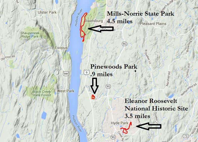
ABOUT THE PARK: Pine Woods Nature Trail - Hyde Park, NY Hyde Park Trail - Hyde Park, NY Recreation Trails DIRECTIONS:
GPS Coordinates 41.78644, -73.93141